Near Junction in Kimble County, Texas — The American South (West South Central)
Miller-Browning Colony
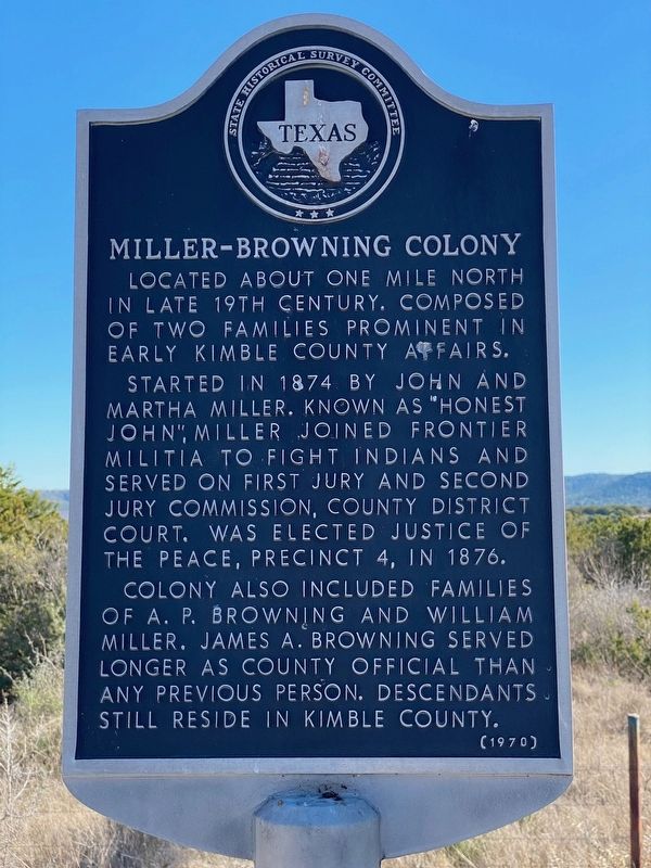
Photographed by Brian Anderson, December 30, 2019
1. Miller-Browning Colony Marker
Located about one mile north in late 19th century. Composed of two families prominent in early Kimble County affairs.
Started in 1874 by John and Martha Miller. Known as "Honest John", Miller joined frontier militia to fight Indians and served on first jury and second jury commission, County District Court. Was elected Justice of the Peace, Precinct 4, in 1876.
Colony also included families of A. P. Browning and William Miller. James A. Browning served longer as county official than any previous person. Descendants still reside in Kimble County.
Erected 1970 by State Historical Survey Committee. (Marker Number 3171.)
Topics. This historical marker is listed in this topic list: Settlements & Settlers. A significant historical year for this entry is 1874.
Location. 30° 29.564′ N, 99° 41.791′ W. Marker is near Junction, Texas, in Kimble County. It is on Farm to Market Road 2169 5½ miles north of Interstate 10, on the right when traveling north. Touch for map. Marker is in this post office area: Junction TX 76849, United States of America. Touch for directions.

Regionally, this marker is in the Hill Country.
this page online
Other nearby markers. At least 8 other markers are within 4 miles of this marker, measured as the crow flies: Cloud Point (here, next to this marker); The Oliver Pecan (approx. 2.2 miles away); Little Mexico (approx. 3.1 miles away); Teacup Mountain (approx. 3.6 miles away); Site of the 1908 Confederate Veterans Reunion (approx. 3.7 miles away); Schreiner Park (approx. 3.8 miles away); Kimble County's First Sawmill (approx. 3.9 miles away); South Llano Crossing (approx. 4 miles away). Touch for a list and map of all markers in Junction.

Photographed by Brian Anderson, December 30, 2019
2. Miller-Browning Colony Marker
Miller-Browning Colony marker is on the right, Cloud Point marker is on the left.
Credits. This page was last revised on November 27, 2020. It was originally submitted on December 30, 2019, by Brian Anderson of New Albany, Ohio. This page has been viewed 583 times since then and 22 times this year. Photos: 1, 2. submitted on December 30, 2019, by Brian Anderson of New Albany, Ohio.
