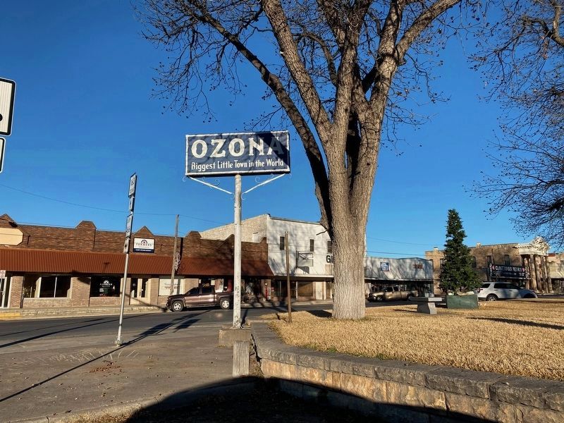
Ozona in Crockett County, Texas — The American South (West South Central)
Ernest Malapert Powell
Inscription.
A native of Illinois, E. M. Powell was a surveyor and railroad engineer in Kentucky before moving to Texas in 1874. He worked as a surveyor during the railroad construction boom in Texas in the 1870s, taking parcels of land in payment for his services. By 1878 Powell and a partner, E. L. Gage, opened a real estate and land surveying company in Dallas. Powell soon began promoting his land holdings in West Texas and placed newspaper advertisements to encourage settlement in this area. To the first families who purchased homesteads out of his 185,000-acre tract of land in present Crockett County, he offered forty acres of free land as well as reduced prices for additional acreage. The city of Ozona was founded on Powell's property. He provided a public well and windmill, as well as lots for public buildings, churches, and a school. As a result of his settlement efforts, the county of Crockett was organized in 1891 with Ozona as the county seat. Married to the former Mary Almyra Durrell, Powell was the father of one son, Durrell, who died at age seven. Powell was a major contributor to the Dallas Congregational Church and to other charities.
Erected 1991 by Texas Historical Commission. (Marker Number 1496.)
Topics. This historical marker is listed in these topic lists: Communications • Industry & Commerce • Railroads & Streetcars.
Location. Marker is missing. It was located near 30° 42.624′ N, 101° 12.081′ W. Marker was in Ozona, Texas, in Crockett County. Marker was at the intersection of 11th Street (Loop State Highway 466) and Avenue E (State Highway 163), on the right when traveling west on 11th Street. Touch for map. Marker was in this post office area: Ozona TX 76943, United States of America. Touch for directions.
Other nearby markers. At least 8 other markers are within walking distance of this location. Fort Lancaster C.S.A. (here, next to this marker); William Mozart McVey (a few steps from this marker); David Crockett (a few steps from this marker); Crockett County (within shouting distance of this marker); The Ozona Stockman (within shouting distance of this marker); Crockett County Courthouse (about 300 feet away, measured in a direct line); Ozona National Bank (about 300 feet away); The Perner House (about 400 feet away). Touch for a list and map of all markers in Ozona.
More about this marker. This marker has been missing for some time. The pole it was once attached to is still visible in the town square. The marker text on this page was retrieved from the Texas Historical Commission Atlas.
Credits. This page was last revised on January 1, 2020. It was originally submitted on December 30, 2019, by Brian Anderson of Humble, Texas. This page has been viewed 161 times since then and 9 times this year. Photo 1. submitted on December 30, 2019, by Brian Anderson of Humble, Texas.
