Fort Shaw in Cascade County, Montana — The American West (Mountains)
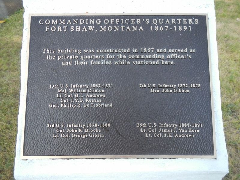
Commanding Officer's Quarters
Fort Shaw, Montana 1867-1891
Photographed by Barry Swackhamer, August 20, 2019
1. Commanding Officer's Quarters Marker
13th U.S. Infantry 1867-1871
Maj. William Clinton
Lt. Col. G.L. Andrews
Col. I.V.D. Reeves
Gen. Phillip R. De Trobriand
7th U.S. Infantry 1872-1879
Gen. John Gibbon
3rd U.S. Infantry 1878-1888
Col. John F. Brooke
Lt. Col. George Gibsin
25th U.S. Infantry 1888-1891
Lt. Col. James J. Van Horn
Lt. Col. J.K. Andrews
Topics. This historical marker is listed in this topic list: Forts and Castles.
Location. 47° 30.538′ N, 111° 49.276′ W. Marker is in Fort Shaw, Montana, in Cascade County. It is on School Loop near Old Fort Shaw Road, on the left when traveling west. Touch for map. Marker is at or near this postal address: 1 School Loop, Fort Shaw MT 59443, United States of America. Touch for directions.

Regionally, this marker is in andspecifically entral Montana in Russell Country. It is also in the American Mountain West and in the Lewis & Clark Corridor. Globally, it is in North America,
this page online
Other nearby markers. At least 5 other markers are within 6 miles of this marker, measured as the crow flies: Fort Shaw (within shouting distance of this marker); Fort Shaw Government Industrial Indian School (about 400 feet away, measured in a direct line); Undisputed Champions (about 400 feet away); a different marker also named Fort Shaw (approx. 0.6 miles away); Sun River Crossing (approx. 5.4 miles away).
Photographed by Barry Swackhamer, August 20, 2019
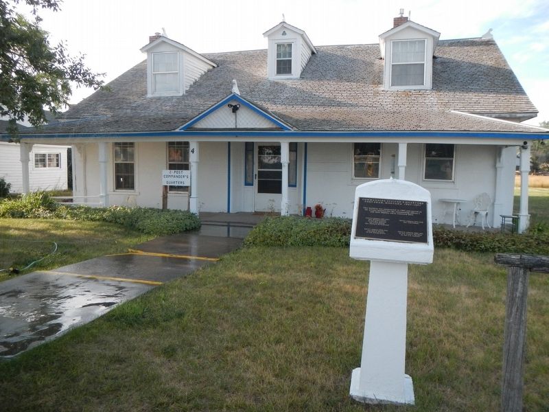
2. Commanding Officer's Quarters Marker
Credits. This page was last revised on January 1, 2020. It was originally submitted on January 1, 2020, by Barry Swackhamer of Brentwood, California. This page has been viewed 335 times since then and 26 times this year. Photos: 1, 2. submitted on January 1, 2020, by Barry Swackhamer of Brentwood, California.
