Near Wolf Creek in Lewis and Clark County, Montana — The American West (Mountains)
Return to the United States
Blackfoot Corridor

Photographed By Barry Swackhamer, August 20, 2019
1. Return to the United States Marker
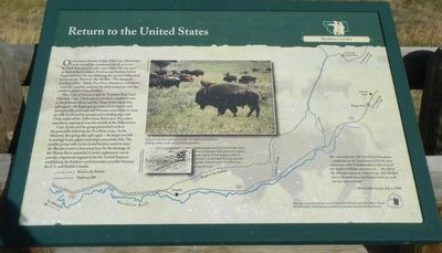
Captions: (top center) Central to the lives of Indian people, the buffalo provided food, clothing, shelter, tools, and spiritual sustenance.; (center) Indian people used dogs and, in later years, horses to transport their goods and supplies with a device French trappers called a "travois" - a sled made by tying tipi poles together. Travois tracks can still be seen along this trail. (bottom) Map of the Blackfoot River and tributaries and the Road to the Buffalo.
The Corps of Discovery split at "Travelers Rest" near Missoula. Capt. Clark's group traveled a southern route to the Jefferson River and the Three Forks where they split again - the larger group retrieved the canoes and descended the Jefferson and Missouri rivers (later to meet up with Lewis and his group) and a small group, with Clark, explored the Yellowstone River area. The entire expedition regrouped near the mouth of the Yellowstone.
Capt. Lewis and his group proceeded north to the great falls following the Nez Perce route. At the Missouri, this group also split again - the larger was left to portage boats, papers and maps around the falls. The smaller group with Lewis circled furthers north to meet the Blackfeet and to determine how far the drainage of the Marias River extended. Lewis's exploration was to provide a legitimate argument for the United States in establishing the fathers north boundary possible between the U.S. and British Canada.
"the road which they (the Nez Perce) shewed me ... would lead up the East branch of Clark's river and a river called Cokahlarishkit or the river of the road to buffaloe and thence to ... the falls of the Missouri where we wished to go. They alleged that as the road was a well beaten track we could not now miss our way. -- Meriwether Lewis, July 3, 1806
Erected by Lewis & Clark Bicentennial Commission of Lewis & Clark County.
Topics and series. This historical marker is listed in this topic list: Exploration. In addition, it is included in the Lewis & Clark Expedition series list. A significant historical date for this entry is July 3, 1806.
Location. 47° 10.809′ N, 112° 17.882′ W. Marker is near Wolf Creek, Montana, in Lewis and Clark County. Marker is on State Highway 200 at milepost 99 near State Road 434, on the right when traveling west. Touch for map. Marker is in this post office area: Wolf Creek MT 59648, United States of America. Touch for directions.
Other nearby markers. At least 7 other markers are within 9 miles of this marker, measured as the crow flies. Eagle Watch (here, next to this marker); Lewis and Clark Pass (approx. 6.7 miles away); Road to the Buffalo (approx. 8 miles away); Reaching Familiar Territory (approx. 8 miles away); Crossing Lewis and Clark Pass (approx. 8 miles away); Coldest Temperature in Contiguous United States (approx. 8.2 miles away); Record Cold Spot (approx. 8.4 miles away).
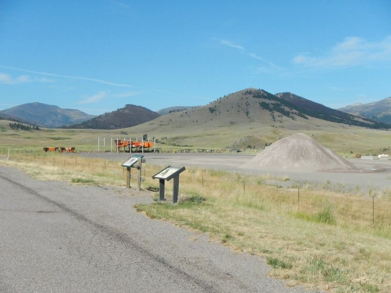
More about this marker. This maker is located at chain installation pullout.
Credits. This page was last revised on January 2, 2020. It was originally submitted on January 2, 2020, by Barry Swackhamer of Brentwood, California. This page has been viewed 201 times since then and 22 times this year. Photos: 1, 2. submitted on January 2, 2020, by Barry Swackhamer of Brentwood, California.
