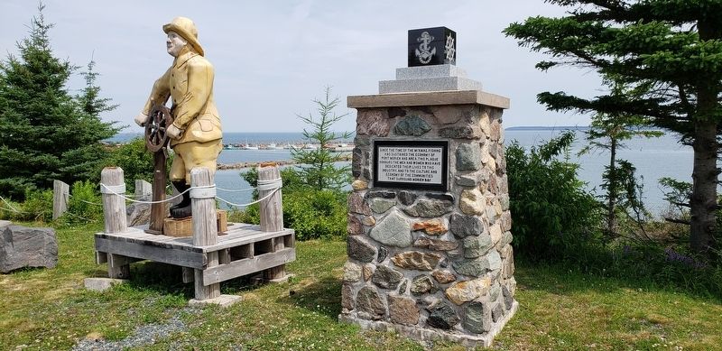
Port Morien in Cape Breton Region, Nova Scotia — The Atlantic Provinces (North America)
The Fishery in Port Morien
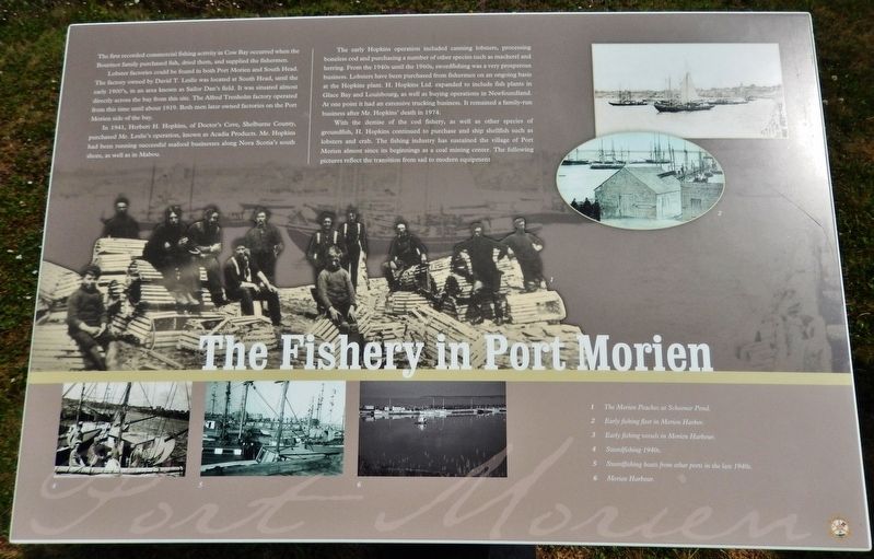
Lobster factories could be found in both Port Morien and South Head. The factory owned by David T. Leslie was located at South Head, until the early 1900's, in an area known as Sailor Dan's field. It was situated almost directly across the bay from this site. The Alfred Trenholm factory operated from this time until about 1919. Both men later owned factories on the Port Morien side of the bay.
In 1941, Herbert H. Hopkins, of Doctor's Cove, Shelburne County, purchased Mr. Leslie's operation, known as Acadia Products. Mr. Hopkins had been running successful seafood businesses along Nova Scotia's south shore, as well as in Mabou.
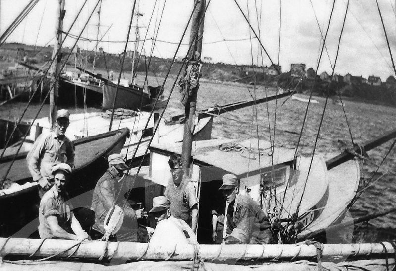
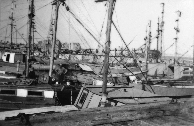
The early Hopkins operation included canning lobsters, processing boneless cod and purchasing a number of other species such as mackerel and herring. From the 1940s until the 1960s, swordfishing was a very prosperous business. Lobsters have been purchased from fishermen on an ongoing basis at the Hopkins plant. H. Hopkins Ltd. expanded to include fish plants in Glace Bay and Louisbourg, as well as buying operations in Newfoundland. At one point it had an extensive trucking business. It remained a family-run business after Mr. Hopkins' death in 1974.
With the demise of the cod fishery, as well as other species of groundfish, H. Hopkins continued to purchase and ship shellfish such as lobsters and crab. The fishing industry has sustained the village of Port Morien almost since its beginnings as a coal mining center. The following pictures reflect the transition from sail to modern equipment.
(photo captions)
1. The Morien Peaches at Schooner Pond.
2. Early fishing fleet in Morien Harbor.
3. Early fishing vessels in Morien Harbour.
4. Swordfishing 1940s.
5. Swordfishing boats from other ports in the late 1940s.
6. Morien Harbour.
Erected by Enterprise Cape Breton Corporation, Cape Breton County Economic Development Authority, and the Cape Breton Regional Municipality.
Topics. This historical marker is listed in these topic lists: Industry & Commerce • Waterways & Vessels.
Location. 46° 7.798′ N, 59° 52.551′ W. Marker is in Port Morien, Nova Scotia, in Cape Breton Region. Marker is on Marconi Trail (Nova Scotia Route 255) 0.2 kilometers south of Birch Grove Road, on the right when traveling north. Marker is located beside the highway on the south side of Morien Cliffs Municipal Park, overlooking Morien Bay. Touch for map. Marker is in this post office area: Port Morien NS B1B 1V9, Canada. Touch for directions.
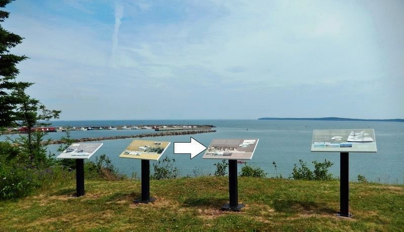
Other nearby markers. At least 8 other markers are within walking distance of this marker. Morien Bay (here, next to this marker); Gowrie and North Atlantic Collieries (here, next to this marker); Flint Island Light Station (here, next to this marker); Morien's Legacy (approx. half a kilometer away); Morien Institutions (approx. half a kilometer away); Morien Businesses of the Past (approx. half a kilometer away); First Boy Scout Troop in North America (approx. 1.1 kilometers away); The First Coal Workings in North America (approx. 1.1 kilometers away). Touch for a list and map of all markers in Port Morien.
Related markers. Click here for a list of markers that are related to this marker. Port Morien Interpretive Walking Tour
Photographed By Cosmos Mariner, July 21, 2019
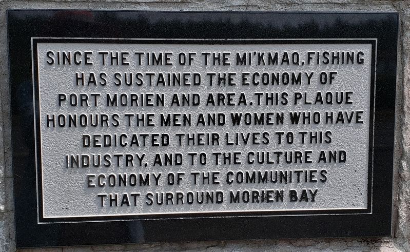
6. Port Morien Fishermen's Monument Plaque
Since the time of the Mi’kmaq, fishing has sustained the economy of Port Morien and area. This plaque honours the men and women who have dedicated their lives to this industry, and to the culture and economy of the communities that surround Morien Bay.
Credits. This page was last revised on January 3, 2020. It was originally submitted on January 2, 2020, by Cosmos Mariner of Cape Canaveral, Florida. This page has been viewed 253 times since then and 37 times this year. Photos: 1. submitted on January 2, 2020, by Cosmos Mariner of Cape Canaveral, Florida. 2, 3, 4, 5, 6. submitted on January 3, 2020, by Cosmos Mariner of Cape Canaveral, Florida.
