Port Morien in Cape Breton Region, Nova Scotia — The Atlantic Provinces (North America)
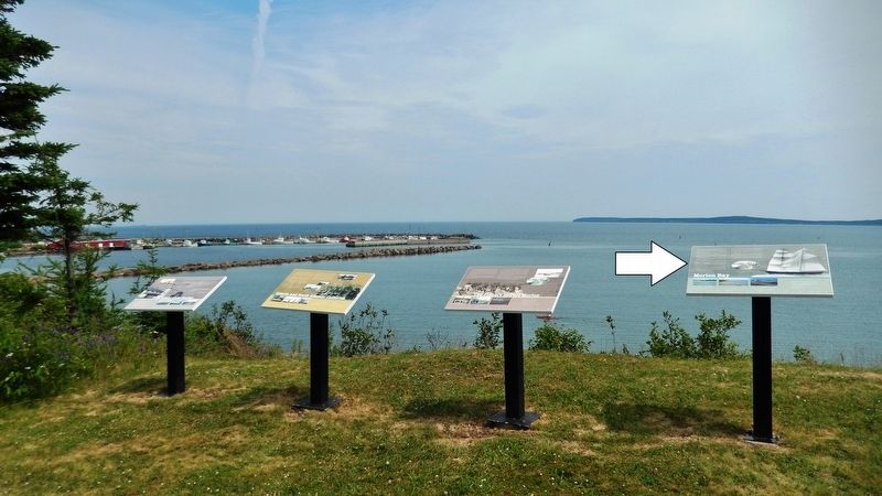
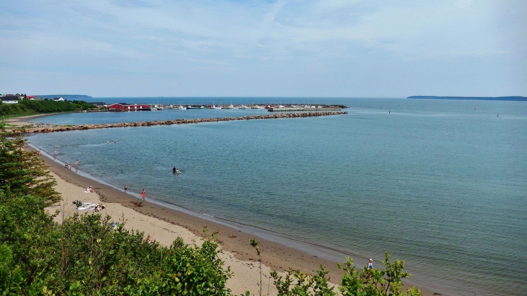
Morien Bay
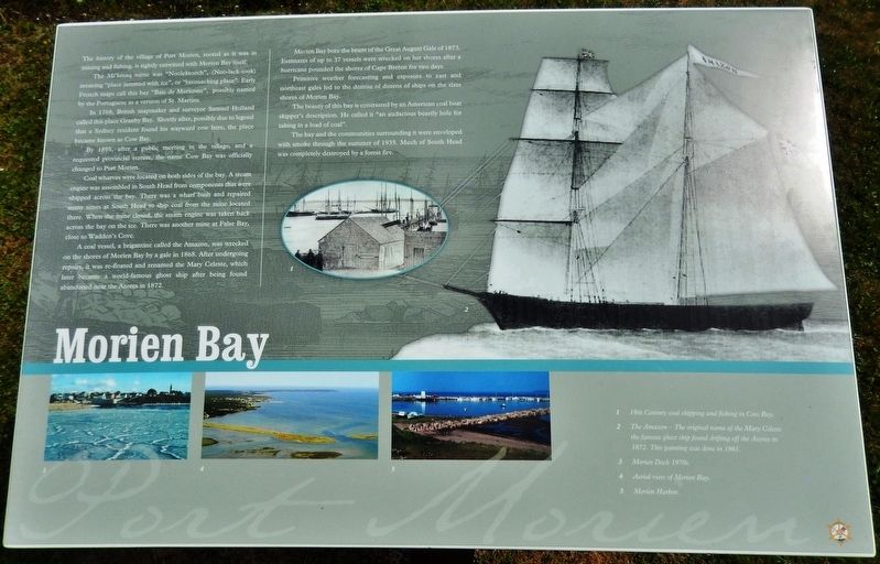
The Mi'kmaq name was "Noolektooch", (Noo-lack-took) meaning "place jammed with ice", or "bivouacking place". Early French maps call this bay "Baie de Morienne", possibly named by the Portuguese as a version of St. Martins.
In 1768, British mapmaker and surveyor Samuel Holland called this place Granby Bay. Shortly after, possibly due to legend that a Sydney resident found his wayward cow here, the place became known as Cow Bay.
By 1895, after a public meeting in the village, and a requested provincial statute, the name Cow Bay was officially changed to Port Morien.
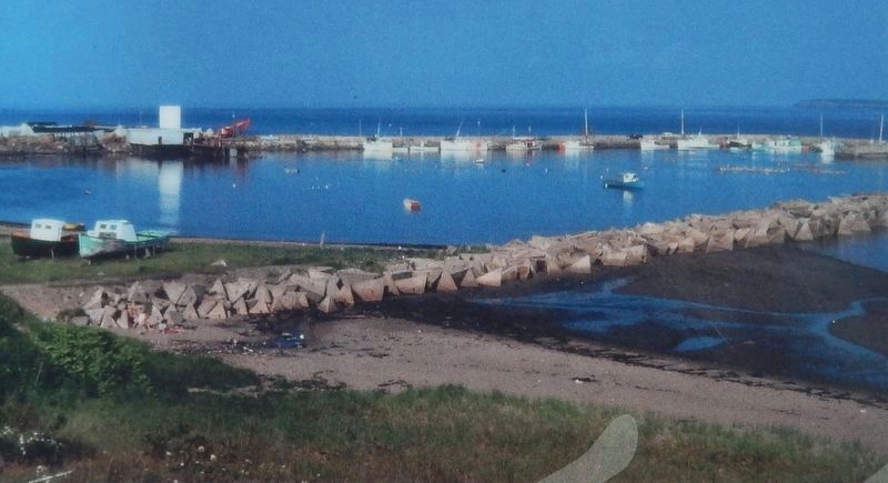
Coal wharves were located on both sides of the bay. A steam engine was assembled in South Head from components that were shipped across the bay. There was a wharf built and repaired many times at South Head to ship coal from the mine located there. When the mine closed, the steam engine was taken back across the bay on the ice. There was another mine at False Bay, close to Wadden's Cove.
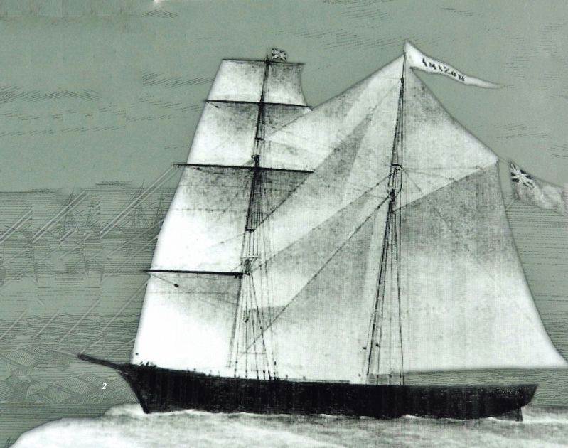
A coal vessel, a brigantine called the Amazon, was wrecked on the shores of Morien Bay by a gale in 1868. After undergoing repairs, it was re-floated and renamed the Mary Celeste, which later became a world-famous ghost ship after being found abandoned near the Azores in 1872.
Morien Bay bore the brunt of the Great August Gale of 1873. Estimates of up to 37 vessels were wrecked on her shores after a hurricane pounded the shores of Cape Breton for two days.
Primitive weather forecasting and exposure to east and northeast gales led to the demise of dozens of ships on the slate shores of Morien Bay.
The beauty of this bay is contrasted by an American coal boat skipper’s description. He called it "an audacious beastly hole for taking in a load of coal".
The bay and the communities surrounding it were enveloped with smoke through the summer of 1935. Much of South Head was completely destroyed by a forest fire.
(photo captions)
1. 19th
Century coal shipping and fishing in Cow Bay.
2. The Amazon — The original name of the Mary Celeste — the famous ghost ship found drifting off the Azores in 1872. This painting was done in 1861.
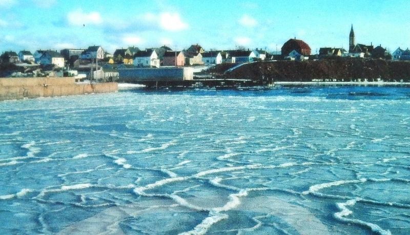
3. Morien Dock 1970s.
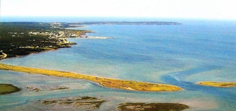
4. Aerial view of Morien Bay.
5. Morien Harbor.
Erected by Enterprise Cape Breton Corporation, Cape Breton County Economic Development Authority, and the Cape Breton Regional Municipality.
Topics. This historical marker is listed in these topic lists: Disasters • Waterways & Vessels.
Location. 46° 7.797′ N, 59° 52.551′ W. Marker is in Port Morien, Nova Scotia, in Cape Breton Region. Marker is on Marconi Trail (Nova Scotia Route 255) 0.2 kilometers south of Birch Grove Road, on the right when traveling north. Marker is located beside the highway on the south side of Morien Cliffs Municipal Park, overlooking Morien Bay. Touch for map. Marker is in this post office area: Port Morien NS B1B 1V9, Canada. Touch for directions.
Other nearby markers. At least 8 other markers are within walking distance of this marker. The Fishery in Port Morien (here, next to this marker); Gowrie and North Atlantic Collieries (here, next to this marker); Flint Island Light Station (here, next to this marker); Morien's Legacy (approx. half a kilometer away); Morien Institutions (approx. half a kilometer away); Morien Businesses of the Past (approx. half a kilometer away); First Boy Scout Troop in North America (approx. 1.1 kilometers away); The First Coal Workings in North America (approx. 1.1 kilometers away). Touch for a list and map of all markers in Port Morien.
Related markers. Click here for a list of markers that are related to this marker. Port Morien Interpretive Walking Tour
Also see . . . Mary Celeste (Wikipedia). Mary Celeste was built in Spencer's Island, Nova Scotia, and launched under British registration as Amazon in 1861. She was transferred to American ownership and registration in 1868, when she acquired her new name. Thereafter she sailed uneventfully until her 1872 voyage, when she was discovered adrift and deserted in the Atlantic Ocean off the Azores Islands on December 4, 1872. The Canadian brigantine Dei Gratia found her in a disheveled but seaworthy condition under partial sail and with her lifeboat missing. At the salvage hearings in Gibraltar following her recovery, the court's officers considered various possibilities of foul play, including mutiny by Mary Celeste's crew, piracy, and conspiracy to carry out insurance or salvage fraud. (Submitted on January 3, 2020, by Cosmos Mariner of Cape Canaveral, Florida.)
Additional commentary.
1. There is evidence that it was known as Cow Bay before 1768.
There seems to be some confusion. On this marker, it states that Cow Bay was named after Samuel Holland’s naming it Granby Bay in 1768.
In John Robson’s book Captain Cook’s War & Peace The Royal Navy Years 1755-1768, on page 71, there is part of a letter from Governor Francklin [of Nova Scotia] to President of the Board of Trade, 1766, TNA CO 217/19, describing the mine: “There is at Cow Bay….”
My interpretation is that it was already known as Cow Bay before this letter/memo. The question then is how much before? At least the date on marker should be corrected to 1766.
—James Corbet
— Submitted February 14, 2023.
Credits. This page was last revised on February 14, 2023. It was originally submitted on January 2, 2020, by Cosmos Mariner of Cape Canaveral, Florida. This page has been viewed 462 times since then and 68 times this year. Photos: 1. submitted on January 2, 2020, by Cosmos Mariner of Cape Canaveral, Florida. 2, 3, 4, 5, 6, 7. submitted on January 3, 2020, by Cosmos Mariner of Cape Canaveral, Florida.
