Near West Yellowstone in Gallatin County, Montana — The American West (Mountains)
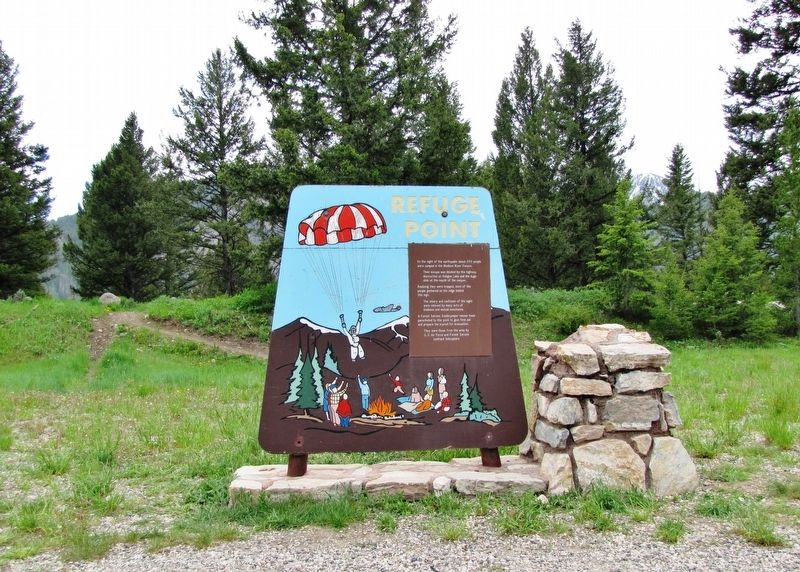
Refuge Point
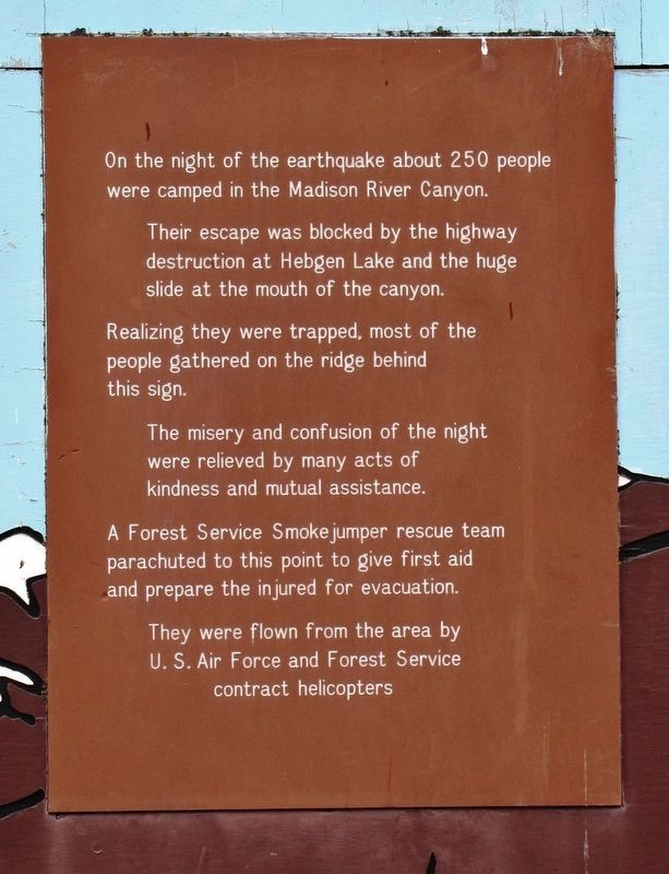
Their escape was blocked by the highway destruction at Hebgen Lake and the huge slide at the mouth of the canyon.
Realizing they were trapped, most of the people gathered on the ridge behind this sign.
The misery and confusion of the night were relieved by many acts of kindness and mutual assistance.
A Forest Service Smoke jumper rescue team parachuted to this point to give first aid and prepare the injured for evacuation.
They were flown from the area by U. S. Air Force and Forest Service contract helicopters.
Topics. This historical marker is listed in these topic lists: Disasters • Parks & Recreational Areas. A significant historical date for this entry is August 17, 1959.
Location. 44° 52.095′ N, 111° 21.41′ W. Marker is near West Yellowstone, Montana, in Gallatin County. Marker is on Hebgen Lake Road (U.S. 287) 14.6 miles west of Gallatin Road (U.S. 191), on the left when traveling west. Marker is located in a pull-out and parking area at the Refuge Point Trailhead. Touch for map. Marker is in this post office area: West Yellowstone MT 59758, United States of America. Touch for directions.
Other nearby markers. At least 8 other markers are within 10 miles of this marker, measured as the crow flies. The Night the Earth Cracked (approx. 0.8 miles away); A Leap Just in Time (approx. 1.7 miles away); Something is terribly wrong (approx. 1.8 miles away); The Lake that Tilted (approx. 1.8 miles away); Sleep Interrupted (approx. 2 miles away); The Seismic Shake that Shaped this Lake (approx. 2.1 miles away); Raynolds' Pass (approx. 6.1 miles away); The Night’s Peace Was Shattered (approx. 9.4 miles away). Touch for a list and map of all markers in West Yellowstone.
Also see . . . Earthquake Lake. On August 17, 1959 an earthquake in the Madison Canyon River Area, near West Yellowstone, formed Quake Lake. The earthquake created a massive landslide of about 80 million tons of rock, which stopped the flow of the Madison River in the Madison River Canyon gorge. The landslide caused 28 deaths, flooding and about $11 million in damage to the forests and highways in the area. (Submitted on January 5, 2020, by Cosmos Mariner of Cape Canaveral, Florida.)
Credits. This page was last revised on October 14, 2020. It was originally submitted on January 5, 2020, by Cosmos Mariner of Cape Canaveral, Florida. This page has been viewed 261 times since then and 12 times this year. Photos: 1, 2. submitted on January 5, 2020, by Cosmos Mariner of Cape Canaveral, Florida.

