Near Cameron in Madison County, Montana — The American West (Mountains)
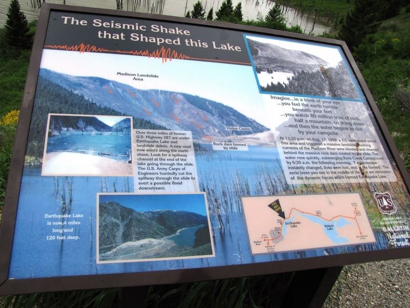
The Seismic Shake that Shaped this Lake
…you feel the earth rumble
beneath your feet
…you watch 80 million tons of rock,
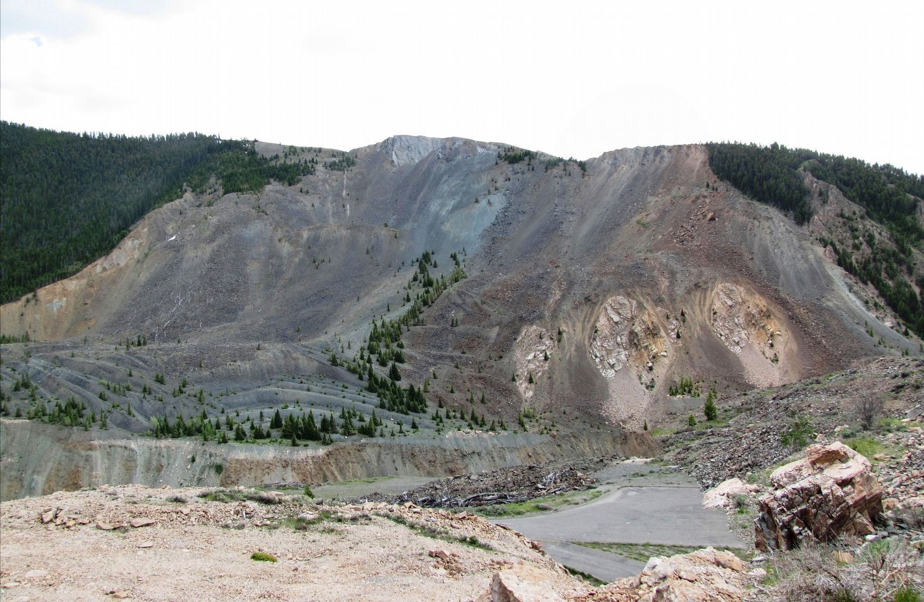
half a mountain, crashing down
…and then the water begins to rise
by your campsite
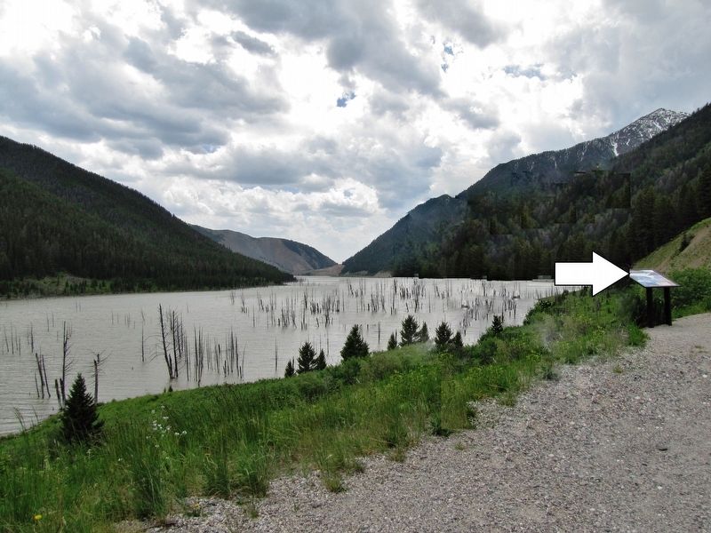
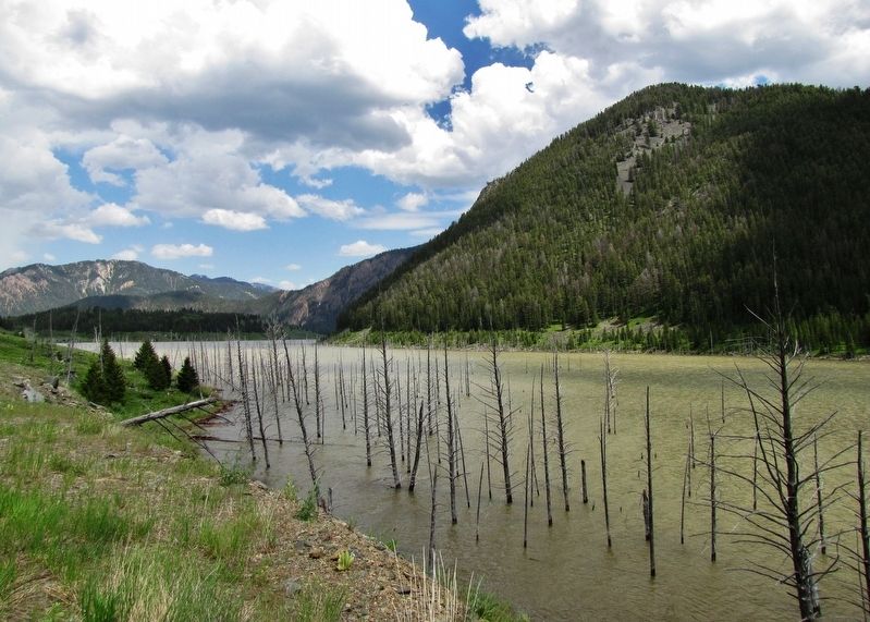
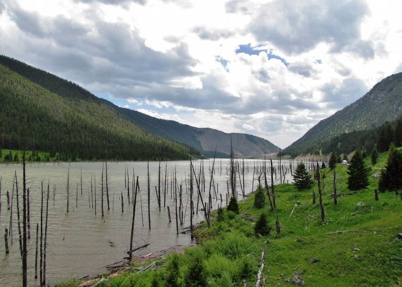
At 11:37 p.m. on Aug. 17, 1959 a 7.5 earthquake shook this area and triggered a massive landslide. Rushing currents of the Madison River were blocked and churned behind the massive rock dam created by the slide. The water rose quickly, submerging Rock Creek Campground by 6:30 a.m. the following morning. The landscape instantly changed, lives were lost, and a lake formed. The eerie trees you see in the middle of the lake are reminders of the dynamic forces which formed Earthquake Lake.
Over three miles of former U.S. Highway 287 are under Earthquake Lake and landslide debris. A new road now exists along the north shore. Look for a spillway channel at the end of the lake going through the slide. The U.S. Army Corps of Engineers hurriedly cut the spillway through the slide to avert a possible flood downstream.
Earthquake Lake is now 4 miles long and 120 feet deep.
Erected by Forest Service, U.S. Department of Agriculture.
Topics. This historical marker is listed in these topic lists: Disasters • Parks & Recreational Areas. A significant historical date for this entry is August 17, 1959.
Location. 44° 51.319′ N, 111° 23.685′ W. Marker is near Cameron, Montana, in Madison County. Marker is on U.S. 287, 5.7 miles east of State Highway 87, on the right when traveling east. Marker is located in a pull-out on the south side of US Highway 287, overlooking Earthquake Lake. Touch for map. Marker is in this post office area: Cameron MT 59720, United States of America. Touch for directions.
Other nearby markers. At least 8 other markers are within 11 miles of this marker, measured as the crow flies. Refuge Point (approx. 2.1 miles away); The Night the Earth Cracked (approx. 2.9 miles away); A Leap Just in Time (approx. 3.3 miles away); Something is terribly wrong (approx. 3.4 miles away); The Lake that Tilted (approx. 3.4 miles away); Sleep Interrupted (approx. 3½ miles away); Raynolds' Pass (approx. 4.1 miles away); Earthquakes! (approx. 10.3 miles away).
Also see . . . Earthquake Lake (Wikipedia). The earthquake was the most powerful to hit the state of Montana in historic times. The landslide traveled down the south flank of Sheep Mountain, at an estimated 100 miles per hour, killing 28 people who were camping along the shores of Hebgen Lake and downstream along the Madison River. The landslide blocked almost all the flow of the Madison River which began to fill in the void upstream from the slide. In less than a month, the waters had created what is now known as Earthquake Lake. The lack of a reliable water outlet
for this new lake forced one of the largest mobilizations of the U.S. Army Corps of Engineers ever commenced in the western U.S. Before the new landslide was breached by the quickly rising waters, a spillway was constructed to ensure erosion and potential failure of the natural dam would be minimized. (Submitted on January 5, 2020, by Cosmos Mariner of Cape Canaveral, Florida.)
Credits. This page was last revised on January 5, 2020. It was originally submitted on January 5, 2020, by Cosmos Mariner of Cape Canaveral, Florida. This page has been viewed 197 times since then and 19 times this year. Photos: 1, 2, 3, 4, 5. submitted on January 5, 2020, by Cosmos Mariner of Cape Canaveral, Florida.
