Idaho Springs in Clear Creek County, Colorado — The American Mountains (Southwest)
Arrastra
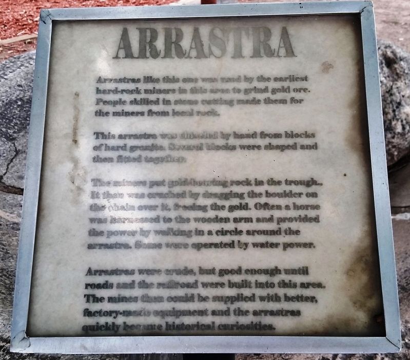
Arrastras like this one were used by the earliest hard-rock miners in this area to grind gold ore. People skilled in stone cutting made them for the miners from local rock.
This arrastra was chiseled by hand from blocks of hard granite. Several blocks were shaped and then fitted together.
The miners put gold-bearing rock in the trough. It then was crushed by dragging the boulder on the chain over it, freeing the gold. Often a horse was harnessed to the wooden arm and provided the power by walking in a circle around the arrastra. Some were operated by water power.
Arrastras were crude, but good enough until roads and the railroad were built into this area. The mines then could be supplied with better, factory-made equipment and the arrastras quickly became historical curiosities.
Topics. This historical marker is listed in this topic list: Industry & Commerce.
Location. 39° 44.516′ N, 105° 31.104′ W. Marker is in Idaho Springs, Colorado, in Clear Creek County. Marker is on Miner Street just west of 14th Avenue, on the right when traveling west. Marker is located beside the sidewalk in a small plaza on the south side of the Idaho Springs Public Library. Touch for map. Marker is at or near this postal address: 219 14th Avenue, Idaho Springs CO 80452, United States of America. Touch for directions.
Other nearby markers. At least 8 other markers are within 4 miles of this marker, measured as the crow flies. The Mead and Cooper Building (about 500 feet away, measured in a direct line); Mining Exchange Building (about 500 feet away); Idaho Springs Opera House (about 600 feet away); The Charlie Tayler Waterwheel (approx. 0.2 miles away); Central City (approx. 4 miles away); Central City Opera (approx. 4 miles away); The AOUW Building (approx. 4 miles away); The Ignatz Meyer Building (approx. 4 miles away). Touch for a list and map of all markers in Idaho Springs.
Also see . . . Arrastra (Wikipedia). The Spanish introduced the arrastra to the New World in the 16th century. The word "arrastra" comes from the Spanish language arrastrar, meaning to drag along the ground. Arrastras were suitable for use in small or remote mines, since they could be built from local materials and required little investment capital. (Submitted on January 6, 2020, by Cosmos Mariner of Cape Canaveral, Florida.)
Credits. This page was last revised on August 18, 2020. It was originally submitted on January 6, 2020, by Cosmos Mariner of Cape Canaveral, Florida. This page has been viewed 425 times since then and 43 times this year. Photos: 1, 2. submitted on January 6, 2020, by Cosmos Mariner of Cape Canaveral, Florida.

