Groveton in Fairfax County, Virginia — The American South (Mid-Atlantic)
Unfolding Views, Hidden Stories
A View for All Time
Photographed by Allen C. Browne, January 5, 2020
1. Unfolding Views, Hidden Stories Marker
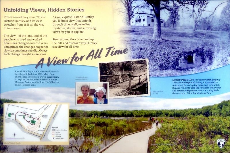
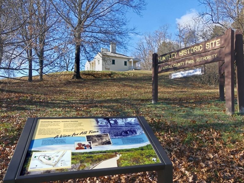
The view—of the land, and of the people who lived and worked here—has changed over the years. Sometimes the changes happened slowly, sometimes rapidly. Always, each change brought a new view.
As you explore Historic Huntley, you'll find a view that unfolds through time itself, revealing mysteries, stories, and surprising views for you to explore.
Stroll around the corner and up the hill, and discover why Huntley is a view for all time.
Historic Huntley and Huntley Meadows Park have been linked since 1825, when they, and the area in between, were a single farm. To explore the natural wonders of Huntley Meadows Park, meander down the hill to the end of Harrison Lane.
Erected by Fairfax County Park Authority.
Topics. This historical marker is listed in these topic lists: Parks & Recreational Areas • Settlements & Settlers. A significant historical year for this entry is 1825.
Location. 38° 45.928′ N, 77° 5.664′ W. Marker is in Groveton, Virginia, in Fairfax County. It is at the intersection of
this page online

Regionally, this marker is in the Washington Metropolitan Area and in Northern Virginia. It is also in the American South, specifically in the Upper South, in the Mid-Atlantic, and on the Eastern Seaboard. Globally, it is in the North Atlantic Region, North America, the Western Hemisphere, the Western World, and the Anglosphere. Historically, it finds itself in what was once the territory of the Mississippian Culture, one of the original Thirteen Colonies, one of the Confederate States of America, and the Antebellum South.
Other nearby markers. At least 8 other markers are within walking distance of this marker: Huntley (a few steps from this marker); Your View, Your Voice (within shouting distance of this marker); New Views, New Voices (within shouting distance of this marker); a different marker also named Huntley (about 300 feet away, measured in a direct line);
Photographed by Allen C. Browne, January 5, 2020
2. Unfolding Views, Hidden Stories Marker
Also see . . . Friends of Historic Huntley. (Submitted on January 13, 2020.)
Photographed by Allen C. Browne, January 5, 2020
3. Spring House
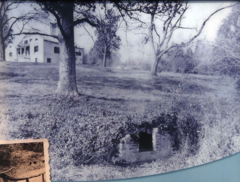
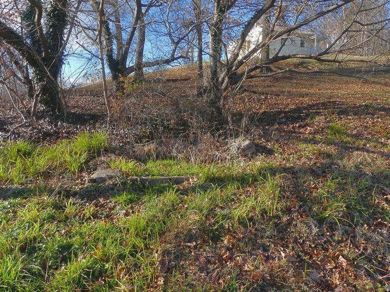
Listen Carefully: do you hear water gurgling? That's an underground spring. You can see the remains of the old spring house just to your left. Huntley residents used the spring for fresh water and natural refrigeration. Now the spring feeds the wetlands of Huntley Meadows Park. Close-up of photo on marker
Photographed by Allen C. Browne, January 5, 2020
4. Remains of the Spring House
Photographed by Allen C. Browne, January 5, 2020
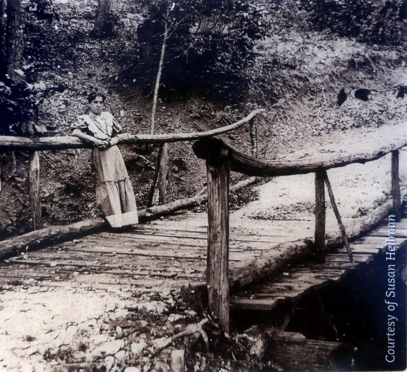
5. Mary Harrison c. 1900
Photographed by Allen C. Browne, January 5, 2020
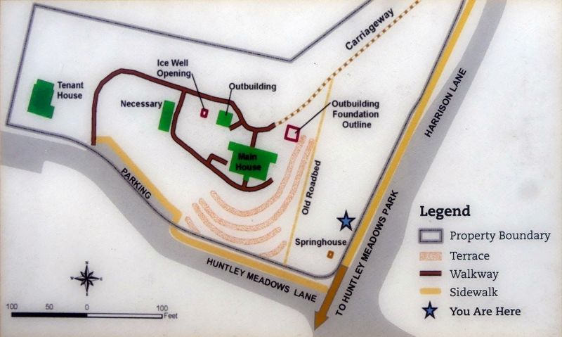
6. Map of Historic Huntley
Credits. This page was last revised on January 18, 2023. It was originally submitted on January 7, 2020, by Allen C. Browne of Silver Spring, Maryland. This page has been viewed 376 times since then and 18 times this year. Photos: 1, 2, 3, 4, 5, 6. submitted on January 7, 2020, by Allen C. Browne of Silver Spring, Maryland. • Bernard Fisher was the editor who published this page.
