St. Elmo in Fayette County, Illinois — The American Midwest (Great Lakes)
St. Elmo
Planes, Trains, and Automobiles
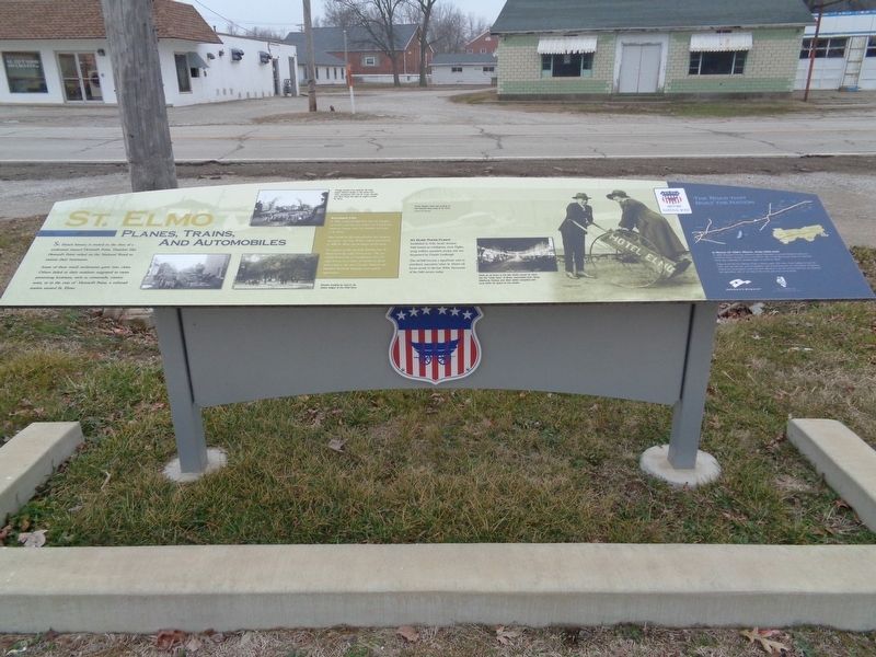
St. Elmo's history is rooted in the dust of a settlement named Howard's Point. Hamlets like Howard's Point relied on the National Road to sustain their businesses.
Some of these small settlements grew into cities. Others faded as their residents migrated to more promising locations, such as crossroads, county seats, or in the case of Howard's Point, a railroad station named St. Elmo.
Railroad Ties
In 1882, contractors Johnston Bros. & Fraight surveyed a rail line hat would link Central and Southern Illinois, with the northern terminus at St. Elmo.
After bonds for the railroad failed, the company surveyed a new line. When construction started in 1895, St. Elmo was no longer on the route.
As a station on the east-west Vandalia line, St. Elmo knew the value of rail access. The city rallied. It invested in a roundhouse, rail, and right-of-way. In a matter of months, St. Elmo built a link to the new Chicago, Paducah and Memphis Railroad, forging a new road to opportunity.
St. Elmo Takes Flight
Established in 1926, Smith Aviation Field hosted air exhibitions, stunt flights, wing walkers, parachute jumps, and was frequented by Charles Lindbergh.
The airfield became a significant asset to petroleum executives when St. Elmo's oil boom struck in the late 1930s. Remnants of the field remain today.
Photo captions:
Though popular and practical, rail travel wasn't without danger. In this photo from 1912, employees from the St. Louis, Vandalia and Terre Haute line right an engine outside St. Elmo.
Whether traveling by road or rail, visitors lodged at the Hotel Elmo.
Smith Aviation Field was located on the National Road west of St. Elmo.
When an oil boom in the late 1930s turned St. Elmo into the "Little Tulsa" of Illinois, automobiles from Texas, Oklahoma, Kansas, and other states competed with local traffic for space on the streets.
(aside:)
A Road of Dirt, Rock, And Dreams
In 1806, President Thomas Jefferson signed legislation to provide federal funding for a National Road. Surveyed from Cumberland, Md., to the Mississippi River, the National Road was a highway for pioneers eager to settle the West.
Today, as US 40, the National Road in Illinois spans 164 miles. From Indiana to East St. Louis, you can still see how the ambitions and accomplishments of early Illinois immigrants shaped our communities. You'll find their influence in our art and architecture, our industry and agriculture, and in our way of life. Enjoy your time on the Road.
Erected 2015 by National
Road Association of Illinois.
Topics and series. This historical marker is listed in these topic lists: Air & Space • Industry & Commerce • Railroads & Streetcars • Roads & Vehicles. In addition, it is included in the The Historic National Road series list.
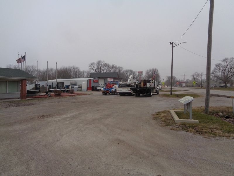
Location. 39° 1.393′ N, 88° 51.024′ W. Marker is in St. Elmo, Illinois, in Fayette County. Marker is at the intersection of East Cumberland Road (U.S. 40) and South Olive Street, on the right when traveling east on East Cumberland Road. Marker is in front of St. Elmo Veterans Memorial. Touch for map. Marker is at or near this postal address: 221 East Cumberland Rd, Saint Elmo IL 62458, United States of America. Touch for directions.
Other nearby markers. At least 7 other markers are within 11 miles of this marker, measured as the crow flies. St. Elmo Area Veterans Memorial (within shouting distance of this marker); Brownstown (approx. 5.8 miles away); Brownstown Area Veterans Memorial (approx. 5.9 miles away); Dr. Charles M. Wright House (approx. 6.2 miles away); Altamont (approx. 6.3 miles away); Veterans Memorial (approx. 6.3 miles away); National Road (approx. 10.2 miles away).
Also see . . .
1. St. Elmo and Brownstown. From the Illinois National Road's YouTube channel, this is a short video that talks about the villages of St. Elmo and Brownstown, starting with the former.
(Submitted on January 7, 2020, by Jason Voigt of Glen Carbon, Illinois.)
2. St. Elmo kiosk tells story of '30s oil boom. An article from The Leader-Union (based in Vandalia, Ill.), this article goes into detail about the marker (or kiosk). (Submitted on January 7, 2020, by Jason Voigt of Glen Carbon, Illinois.)
Credits. This page was last revised on February 18, 2021. It was originally submitted on January 7, 2020, by Jason Voigt of Glen Carbon, Illinois. This page has been viewed 1,407 times since then and 176 times this year. Photos: 1, 2. submitted on January 7, 2020, by Jason Voigt of Glen Carbon, Illinois. • Devry Becker Jones was the editor who published this page.

