Near Earleville in Cecil County, Maryland — The American Northeast (Mid-Atlantic)
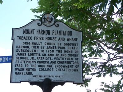
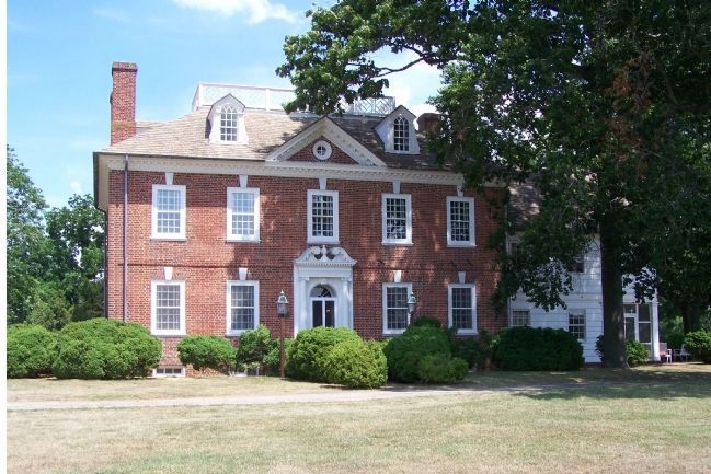
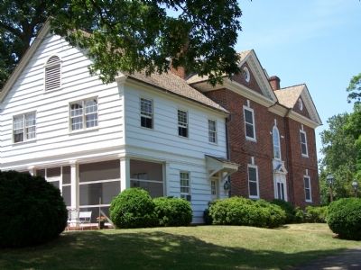
Mount Harmon Plantation
Tobacco Prize House and Wharf
Erected by Maryland Historical Society.
Topics. This historical marker is listed in these topic lists: Churches & Religion • Colonial Era • Education • Patriots & Patriotism. A significant historical year for this entry is 1760.
Location. 39° 24.402′ N, 75° 56.393′ W. Marker is near Earleville, Maryland, in Cecil County. Marker is on Grove Neck Road, 0.1 miles west of Pond Neck Road, on the left when traveling west. Touch for map. Marker is in this post office area: Earleville MD 21919, United States of America. Touch for directions.
Other nearby markers. At least 8 other markers are within 2 miles of this marker, measured as the crow flies. Woodlawn (approx. ¼ mile away); Mount Pleasant (approx. one mile away); Rose Hill (approx. one mile away); On the Wild Side (approx. 1.7 miles away); Plantation Life in the Colonial Era (approx. 1.7 miles away); Mount Harmon Plantation at World's End (approx. 1.7 miles away); a different marker also named Mount Harmon Plantation at World’s End (approx. 1.7 miles away); North Sassafras Parish (approx. 1.7 miles away). Touch for a list and map of all markers in Earleville.
Also see . . . Mount Harmon Plantation Home Page. (Submitted on December 28, 2008, by Barbara Garner of Earleville, Maryland.)
Credits. This page was last revised on February 24, 2020. It was originally submitted on July 15, 2007, by Bill Pfingsten of Bel Air, Maryland. This page has been viewed 2,915 times since then and 24 times this year. Last updated on January 8, 2020, by Carl Gordon Moore Jr. of North East, Maryland. Photos: 1, 2, 3, 4, 5. submitted on July 15, 2007, by Bill Pfingsten of Bel Air, Maryland.


