Amenia in Dutchess County, New York — The American Northeast (Mid-Atlantic)
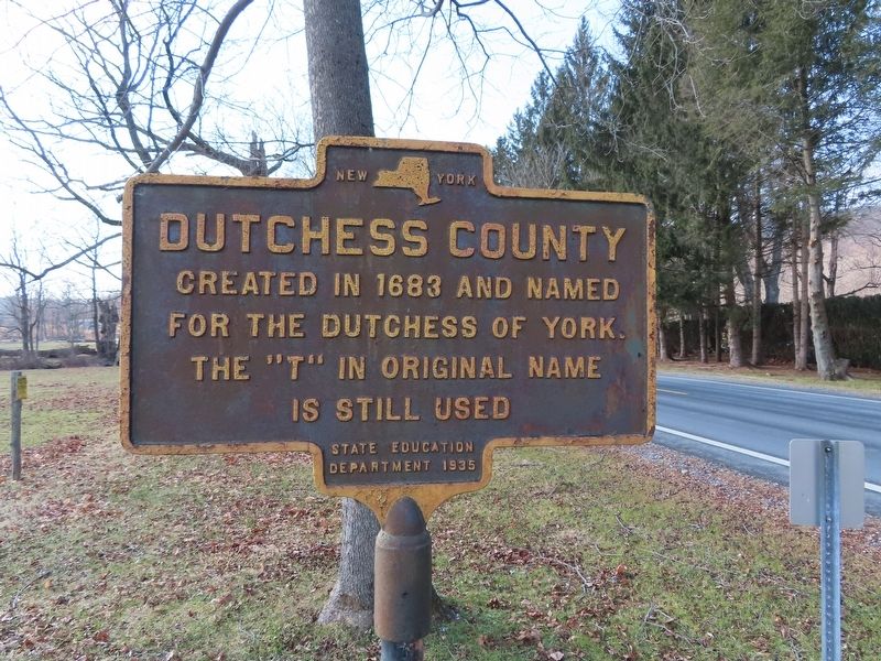
Dutchess County
Ceated in 1683 and named
for the Dutchess of York.
The “t” in original name
is still used
Erected 1935 by NY State Education Department.
Topics. This historical marker is listed in this topic list: Colonial Era. A significant historical year for this entry is 1683.
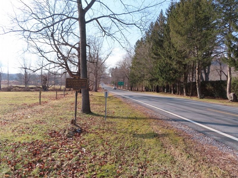
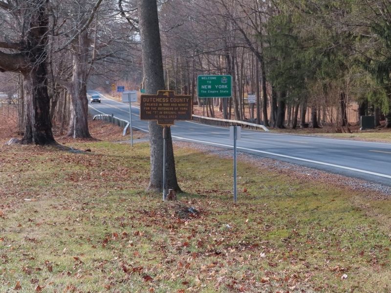
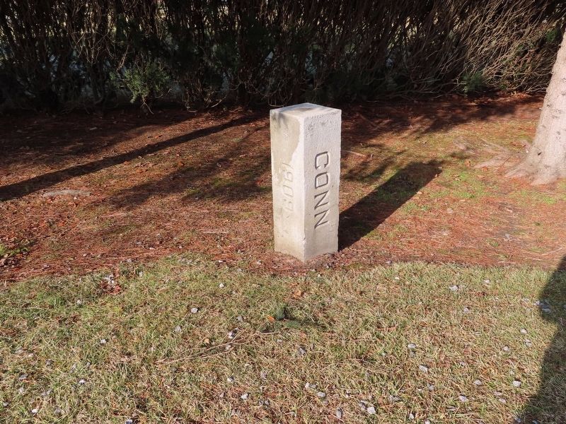
Location. 41° 52.093′ N, 73° 30.071′ W. Marker is in Amenia, New York, in Dutchess County. Marker is on New York State Route 343, 0.2 miles north of Randall Road, on the left when traveling south. Located at the New York – Connecticut border. Touch for map. Marker is in this post office area: Amenia NY 12501, United States of America. Touch for directions.
Other nearby markers. At least 8 other markers are within 3 miles of this marker, measured as the crow flies. Troutbeck (approx. 1.1 miles away); Sharon Veterans Monument (approx. 1.3 miles away in Connecticut); Dedicated to the Men and Women of Sharon (approx. 1.3 miles away in Connecticut); Sharon Clock Tower (approx. 1.4 miles away in Connecticut); Site of the 2nd House of Worship (approx. 1.4 miles away in Connecticut); Sharon (approx. 1.4 miles away in Connecticut); Sharon Soldiers' Monument (approx. 1.6 miles away in Connecticut); Amenia (approx. 2.8 miles away). Touch for a list and map of all markers in Amenia.
Also see . . .
1. Dutchess County, New York. (Submitted on January 9, 2020, by Michael Herrick of Southbury, Connecticut.)
2. Dutchess County, New York (Wikipedia). (Submitted on January 9, 2020, by Michael Herrick of Southbury, Connecticut.)
Credits. This page was last revised on January 9, 2020. It was originally submitted on January 9, 2020, by Michael Herrick of Southbury, Connecticut. This page has been viewed 302 times since then and 38 times this year. Photos: 1, 2, 3, 4. submitted on January 9, 2020, by Michael Herrick of Southbury, Connecticut.


