Cornwall Bridge in Kent in Litchfield County, Connecticut — The American Northeast (New England)
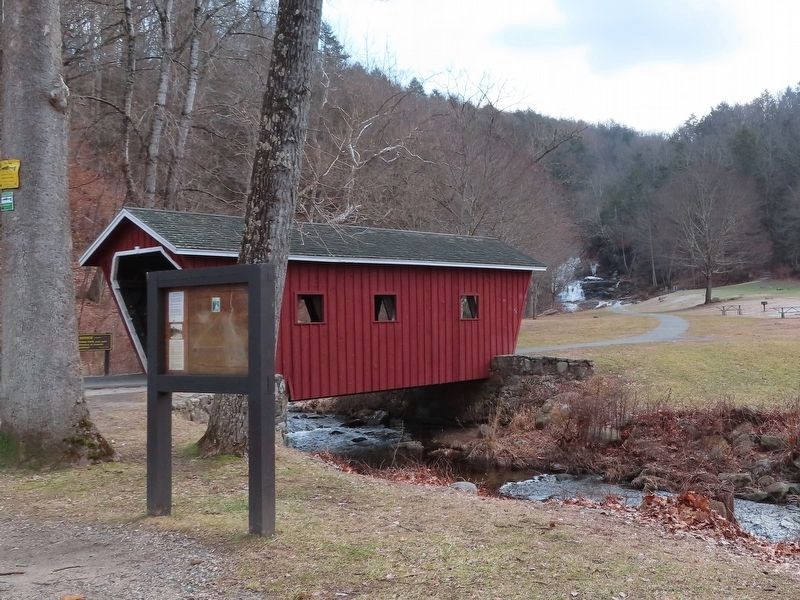
Kent Falls State Park
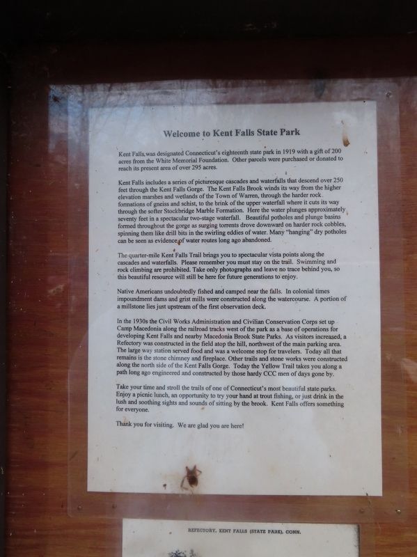
Kent Falls includes a series of picturesque cascades and waterfalls that descend over 250 feet through the Kent Falls Gorge. The Kent Falls Brook winds its way from the higher elevation marshes and wetlands of the Town of Warren, through the harder rock formations of gneiss and schist, to the brink of the upper waterfall where it cuts its way through the softer Stockbridge Marble Formation. Here the water plunges approximately seventy feet in a spectacular two-stage waterfall. Beautiful potholes and plunge basins formed throughout the gorge as surging torrents drove downward on harder rock cobbles, spinning them like drill bits in the swirling eddies of water. Many "hanging" dry potholes can be seen as evidence of water routes long ago abandoned.
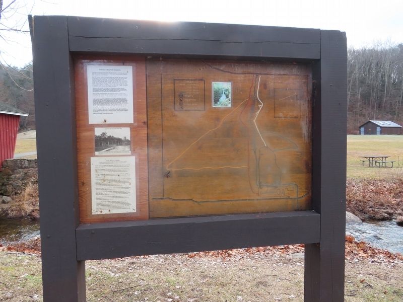
The quarter-mile Kent Falls Trail brings you to spectacular vista points along the cascades and waterfalls. Please remember you must stay on the trail. Swimming and rock climbing are prohibited. Take only photographs and leave no trace behind you, so this beautiful resource will still be here for future generations to enjoy.
Native Americans undoubtedly fished and camped near the falls. In colonial times impoundment dams and grist mills were constructed along the watercourse. A portion of a millstone lies just upstream of the first observation deck.
In the 1930s the Civil Works Administration and Civilian Conservation Corps set up Camp Macedonia along the railroad tracks west of the park as a base of operations for developing Kent Falls and nearby Macedonia Brook State Parks. As visitors increased, a Refectory was constructed in the field atop the hill, northwest of the main parking area. The large way station served food and was a welcome stop for travelers. Today all that remains is the stone chimney and fireplace. Other trails and stone works were constructed along the north side of the Kent Falls Gorge. Today the Yellow Trail takes you along a path long ago engineered and constructed by those hardy CCC men of days gone by.
Take your time and stroll the trails of one of Connecticut's most beautiful state parks. Enjoy a picnic lunch, an opportunity to try your hand at trout fishing, or just drink in the lush and soothing sights and sounds of sitting by the brook. Kent Falls offers something for everyone.
Topics. This historical marker is listed in this topic list: Parks & Recreational Areas. A significant historical year for this entry is 1919.
Location. 41° 46.598′ N, 73° 25.001′ W. Marker is in Kent, Connecticut, in Litchfield County. It is in Cornwall Bridge. Marker is on Kent Cornwall Road (U.S. 7) 0.4 miles north of Carter Road, on the right when traveling north. Touch for map. Marker is in this post office area: Kent CT 06757, United States of America. Touch for directions.
Other nearby markers. At least 8 other markers are within 5 miles of this marker, measured as the crow flies. Impressionism in Connecticut (here, next to this marker); Camp Macedonia Company 1191 (a few steps from this marker); Seven Hearths (approx. 3.2 miles away); Kent (approx. 3.2 miles away); Francis L. Sheane Memorial (approx. 3.9 miles away); Warren (approx. 4.2 miles away); Warren Veterans Memorial (approx. 4.3 miles away); Kent Soldiers' Monument (approx. 4.8 miles away). Touch for a list and map of all markers in Kent.
Also see . . .
1. Kent Falls State Park. Connecticut Office of Tourism website entry (Submitted on January 9, 2020, by Michael Herrick of Southbury, Connecticut.)
2. Kent Falls State Park. Connecticut Department of Energy and Environmental Protection (DEEP) website entry (Submitted on January 9, 2020, by Michael Herrick of Southbury, Connecticut.)
Credits. This page was last revised on December 11, 2023. It was originally submitted on January 9, 2020, by Michael Herrick of Southbury, Connecticut. This page has been viewed 327 times since then and 40 times this year. Photos: 1, 2, 3. submitted on January 9, 2020, by Michael Herrick of Southbury, Connecticut.


