Wakeman in Huron County, Ohio — The American Midwest (Great Lakes)
Wakeman Red Cap Field
Photographed by J. J. Prats, August 24, 2019
1. Wakeman Red Cap Field Marker
Inscription.
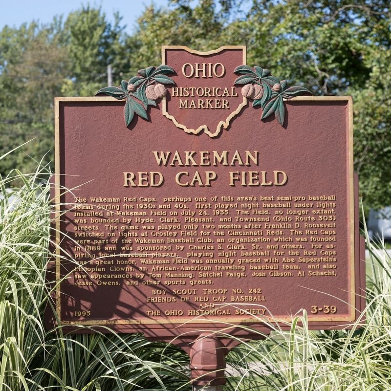
Wakeman Red Cap Field. . The Wakeman Red Caps, perhaps one of this area’s best semi-pro baseball teams during the 1930s and 40s, first played night baseball under lights installed at Wakeman Field on July 24, 1935. The Field, no longer extant, was bounded by Hyde, Clark, Pleasant and Townsend (Ohio Route 303) streets. The game was played only two months after Franklin D. Roosevelt switched on lights at Crosley Field for the Cincinnati Reds. The Red Caps were part of the Wakeman Baseball Club, an organization which was founded in 1889 and was sponsored by Charles S. Clark, Sr., and others. For aspiring local baseball players, playing night baseball for the Red Caps was a great honor. Wakeman Field was annually graced with Abe Sapersteins’s Ethiopian Clowns, an African-American traveling baseball team, and also saw appearances by Tom Manning, Satchel Paige, John Gisbon, Al Schacht, Jesse Owens, and other sports greats.
The Wakeman Red Caps, perhaps one of this area’s best semi-pro baseball teams during the 1930s and 40s, first played night baseball under lights installed at Wakeman Field on July 24, 1935. The Field, no longer extant, was bounded by Hyde, Clark, Pleasant and Townsend (Ohio Route 303) streets. The game was played only two months after Franklin D. Roosevelt switched on lights at Crosley Field for the Cincinnati Reds. The Red Caps were part of the Wakeman Baseball Club, an organization which was founded in 1889 and was sponsored by Charles S. Clark, Sr., and others. For aspiring local baseball players, playing night baseball for the Red Caps was a great honor. Wakeman Field was annually graced with Abe Sapersteins’s Ethiopian Clowns, an African-American traveling baseball team, and also saw appearances by Tom Manning, Satchel Paige, John Gisbon, Al Schacht, Jesse Owens, and other sports greats.
Erected 1995 by Boy Scout Troop No. 242, Friends of Red Cap Baseball, and The Ohio Historical Society. (Marker Number 3-39.)
Topics and series. This historical marker is listed in this topic list: Sports. In addition, it
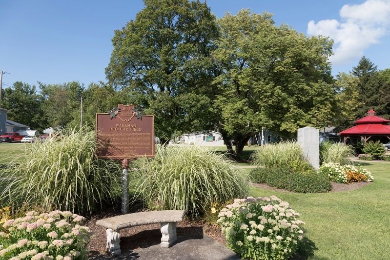
Location. 41° 15.288′ N, 82° 24.049′ W. Marker is in Wakeman, Ohio, in Huron County. It is at the intersection of West Main Street (U.S. 20) and Cooper Street, on the right when traveling west on West Main Street. It is in Wakeman Community Park. Touch for map. Marker is in this post office area: Wakeman OH 44889, United States of America. Touch for directions.
Regionally, this marker is in Ohio’s Western Reserve. It is also in the American Midwest and in the Corn Belt. Globally, it is in North America, the Western Hemisphere, the Western World, and the Anglosphere. Historically, it finds itself in what was once the Haudenosaunee (Iroquois) Confederacy, the territory of the Mississippian Culture, and the Northwest Territory.
Credits. This page was last revised on January 11, 2020. It was originally submitted on January 10, 2020, by J. J. Prats of Powell, Ohio. This page has been viewed 1,326 times since then and 96 times this year. Photos:1, 2. submitted on January 10, 2020, by J. J. Prats of Powell, Ohio.