Missoula in Missoula County, Montana — The American West (Mountains)
Missoula's First Flight
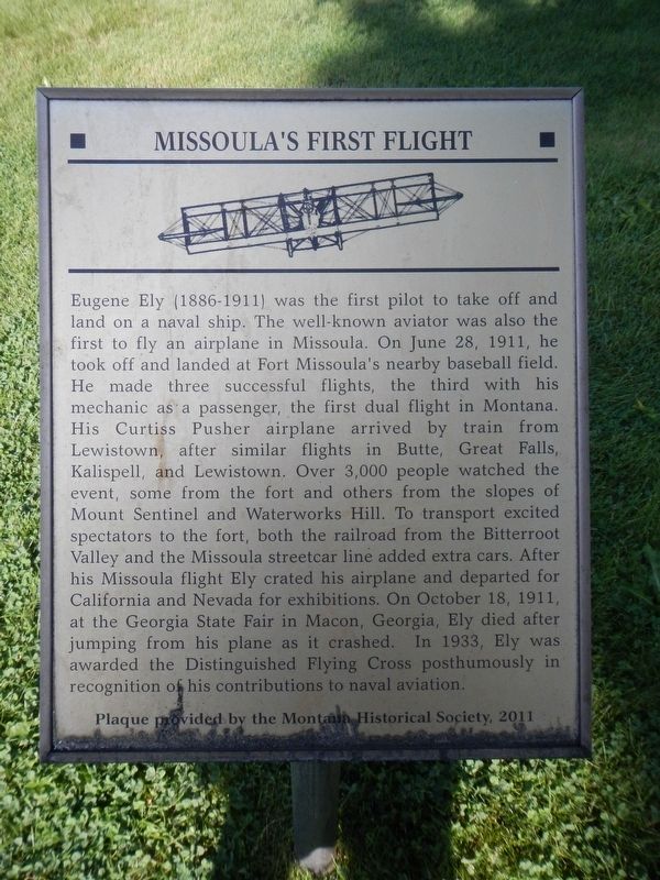
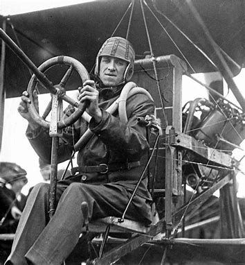
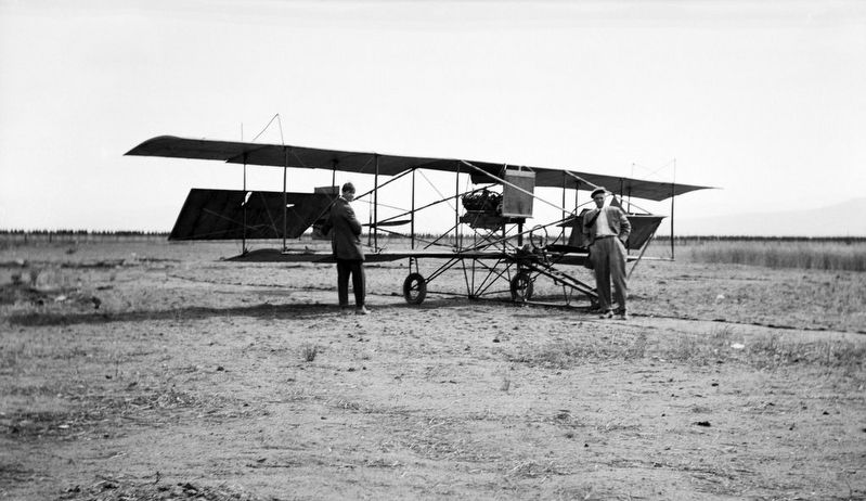
Eugene Ely (1886-1911) was the first pilot to take off and land on a naval ship. The well-known aviator was also the first to fly an airplane in Missoula. On June 28, 1911, he took off and landed at Fort Missoula's nearby baseball field. He made three successful flights, the third with his mechanic as a passenger, the first dual flight in Montana. His Curtiss Pusher airplane arrived by train from Lewistown, after similar flights in Butte, Great Falls, Kalispell, and Lewistown. Over 3,000 people watched the event, some from the fort and others from the slopes of Mount Sentinel and Waterworks Hill. To transport excited spectators to the fort, both the railroad from the Bitterroot Valley and the Missoula streetcar line added extra cars. After his Missoula flight, Ely crated his airplane and departed for California and Nevada for exhibitions. On October 18, 1911, at the Georgia State Fair in Macon, Georgia, Ely died after jumping from his plane as it crashed. In 1933, Ely was awarded the Distinguished Flying Cross posthumously in recognition of his contributions to naval aviation,
Erected 2011 by Montana Historical Society.
Topics and series. This historical marker is listed in this topic list: Air & Space. In addition, it is included in the Valor in Aerial Operations series list. A significant historical date for this entry is June 28, 1911.
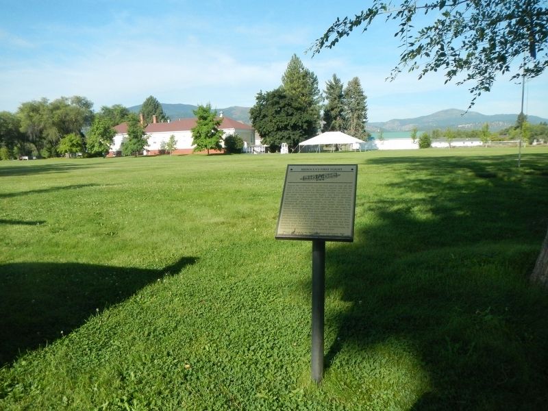
Location. 46° 50.537′ N, 114° 3.423′ W. Marker is in Missoula, Montana, in Missoula County. Marker is on H Road near Fort Missoula Road, on the left when traveling north. Touch for map. Marker is at or near this postal address: 26 H Road, Missoula MT 59804, United States of America. Touch for directions.
Other nearby markers. At least 8 other markers are within walking distance of this marker. Fort Missoula Officer's Row (a few steps from this marker); Veuve Hall (within shouting distance of this marker); Company Officers' Quarters (within shouting distance of this marker); Commanding Officer's Quarters (within shouting distance of this marker); Post Commander's Residence (within shouting distance of this marker); Fort Missoula, Montana (within shouting distance of this marker); a different marker also named Fort Missoula (within shouting distance of this marker); Fort Missoula 1910 Era Barrack Buildings (about 400 feet away, measured in a direct line). Touch for a list and map of all markers in Missoula.
More about this marker. This marker is located on the grounds of Fort Missoula.
Related marker. Click here for another marker that is related to this marker. Eugene Ely's first shipboard landing and second shipboard takeoff.
Also see . . . Eugen Burton Ely. National Aviation Hall of Fame website entry:
He came into real prominence when he attempted a thousand mile flight from Chicago to New York for a $25,000 prize, being the only one foolhardy enough to attempt the flight. He took off from Chicago and jauntily headed for New York. Ten minutes later Ely made his first forced landing. (Submitted on January 11, 2020, by Barry Swackhamer of Brentwood, California.)
Credits. This page was last revised on April 13, 2022. It was originally submitted on January 11, 2020, by Barry Swackhamer of Brentwood, California. This page has been viewed 184 times since then and 17 times this year. Photos: 1, 2, 3, 4. submitted on January 11, 2020, by Barry Swackhamer of Brentwood, California.


