
Brookland in Northeast Washington in Washington, District of Columbia — The American Northeast (Mid-Atlantic)
Stone Straw Building
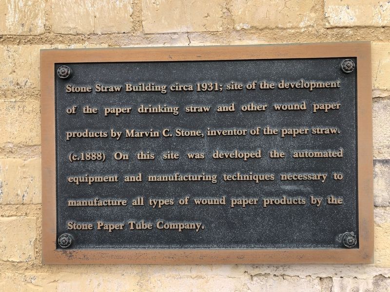
Topics. This historical marker is listed in this topic list: Industry & Commerce. A significant historical year for this entry is 1888.
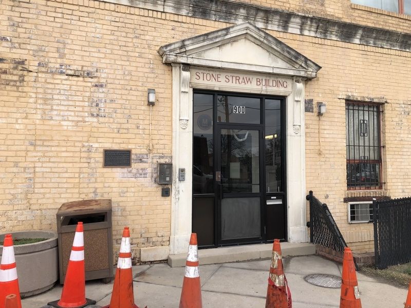
Location. 38° 55.539′ N, 76° 59.6′ W. Marker is in Northeast Washington in Washington, District of Columbia. It is in Brookland. It is at the intersection of Franklin Street Northeast and Reed Street Northeast, on the right when traveling west on Franklin Street Northeast. Touch for map. Marker is at or near this postal address: 900 Franklin Street Northeast, Washington DC 20017, United States of America. Touch for directions.

Regionally, this marker is in the Washington Metropolitan Area. It is also in the American Northeast, in the Upper South, in the Mid-Atlantic, in the Tidewater, and in the Chesapeake Bay Region. Globally, it is in North
this page online
Other nearby markers. At least 8 other markers are within walking distance of this marker: Crosby S. Noyes Elementary School (about 400 feet away, measured in a direct line); Iglesia La Luz del Mundo (approx. ¼ mile away); Former Site, Columbian Harmony Cemetery (approx. 0.4 miles away); Sterling A. Brown Residence (approx. 0.4 miles away); The Poet's House (approx. 0.4 miles away); Former Site Columbian Harmony Cemetery (approx. 0.4 miles away); Christ, the Light of the World (approx. 0.4 miles away); The Jackson H. Gerhart House (approx. half a mile away). Touch for a list and map of all markers in Northeast Washington.
Credits. This page was last revised on January 30, 2023. It was originally submitted on January 11, 2020, by Devry Becker Jones of Washington, District of Columbia. This page has been viewed 2,140 times since then and 179 times this year. Photos: 1, 2. submitted on January 11, 2020, by Devry Becker Jones of Washington, District of Columbia.
