New Woodstock in Madison County, New York — The American Northeast (Mid-Atlantic)
Baptist Church
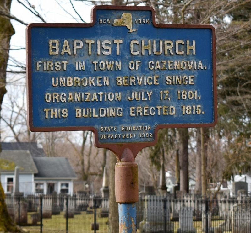
Photographed by Mollie, January 11, 2020
1. Baptist Church Marker
Unbroken service since
organization July 17, 1801.
This building erected 1815.
Erected 1932 by State Education Department.
Topics. This historical marker is listed in this topic list: Religion & Religious Structures.
Location. 42° 50.895′ N, 75° 51.515′ W. Marker is in New Woodstock, New York, in Madison County. It is at the intersection of Main Street (New York State Route 80) and Pearl Street, on the right when traveling west on Main Street. This marker is located in front of the Federated Church of New Woodstock, next to the New Woodstock Cemetery. Touch for map. Marker is at or near this postal address: 2065 Main Street, New Woodstock NY 13122, United States of America. Touch for directions.

Regionally, this marker is in Upstate New York, specifically in Central New York, and in the Syracuse Metropolitan Area. It is also in the American Northeast and in the Mid-Atlantic. Globally, it is in North America, the Western Hemisphere, the Western World, and the Anglosphere. Historically, it finds itself in what was once the
this page online
Other nearby markers. At least 8 other markers are within 3 miles of this marker, measured as the crow flies: New Woodstock War Memorial (within shouting distance of this marker); New Woodstock Regional Historical Society (about 400 feet away); Smith Tavern (about 600 feet away); Church Building (about 800 feet away); New Woodstock Heritage Park (approx. 0.2 miles away); a different marker also named New Woodstock Heritage Park (approx. 0.2 miles away); Belmont School (approx. 2.1 miles away); Site of Belmont Powder Mill (approx. 2.3 miles away). Touch for a list and map of all markers in New Woodstock.
Another marker is no longer nearby. Lehigh Valley Railroad (was about 300 feet away, measured in a direct line but has been confirmed missing).
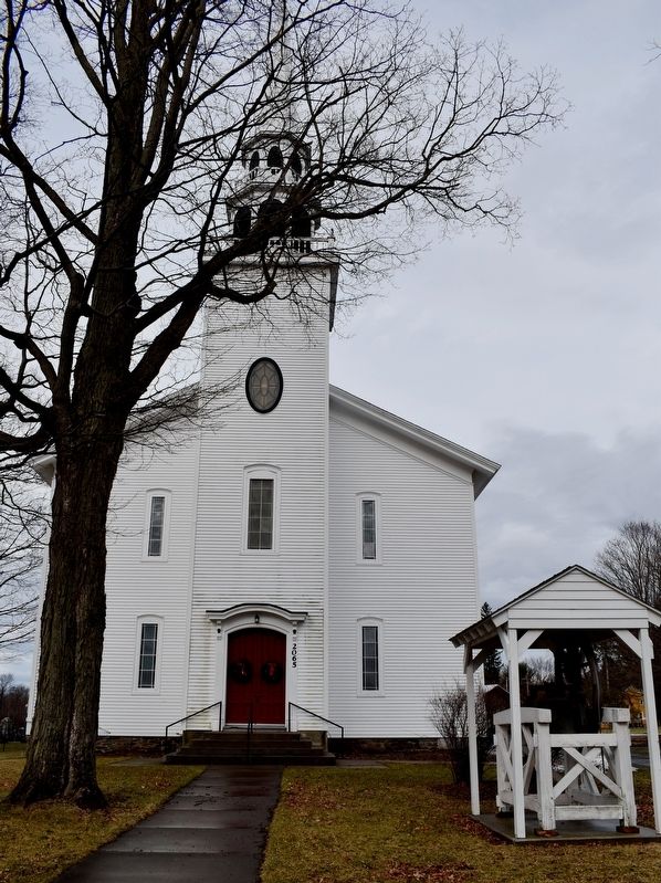
Photographed by Mollie, January 11, 2020
2. Federated Church of New Woodstock
Credits. This page was last revised on January 13, 2020. It was originally submitted on January 12, 2020, by Mollie of Syracuse, New York. This page has been viewed 390 times since then and 31 times this year. Photos: 1, 2. submitted on January 12, 2020, by Mollie of Syracuse, New York. • Michael Herrick was the editor who published this page.
