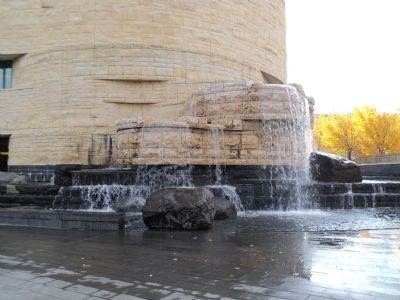
The National Mall in Southwest Washington in Washington, District of Columbia — The American Northeast (Mid-Atlantic)
Wingapo
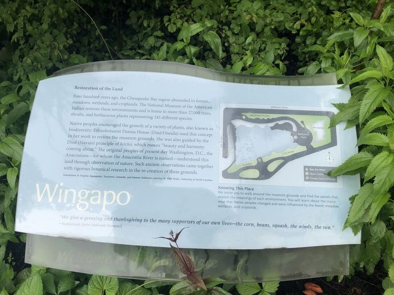
Restoration of the Land
Four hundred years ago, the Chesapeake Bay region abounded in forests, meadows, wetlands, and croplands. The National Museum of the American Indian restores these environments and is home to more than 27,000 trees, shrubs, and herbaceous plants representing 145 different species.
Native peoples encouraged the growth of a variety of plants, also known as biodiversity. Ethnobotanist Donna House (Diné/Oneida) used this concept in her work to restore the museum grounds. She was also guided by the Diné (Navajo) principle of hózhó, which means “beauty and harmony coming about.” The original peoples of present-day Washington, D.C., the Anacostans – for whom the Anacostia River is named – understood this land through observation of nature. Such ancient observations came together with rigorous botanical research in the re-creation of these grounds.
“We give a greeting and thanksgiving to the many supporters of our own lives – the corn, beans, squash, the winds, the sun.”
- Sotsisowah [John Mohawk (Seneca)]
Topics. This historical marker is listed in this topic list: Native Americans.
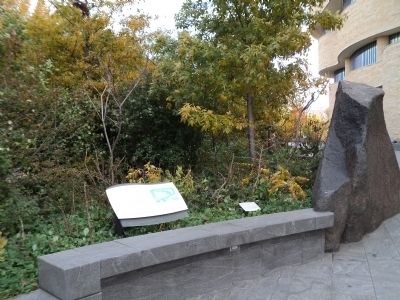
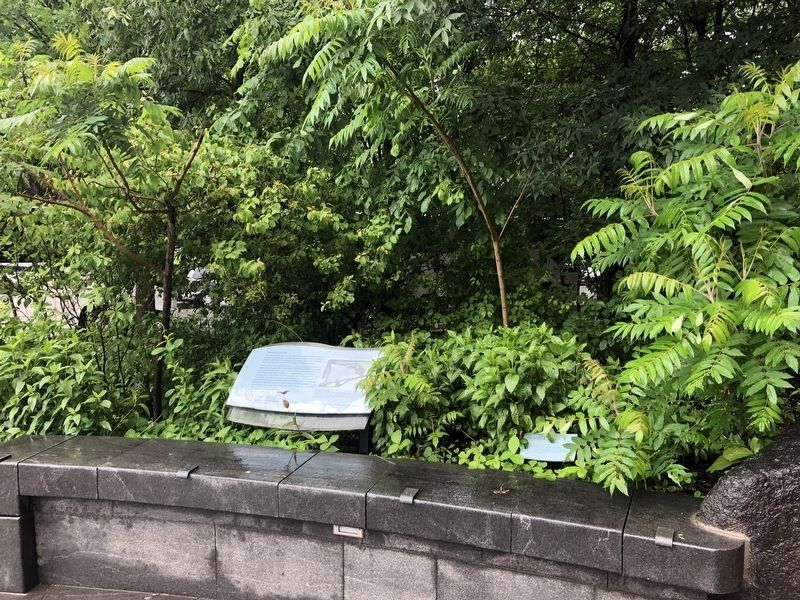
Location. Marker has been permanently removed. It was located near 38° 53.319′ N, 77° 1.025′ W. Marker was in Southwest Washington in Washington, District of Columbia. It was in The National Mall. Marker was at the intersection of Jefferson Drive Southwest and 4th Street Southwest, on the right when traveling east on Jefferson Drive Southwest. Marker is located in front of the National Museum of the American Indian. Touch for map. Marker was in this post office area: Washington DC 20560, United States of America.
We have been informed that this sign or monument is no longer there and will not be replaced. This page is an archival view of what was.
Other nearby markers. At least 8 other markers are within walking distance of this location. Rick Bartow (here, next to this marker); Cardinal Direction Marker: West (within shouting distance of this marker); Cardinal Direction Marker: North (within shouting distance of this marker); George Rivera (about 300 feet away, measured in a direct line); Traditional Croplands (about 300 feet away); Eastern Meadow (about 300 feet away); Nora Naranjo-Morse (about 300 feet away); a different marker also named Nora Naranjo-Morse (about 300 feet away). Touch for a list and map of all markers in Southwest Washington.
More about this marker.
[Background information on the plaque:]
Translations in Virginia Algonquian, Tuscarora, Catawba, and Munsee Delaware
courtesy Dr. Blair Rudes, University of North Carolina
[Sidebar:]
Knowing This Place
We invite you to walk around the museum grounds and find panels that explain the meanings of each environment. You will learn about the many ways that Native peoples changed and were influenced by the forest, meadow, wetlands, and croplands.
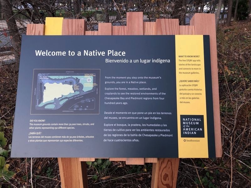
Photographed By Devry Becker Jones (CC0), December 3, 2020
6. Welcome to a Native Place
The marker has been replaced with a new marker that features no historical information.
Credits. This page was last revised on January 30, 2023. It was originally submitted on November 18, 2011, by Bill Coughlin of Woodland Park, New Jersey. This page has been viewed 535 times since then and 23 times this year. Last updated on January 12, 2020, by Bruce Guthrie of Silver Spring, Maryland. Photos: 1. submitted on May 13, 2019, by Devry Becker Jones of Washington, District of Columbia. 2, 3. submitted on November 18, 2011, by Bill Coughlin of Woodland Park, New Jersey. 4. submitted on May 13, 2019, by Devry Becker Jones of Washington, District of Columbia. 5. submitted on November 18, 2011, by Bill Coughlin of Woodland Park, New Jersey. 6. submitted on December 3, 2020, by Devry Becker Jones of Washington, District of Columbia. • Devry Becker Jones was the editor who published this page.
