
Near Syracuse in Onondaga County, New York — The American Northeast (Mid-Atlantic)
The Resort Era
Photographed by Steve Stoessel, January 12, 2020
1. The Resort Era Marker
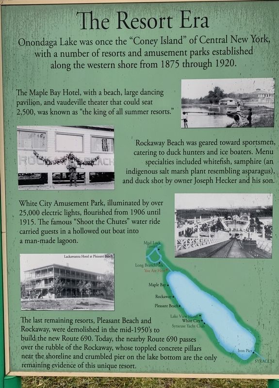
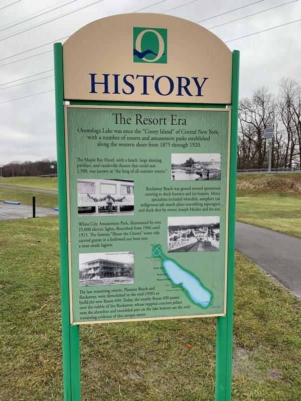
Onondaga Lake was once the "Coney Island” of Central New York, with a number of resorts and amusement parks established along the western shore from 1875 through 1920.
The Maple Bay Hotel, with a beach, large dancing pavilion, and vaudeville theater that could seat 2,500, was known as "the king of all summer resorts."
Rockaway Beach was geared toward sportsmen, catering to duck hunters and ice boaters. Menu specialties included whitefish, samphire (an indigenous salt marsh plant resembling asparagus), and duck shot by owner Joseph Hecker and his son.
White City Amusement Park, illuminated by over 25,000 electric lights, flourished from 1906 until 1915. The famous "Shoot the Chutes” water ride carried guests in a hollowed out boat into a man-made lagoon.
The last remaining resorts, Pleasant Beach and Rockaway, were demolished in the mid-1950's to build the new Route 690. Today, the nearby Route 690 passes over the rubble of the Rockaway, whose toppled concrete pillars near the shoreline and crumbled pier on the lake bottom are the only remaining evidence of this unique resort.
Topics. This
this page online
Location. 43° 6.99′ N, 76° 14.689′ W. Marker is near Syracuse, New York, in Onondaga County. It is on Long Branch Road 0.8 miles east of John Glenn Blvd., on the right when traveling east. Marker is near the end of the parking lot on the foot trail and is several yards away from the road. Touch for map. Marker is at or near this postal address: 267 W Shr Trl, Syracuse NY 13209, United States of America. Touch for directions.

Regionally, this marker is in Upstate New York and specifically in Central New York. It is also in the American Northeast and in the Mid-Atlantic. Globally, it is in North America, on the Great Lakes, in the Western Hemisphere, in the Western World, and in the Anglosphere. Historically, it finds itself in what was once the Haudenosaunee (Iroquois) Confederacy, New Netherland, and one of the original Thirteen Colonies.
Other nearby markers. At least 8 other markers are within 3 miles of this marker, measured as the crow flies: Onondaga Lake Milestones (a few steps from this marker); Lakeland World War II Monument
Photographed by Steve Stoessel
2. The Resort Era Marker
Photographed by Steve Stoessel
3. View from the Marker
Credits. This page was last revised on January 21, 2020. It was originally submitted on January 12, 2020, by Steve Stoessel of Niskayuna, New York. This page has been viewed 979 times since then and 72 times this year. Photos: 1. submitted on January 12, 2020, by Steve Stoessel of Niskayuna, New York. 2. submitted on January 13, 2020, by Steve Stoessel of Niskayuna, New York. 3. submitted on January 14, 2020, by Steve Stoessel of Niskayuna, New York. • Michael Herrick was the editor who published this page.
