Missoula in Missoula County, Montana — The American West (Mountains)
Studebaker Building
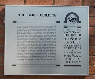
Photographed by Barry Swackhamer, August 21, 2019
1. Studebaker Building Marker
this page online
Erected by Montana National Register Sign Program.
Topics and series. This historical marker is listed in these topic lists: Architecture • Industry & Commerce • Roads & Vehicles. In addition, it is included in the Montana National Register Sign Program series list.
Location. 46° 52.312′ N, 113° 59.793′ W. Marker is in Missoula, Montana, in Missoula County. It is on West Main Street near Ryman Street, on the right when traveling west. Touch for map. Marker is at or near this postal address: 216 West Main Street, Missoula MT 59802, United States of America. Touch for directions.

Regionally, this marker is in Western Montana and in Glacier Country. It is also in the American Mountain
Photographed by Barry Swackhamer, August 21, 2019
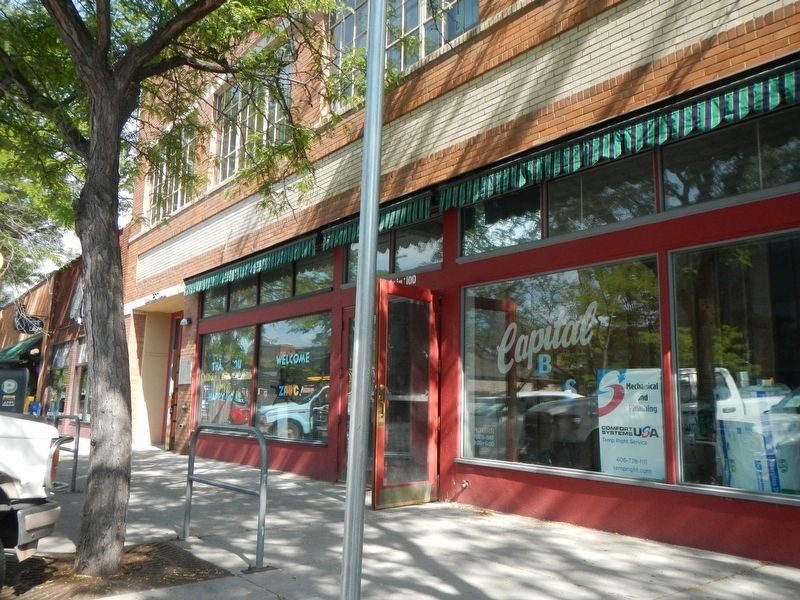
2. Studebaker Building Marker
The marker is at the left end of the building, between the tree and pole.
Other nearby markers. At least 8 other markers are within walking distance of this marker: Gleim Building II (about 300 feet away, measured in a direct line); The Palace Hotel (about 300 feet away); Gleim Building (about 400 feet away); Missoula County War Memorial (about 500 feet away); Missoula County Courthouse (about 500 feet away); Lenox Flats (about 500 feet away); Dixon-Duncan Block (about 600 feet away); Headquarters Building and Daily Company Annex (about 600 feet away). Touch for a list and map of all markers in Missoula.
Credits. This page was last revised on December 19, 2020. It was originally submitted on January 14, 2020, by Barry Swackhamer of Brentwood, California. This page has been viewed 379 times since then and 31 times this year. Photos: 1, 2. submitted on January 14, 2020, by Barry Swackhamer of Brentwood, California.
