Grayson in Carter County, Kentucky — The American South (East South Central)
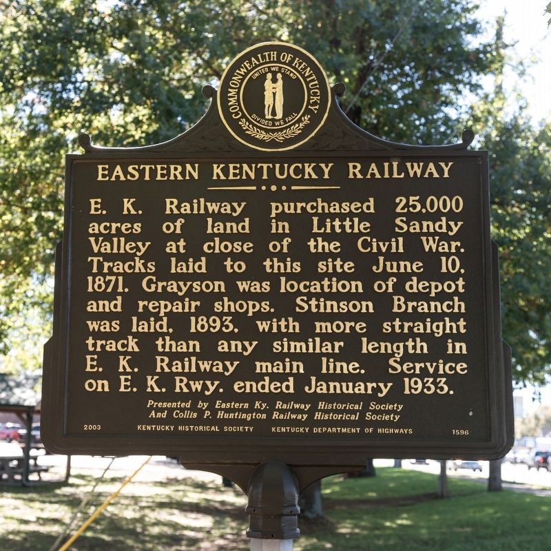
Eastern Kentucky Railway
Erected 2003 by Kentucky Historical Society and Kentucky Department of Transportation. Presented by Eastern Kentucky Railway Historical Society and Collis P. Huntington Railway Historical Society. (Marker Number 1596.)
Topics and series. This historical marker is listed in this topic list: Railroads & Streetcars. In addition, it is included in the Kentucky Historical Society series list. A significant historical month for this entry is January 1933.
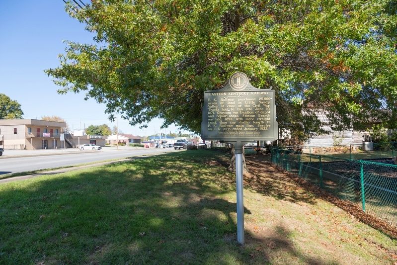
Location. 38° 19.983′ N, 82° 56.708′ W. Marker is in Grayson, Kentucky, in Carter County. Marker is on Carol Malone Boulevard (Kentucky Route 7) just north of East 2nd Street, on the right when traveling north. It is in the small park at the old depot. Touch for map. Marker is in this post office area: Grayson KY 41143, United States of America. Touch for directions.
Other nearby markers. At least 8 other markers are within 6 miles of this marker, measured as the crow flies. A Masterful Retreat (approx. 0.2 miles away); County Named, 1838 (approx. 0.4 miles away); We Honor William Jason Fields (approx. 0.4 miles away); Civil War Reunion (approx. 0.4 miles away); Mount Savage Furnace (approx. 0.8 miles away); Pactolus Furnace / Iron Made in Kentucky (approx. 2.2 miles away); a different marker also named Eastern Kentucky Railway (approx. 3.8 miles away); a different marker also named A Masterful Retreat (approx. 5.8 miles away). Touch for a list and map of all markers in Grayson.
Related markers. Click here for a list of markers that are related to this marker. It is all of the Eastern Kentucky Railway Historical Markers
Also see . . . Eastern Kentucky Railway Historical Society Website. Includes photos. Excerpt:
Grayson was at one time known as the Crossroads, but was renamed Grayson in 1838 after Colonel William Grayson, who owned a considerable amount of land in the area. Thirty-four years later, as the Indian Wars continued in the west, the Eastern Kentucky Railway added 10.37 miles of track to Grayson. Stops were added at Hopewell and two miles north of Grayson at Pactolus. Land values climbed, coal mines opened, mills were built, and investment possibilities were in all directions. The general offices of the Eastern Kentucky Railway remained at Riverton, but the shops were moved from Hunnewell to Grayson and enlarged. The shops for the E.K.R.Y. were located right downtown.(Submitted on January 14, 2020.)
Credits. This page was last revised on January 10, 2021. It was originally submitted on January 14, 2020, by J. J. Prats of Powell, Ohio. This page has been viewed 257 times since then and 22 times this year. Photos: 1, 2. submitted on January 14, 2020, by J. J. Prats of Powell, Ohio.

