Bread Loaf in Middlebury in Addison County, Vermont — The American Northeast (New England)
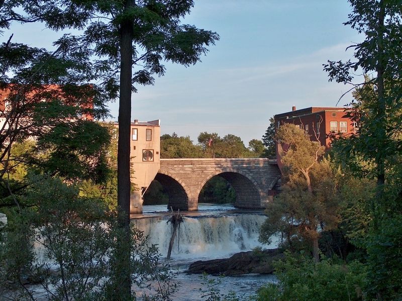
Marble Works Memorial Bridge
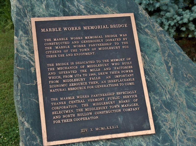
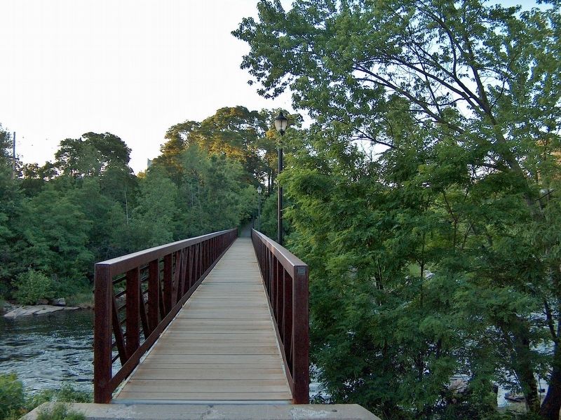
The Marble Works Memorial Bridge was constructed and generously donated by the Marble Works Partnership to the citizens of the town of Middlebury for their use and enjoyment.
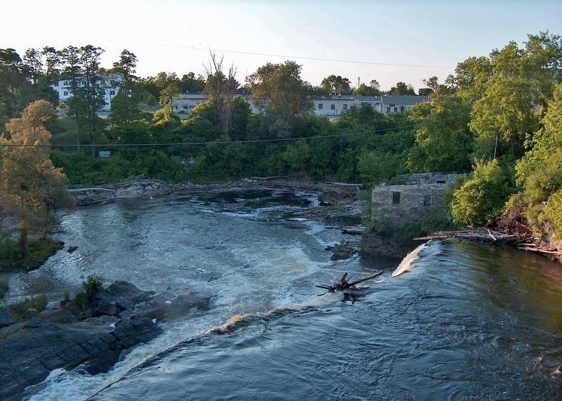
The bridge is dedicated to the memory of the mechanics of Middlebury who built and operated the mills and factories which, from 1774 to 1966, drew their power from Middlebury Falls: an important economic resource then, an irreplaceable natural resource for generations to come.
The Marble Works Partnership especially thanks Central Vermont Public Service Corporation, the Middlebury Board of Selectmen, the Middlebury Town Manager, and North Hollow Construction Company for their cooperation.
Topics. This historical marker is listed in these topic lists: Bridges & Viaducts • Colonial Era • Industry & Commerce. A significant historical year for this entry is 1774.
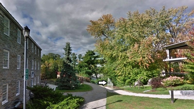
Location. 44° 0.8′ N, 73° 10.188′ W. Marker is in Middlebury, Vermont, in Addison County. It is in Bread Loaf. Marker can be reached from Mill Street just west of Park Street, on the right when traveling west. Marker is located beside the walkway, on the south side of Otter Creek, at the south end of the subject bridge. Touch for map. Marker is at or near this postal address: 3 Mill Street, Middlebury VT 05753, United States of America. Touch for directions.
Other nearby markers. At least 8 other markers are within walking distance of this marker. John Deere (within shouting distance of this marker); The Battell Block (about 400 feet away, measured in a direct line); Town & Gown (about 500 feet away); Ancient Paths (about 500 feet away); Middlebury Civil War Memorial (approx. 0.2 miles away); Emma Willard Memorial (approx. 0.2 miles away); Court Square (approx. 0.2 miles away); Samuel Miller, Esq. (approx. 0.2 miles away). Touch for a list and map of all markers in Middlebury.
Also see . . . Middlebury, Vermont. Wikipedia entry:
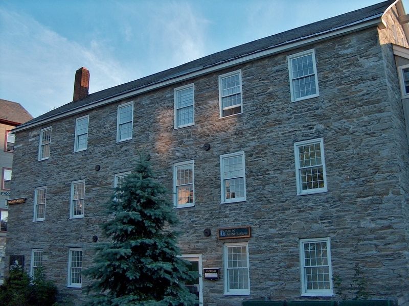
Landowners vied for the lucrative honor of having the village center grow on their properties. A survey dispute with Salisbury led to the forfeiture of Gamaliel Painter's farm to that town, and his transition from farming to developing Middlebury Village near his and Abisha Washburn's mill, together with other mills that surrounded the Otter Creek falls. Industries would include a cotton factory, sawmill, gristmill, pail factory, paper mill, woolen factory, iron foundry, and marble quarry. (Submitted on January 15, 2020, by Cosmos Mariner of Cape Canaveral, Florida.)
Credits. This page was last revised on February 16, 2023. It was originally submitted on January 14, 2020, by Cosmos Mariner of Cape Canaveral, Florida. This page has been viewed 313 times since then and 22 times this year. Photos: 1, 2, 3, 4, 5, 6. submitted on January 14, 2020, by Cosmos Mariner of Cape Canaveral, Florida.
