Near West Liberty in Logan County, Ohio — The American Midwest (Great Lakes)
Industry on the Macacheek
They Lived Long on the Land
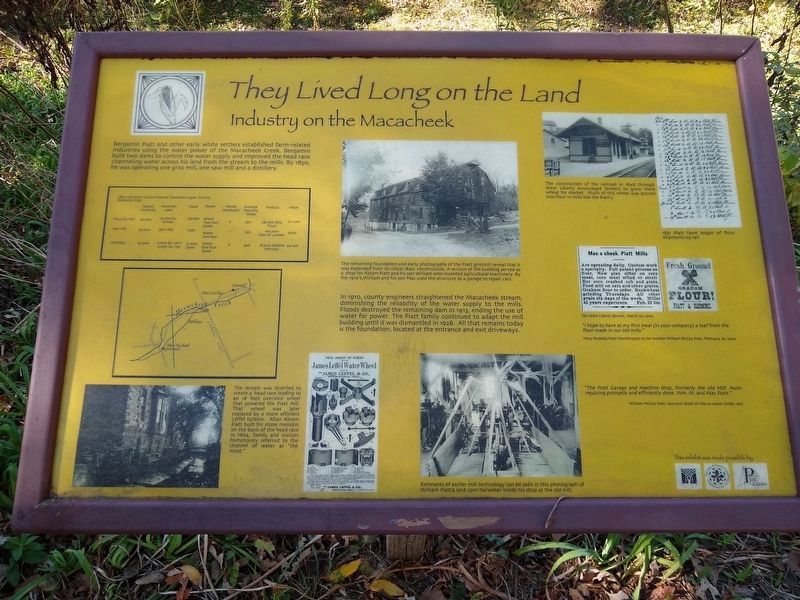
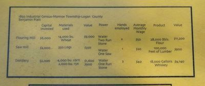
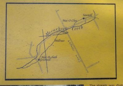
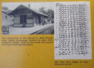
Benjamin Piatt and other early white settlers established farm-related industries using the water power of the Macacheek Creek. Benjamin built two dams to control the water supply and improved the head race channeling water across his land from the stream to the mills. By 1850, he was operating one grist mill, one saw mill and a distillery.
In 1910, county engineers straightened the Macacheek stream, diminishing the reliability of the water supply to the mills. Floods destroyed the remaining dam in 1913, ending the use of water for power. The Piatt family continued to adapt the mill building until it was dismantled in 1928. All that remains today is the foundation, located at the entrance and exit driveways.
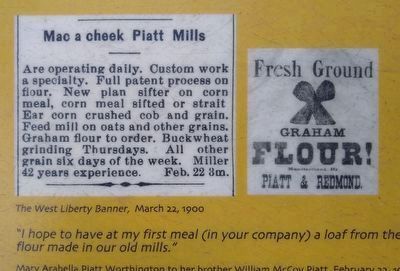
"I hope to have at my first meal (in your company) a loaf from the flour made in our mills."
Mary Arabella Piatt Worthington to her brother William McCoy Piatt, February 22, 1909
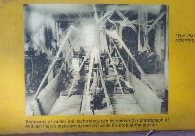
"The Piatt Garage and machine shop, formerly the old Mill. Auto repairing promptly and efficiently done. Wm. M. and Mac Piatt."
William McCoy Piatt, Souvenir Book of Mac-a-cheek Castle, 1917
Erected by Ohio Humanities Council, The Mac-A-Cheek Foundation for the Humanities, Piatt Castles.
Topics. This historical marker is listed in these topic lists: Industry & Commerce • Settlements & Settlers. A significant historical date for this entry is February 22, 1909.
Location. 40° 15.064′ N, 83° 43.621′ W. Marker is near West Liberty, Ohio, in Logan County. Marker can be reached from Township Road 47, 0.1 miles south of Ohio Route 245. Marker is behind the Mac-A-Cheek Castle, which is about 700 feet from Township Road 47. Touch for map. Marker is in this post office area: West Liberty OH 43357, United States of America. Touch for directions.
Other nearby markers. At least 8 other markers are within walking distance of this marker. Over a Century of Tours (a few steps from this marker); A Castle as a Farmhouse (a few steps from this marker); From Generation to Generation (a few steps from this marker); Let's Play (within shouting distance of this marker); Who's in the Dog House? (within shouting distance of this marker); Storing the Crops, Livestock and Machinery (within shouting distance of this marker); The Barn at Mac-A-Cheek Castle (within shouting distance of this marker); The Broad and Fertile Acres (within shouting distance of this marker). Touch for a list and map of all markers in West Liberty.
October 12, 2019
4. Industry on the Macacheek Marker — lower left image
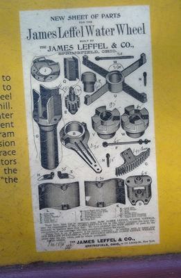
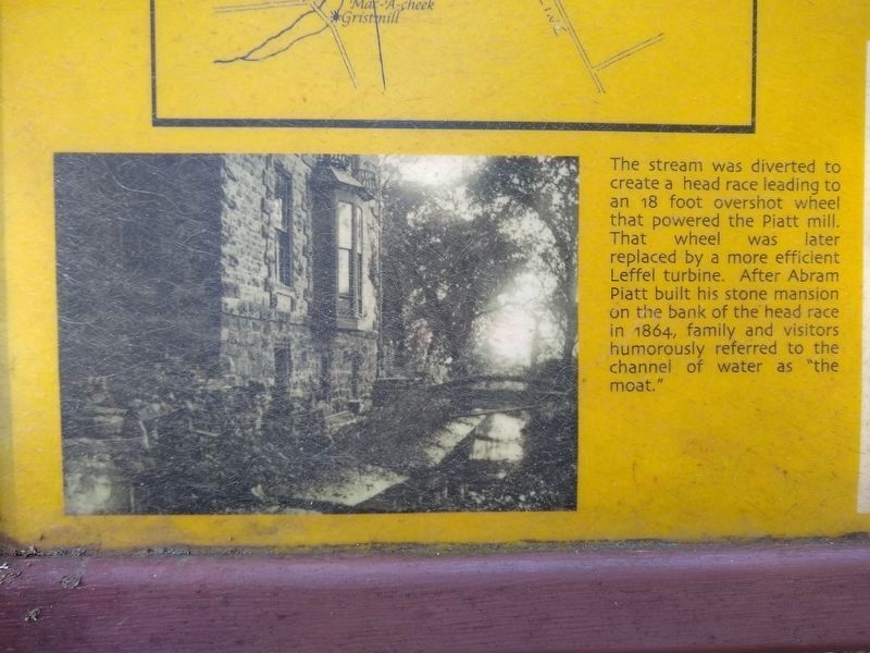
The stream was diverted to create a head race leading to an 18 foot overshot wheel that powered the Piatt mill. That wheel was later replaced by a more efficient Leffel turbine. After Abram Piatt built his stone mansion on the bank of the head race in 1864, family and visitors humorously referred to the channel of water as "the moat."
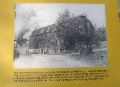
5. Industry on the Macacheek Marker — upper middle image
The remaining foundation and early photographs of the Piatt gristmill reveal that it was expanded from its initial 1840 construction. A section of the building served as a shop for Abram Piatt and his son William who invented agricultural machinery. By the 1910's, William and his son Mac used the structure as a garage to repair cars.
Credits. This page was last revised on January 23, 2020. It was originally submitted on January 17, 2020, by Joel Seewald of Madison Heights, Michigan. This page has been viewed 188 times since then and 16 times this year. Photos: 1, 2, 3, 4, 5, 6, 7, 8, 9. submitted on January 17, 2020, by Joel Seewald of Madison Heights, Michigan.
Editor’s want-list for this marker. Far view of the marker • Can you help?
