Santa Fe in Galveston County, Texas — The American South (West South Central)
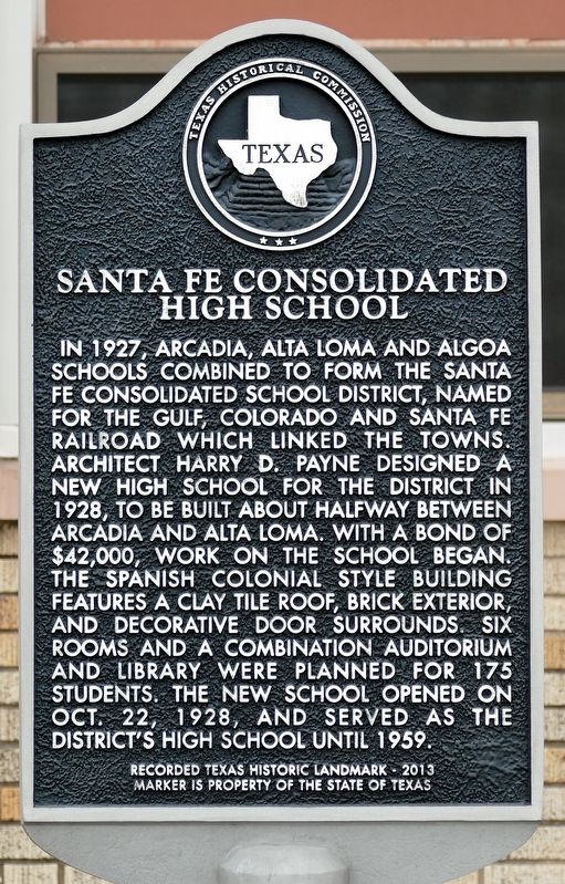
Santa Fe Consolidated High School
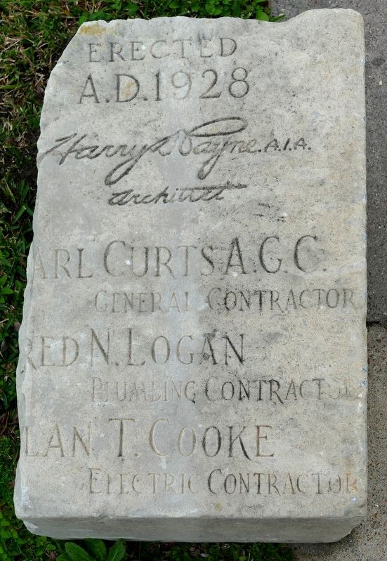
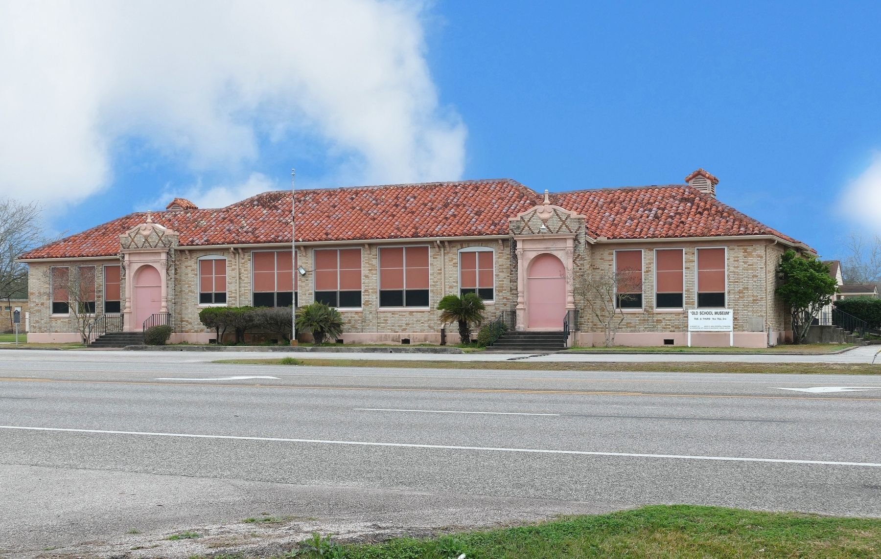
In 1927, Arcadia, Alta Loma and Algoa schools combined to form the Santa Fe Consolidated school district, named for the Gulf, Colorado and Santa Fe railroad which linked the towns. Architect Harry D. Payne designed a new high school for the district in 1928, to be built about halfway between Arcadia and Alta Loma. With a bond of $42,000, work on the school began. The Spanish Colonial style building features a clay tile roof, brick exterior, and decorative door surrounds. Six rooms and a combination auditorium and library were planned for 175 students. The new school opened on Oct. 22, 1928, and served as the district’s high school until 1959.
Recorded Texas Historic Landmark - 2013
Marker is property of the State of Texas
Erected 2013 by Texas Historical Commission. (Marker Number 17644.)
Topics. This historical marker is listed in these topic lists: Architecture • Education • Man-Made Features. A significant historical year for this entry is 1928.
Location. 29° 22.7′ N, 95° 6.317′ W. Marker is in Santa Fe, Texas, in Galveston County. Marker is on Texas Highway 6, 0.1 miles Warpath Avenue, on the right when traveling west. Touch for map. Marker is at or near this postal address: 13304 Texas Highway 6, Santa Fe TX 77510, United States of America. Touch for directions.
Other nearby markers. At least 8 other markers are within 3 miles of this marker, measured as the crow flies. Dairy Industry in the Santa Fe Area (approx. 0.7 miles away); Arcadia Christian Church (approx. 0.8 miles away); Runge Park (approx. one mile away); Alta Loma (approx. 1˝ miles away); Original Site of First Baptist Church of Alta Loma (approx. 1.6 miles away); Miller-Brautigam Home (approx. 1.7 miles away); Alta Loma Cemetery (approx. 2.1 miles away); Hitchcock Depot (approx. 2.4 miles away). Touch for a list and map of all markers in Santa Fe.
Credits. This page was last revised on January 18, 2020. It was originally submitted on January 17, 2020, by Jim Evans of Houston, Texas. This page has been viewed 286 times since then and 22 times this year. Photos: 1, 2, 3, 4. submitted on January 17, 2020, by Jim Evans of Houston, Texas. • J. Makali Bruton was the editor who published this page.


