Historic Businesses 11th to 12th Street, South
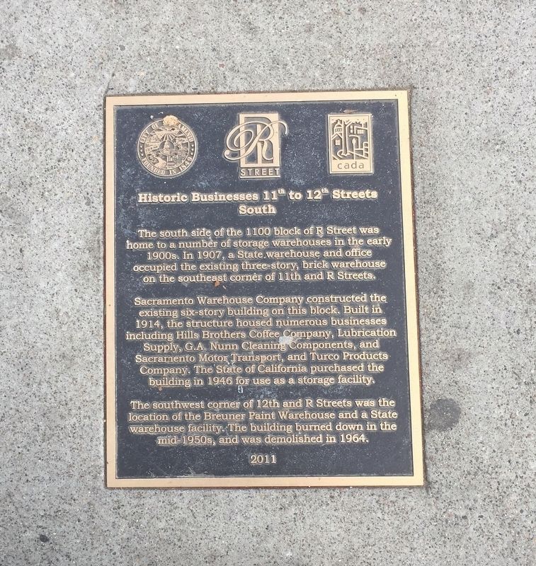
Sacramento Warehouse Company constructed the existing six-story building on this block. Built in 1914, the structure housed numerous businesses including Hills Brothers Coffee Company, Lubrication Supply, G.A. Nunn Cleaning Components, and Sacramento Motor Transport, and Turco Products Company. The State of California purchased the building in 1946 for use as a storage facility.
The southwest corner of 12th and R Streets was the
location of the Breuner Paint Warehouse and a State
warehouse facility. The building burned down in the
mid-1950s, and was demolished in 1964.
Erected 2011 by City of Sacramento, Capitol Area Redevelopment Authority.
Topics. This historical marker is listed in this topic list: Industry & Commerce.
Location. 38° 34.246′ N, 121° 29.687′ W. Marker is in Sacramento, California, in Sacramento
this page online

Regionally, this marker is in the Sacramento Valley and specifically in the Central Valley. It is also on the American Pacific Coast. Globally, it is in North America, on the Ring of Fire, on the Pacific Rim, in the Western Hemisphere, in the Western World, and in the Anglosphere. Historically, it finds itself in what was once New Spain and also Mexico’s Alta California.
Other nearby markers. At least 8 other markers are within walking distance of this marker: Western Pacific Railroad (a few steps from this marker); Theodore Judah (about 300 feet away, measured in a direct line); St. Elizabeth Portuguese National Church (about 300 feet away); City's First Southern Flood Levee (about 300 feet away); Historic Businesses 12th to 13th Street, North (about 400 feet away); Historic Businesses 10th to 11th Streets, North (about 400 feet away); Historic Businesses 12th to 13th Streets, South
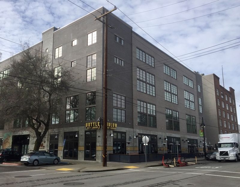
More about this marker. The marker is embedded in the sidewalk on the south side of R Street, just a few steps west of 12th Street.
Credits. This page was last revised on February 7, 2023. It was originally submitted on January 19, 2020, by Andrew Ruppenstein of Lamorinda, California. This page has been viewed 386 times since then and 33 times this year. Photos: 1, 2. submitted on January 19, 2020, by Andrew Ruppenstein of Lamorinda, California.
