Poughkeepsie in Dutchess County, New York — The American Northeast (Mid-Atlantic)
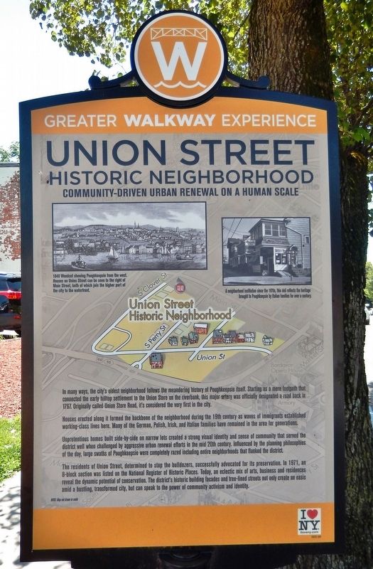
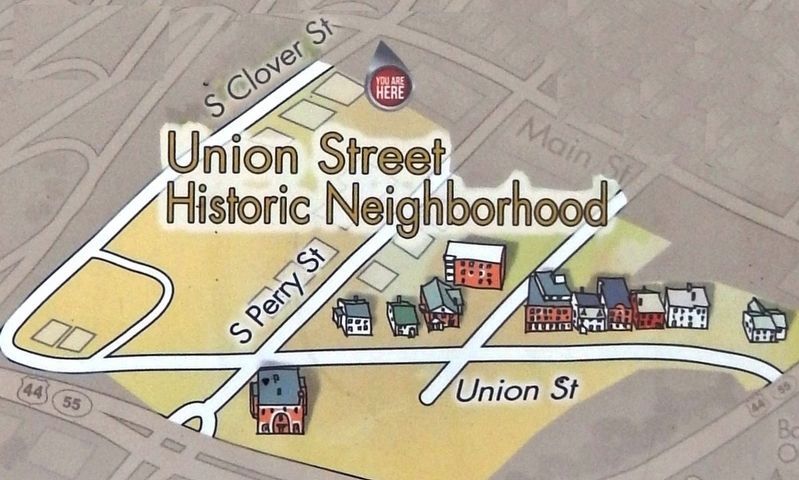
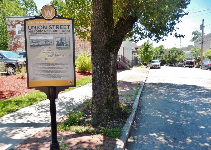
Union Street Historic Neighborhood
Community-driven Urban Renewal on a Human Scale
— Greater Walkway Experience —
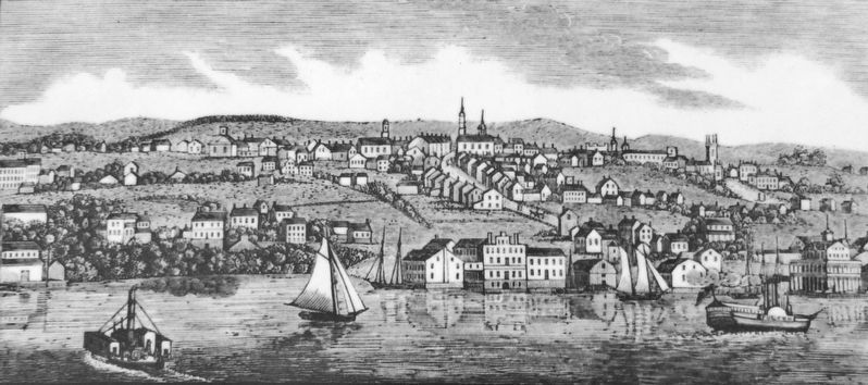
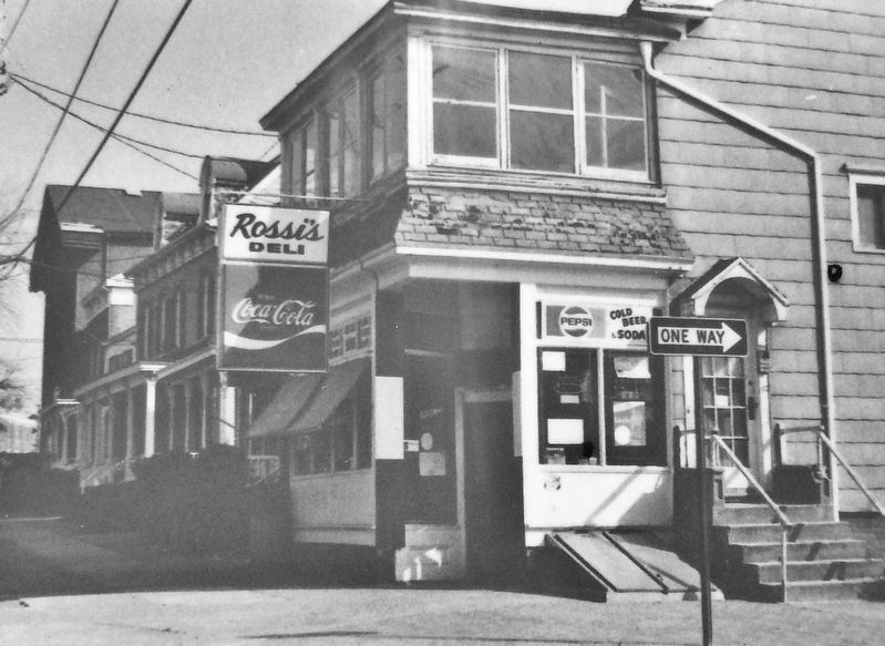
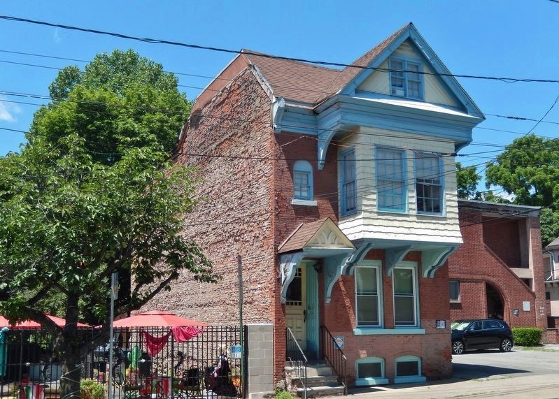
Houses erected along it formed the backbone of the neighborhood during the 19th century as waves of immigrants established working-class lives here. Many of the German, Polish, Irish, and Italian families have remained in the area for generations.
Unpretentious homes built side-by-side on narrow lots created a strong visual identity and sense of community that served the district well when challenged by aggressive urban renewal efforts in the mid 20th century. Influenced by the planning philosophies of the day, large swaths of Poughkeepsie were completely razed including entire neighborhoods that flanked the district.
The residents of Union Street, determined to stop the bulldozers, successfully advocated for its preservation. In 1911, an 8-block section was listed on the National Register of Historic Places. Today, an eclectic mix of arts, business and residences reveal the dynamic potential of conservation. The district's historic building facades and tree-lined streets not only create an oasis amid a bustling, transformed city, but can speak to the power of community activism and identity.
Topics. This historical marker is listed in these topic lists: Roads & Vehicles • Settlements & Settlers. A significant historical year for this entry is 1767.
Location. 41° 42.33′ N, 73° 56.134′ W. Marker is in Poughkeepsie, New York, in Dutchess County. Marker is on South Clover Street just south of Main Street, on the left when traveling south. Marker is located along the sidewalk on the east side of South Clover Street. Touch for map. Marker is in this post office area: Poughkeepsie NY 12601, United States of America. Touch for directions.
Other nearby markers. At least 8 other markers are within walking distance of this marker. Little Italy (within shouting distance of this marker); Thomas Dongan (approx. 0.2 miles away); Vassar Brothers Institute (approx. 0.2 miles away); Matthew Vassar (approx. ¼ mile away); Victor C. Waryas Memorial Park (approx. ¼ mile away); Second Baptist Church (approx. ¼ mile away); River That Flows Both Ways (approx. ¼ mile away); Vassar Residence (approx. ¼ mile away). Touch for a list and map of all markers in Poughkeepsie.
Regarding Union Street Historic Neighborhood. Union Street Historic District, National Register of Historic Places #71000537
Related markers. Click here for a list of markers that are related to this marker. Greater Walkway Experience,
Poughkeepsie, New York
Also see . . .
1. Union Street Historic Neighborhood. (Submitted on January 20, 2020, by Cosmos Mariner of Cape Canaveral, Florida.)
2. Union Street Historic District (Wikipedia). Throughout the 19th century builders put up the same general house plan, adapting it only slightly to prevailing architectural styles: a two-and-half-story structure with three-bay facade. This was done first in brick with stone trim, then wood, then in more detailed brickwork. They evolved from having simple steps to the street, to stoops to, at the end of the century, elaborate verandas. (Submitted on January 20, 2020, by Cosmos Mariner of Cape Canaveral, Florida.)
3. Union Street Historic District - National Archives. National Register of Historic Places documentation (Submitted on January 29, 2024, by Anton Schwarzmueller of Wilson, New York.)
Credits. This page was last revised on January 29, 2024. It was originally submitted on January 19, 2020, by Cosmos Mariner of Cape Canaveral, Florida. This page has been viewed 311 times since then and 74 times this year. Photos: 1, 2, 3, 4, 5, 6. submitted on January 20, 2020, by Cosmos Mariner of Cape Canaveral, Florida.
