Missoula in Missoula County, Montana — The American West (Mountains)
Dixon-Duncan Block
Photographed by Barry Swackhamer, August 21, 2019
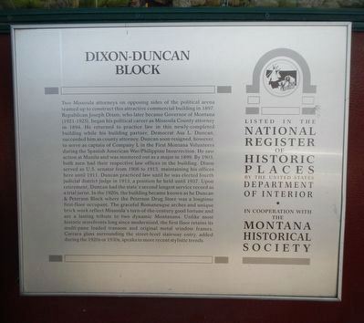
1. Dixon-Duncan Block Marker
Inscription.
Two Missoula attorneys on opposing sides of the political arena teamed up to construct this attractive commercial building in 1897. Republican Joseph Dixon, who later became Governor of Montana (1921-1925), began his political career as Missoula County attorney in 1894. He returned to practice law in this newly completed building while his building partner, Democrat Asa L. Duncan, succeeded him as county attorney. Duncan soon resigned, however, to serve as captain of Company L in the first Montana Volunteers during the Spanish AmericanWar/Philippine Insurrection. He saw action at Manila and was mustered out as a major in 1899. By 1903, both men had their respective law offices in the building. Dixon served as U.S. senator from 1906 to 1913, maintaining his offices here until 1911. Duncan practiced law until he was elected fourth judicial district judge in 1913, a position he held until 1937. Upon retirement, Duncan had the state’s second longest service record as a trial jurist. In the 1920s, the building became known as the Duncan and Peterson Block where the Peterson Drug Store was a longtime first-floor occupant. The
Click or scan to see this page online
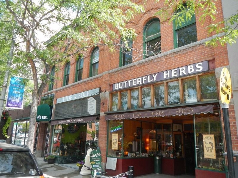
graceful Romanesque arches and unique brickwork reflect Missoula’s turn-of-the-century good fortune and are a lasting tribute to two dynamic Montanans. Unlike most historic storefronts long since modernized, the first floor retains its multi-pane leaded transom and original metal window frames. Carrara glass surrounding the street-level stairway entry, added during the 1920s or 1930s, speaks to more recent stylistic trends.
Erected by Montana National Register Sign Program.
Location. 46° 52.311′ N, 113° 59.644′ W. Marker is in Missoula, Montana, in Missoula County. It is on North Higgins Avenue near East Broadway Street, on the right when traveling north. Touch for map. Marker is at or near this postal address: 240 North Higgins Avenue, Missoula MT 59802, United States of America. Touch for directions.
Regionally, this marker is in Western Montana and in Glacier Country. It
Photographed by Barry Swackhamer, August 21, 2019
2. Dixon-Duncan Block and Marker
The marker is below the neon Expresso sign.
is also in the American Mountain West and in the Lewis & Clark Corridor. Globally, it is in North America, the Rocky Mountains, the Western Hemisphere, the Western World, and the Anglosphere. Historically, it finds itself in what was once Rupert’s Land and also the Louisiana Purchase.
Credits. This page was last revised on January 10, 2025. It was originally submitted on January 20, 2020, by Barry Swackhamer of Brentwood, California. This page has been viewed 304 times since then and 29 times this year. Photos:1, 2. submitted on January 20, 2020, by Barry Swackhamer of Brentwood, California.