Fernandina Beach in Nassau County, Florida — The American South (South Atlantic)
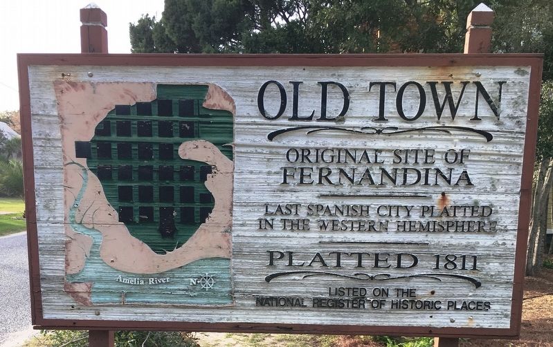
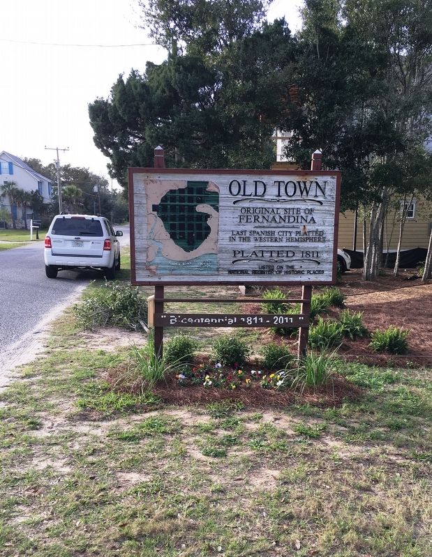
Old Town
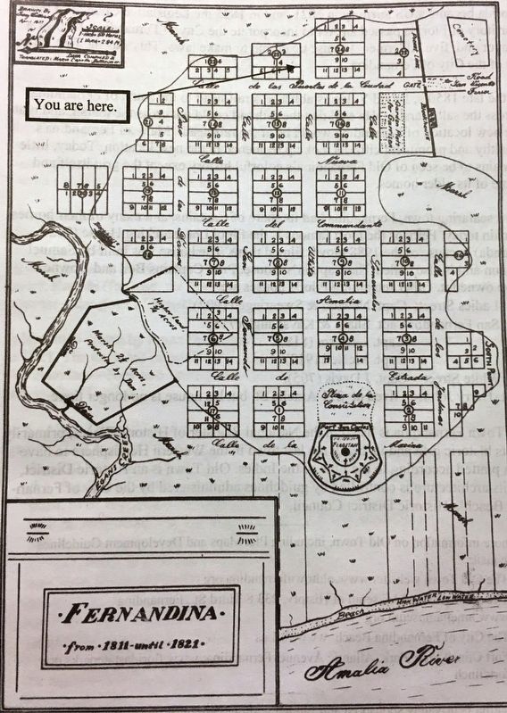
Fernandina
Last Spanish city platted
in the Western Hemisphere
Platted 1811
Listed on the
National Register Of Historic Places
Topics. This historical marker is listed in these topic lists: Hispanic Americans • Settlements & Settlers. A significant historical year for this entry is 1811.
Location. 30° 41.319′ N, 81° 27.145′ W. Marker is in Fernandina Beach, Florida, in Nassau County. Marker is at the intersection of White Street and North 14th Streeet, on the right when traveling west on White Street. Touch for map. Marker is in this post office area: Fernandina Beach FL 32034, United States of America. Touch for directions.
Other nearby markers. At least 8 other markers are within walking distance of this marker. Fort San Carlos (approx. ¼ mile away); Plaza San Carlos (approx. ¼ mile away); The UNESCO Slave Route Project: Resistance, Liberty, Heritage (approx. ¼ mile away); The Plaza (approx. ¼ mile away); 6-Pound Cannon (approx. ¼ mile away); Shipwreck, Slavery and Survival (approx. ¼ mile away); Fort Clinch Military Road (approx. ¼ mile away); McClure's Hill (approx. half a mile away). Touch for a list and map of all markers in Fernandina Beach.
Also see . . . . (Submitted on January 20, 2020, by Brandon D Cross of Flagler Beach, Florida.)
Credits. This page was last revised on January 21, 2020. It was originally submitted on January 20, 2020, by Brandon D Cross of Flagler Beach, Florida. This page has been viewed 245 times since then and 36 times this year. Photos: 1, 2, 3. submitted on January 20, 2020, by Brandon D Cross of Flagler Beach, Florida. • Bernard Fisher was the editor who published this page.


