Mound Arrangement
— Moundville Archaeological Park —
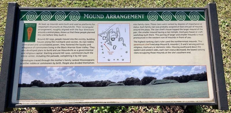
Around AD 1050, people moved into the vicinity, building houses along the riverbank and ravines. As clan nobles centralized and consolidated power, they fostered the loyalty and allegiance of commoners living in the Black Warrior River Valley. They also developed plans to build and use Moundville as a governmental and religious capital. Starting around AD 1200, commoners built the entire center, including the palisade, completing it by AD 1300.
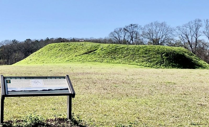
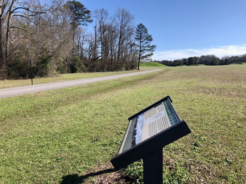
Genealogies traced through the mother's family ranked Mississippians as either nobles or commoners by birth. People also divided themselves into family clans. These clans were ranked by degrees of importance or status. Each family clan was probably assigned at least one pair of mounds around the plaza. The clan chief's house topped the larger mound of the pair; the smaller mound having a clan temple, mortuary house or craft workshop built there. This pairing of larger and smaller mounds is most pronounced in the western row of mounds in front of you.
The highest-ranking clan's ruler used the northernmost mounds. This paramount
chief lived atop Mound B, mounds C, D and V serving political, religious, mortuary or domestic roles. Moving southward down the eastern and western sides, each clan's status decreased, the lowest ranking clans occupying those mounds at the site's southern end.Erected by the University of Alabama.
Topics. This historical marker is listed in these topic lists: Native Americans • Settlements & Settlers.
Location. 33° 0.418′ N, 87° 38.012′ W. Marker is in Moundville, Alabama, in Hale County. Marker is on River Bank Road, half a mile north of Mound Parkway, on the left when traveling north. Touch for map. Marker is at or near this postal address: River Bank Road, Moundville AL 35474, United States of America. Touch for directions.
Other nearby markers. At least 8 other markers are within walking distance of this marker. A Perspective of Power (about 300 feet away, measured in a direct line); The CCC and Moundville (about 500 feet away); Politics and Power (about 700 feet away); a different marker also named Politics and Power (approx. 0.2 miles away); Mound B (approx. 0.2 miles away); Earthlodge (approx. 0.2 miles away); Protection and the Palisade (approx. ¼ mile away); Moundville Archaeological Park (approx. 0.4 miles away). Touch for a list and map of all markers in Moundville.
Also see . . . Wikipedia article on the Moundville Archaeological Park.
Credits. This page was last revised on January 21, 2020. It was originally submitted on January 21, 2020, by Mark Hilton of Montgomery, Alabama. This page has been viewed 310 times since then and 49 times this year. Photos: 1, 2, 3, 4. submitted on January 21, 2020, by Mark Hilton of Montgomery, Alabama.


