
Lafayette in Contra Costa County, California — The American West (Pacific Coastal)
Way Side Inn
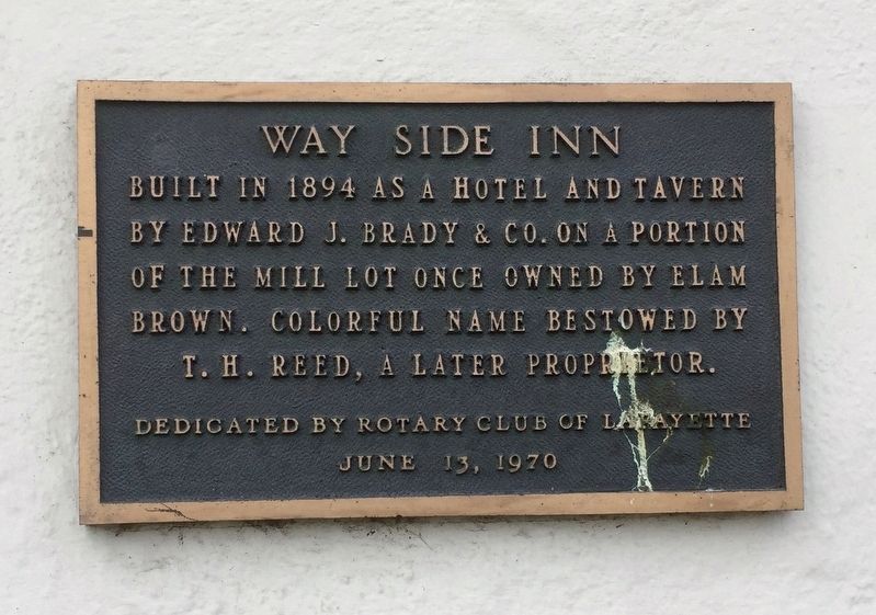
Photographed by Andrew Ruppenstein, January 29, 2020
1. Way Side Inn Marker
Erected 1970 by Rotary Club of Lafayette.
Topics and series. This historical marker is listed in this topic list: Industry & Commerce. In addition, it is included in the Rotary International series list. A significant historical year for this entry is 1894.
Location. 37° 53.498′ N, 122° 7.079′ W. Marker is in Lafayette, California, in Contra Costa County. It is at the intersection of Mt. Diablo Boulevard and Golden Gate Way, on the right when traveling east on Mt. Diablo Boulevard. Touch for map. Marker is at or near this postal address: 3521 Golden Gate Way, Lafayette CA 94549, United States of America. Touch for directions.

Regionally, this marker is in California’s San Francisco Bay Area and on the Coast Ranges. It is also on the American Pacific Coast. Globally, it is in North America, on the Ring of Fire, in the Pacific Rim, in the Western Hemisphere, in the Western World, and in the Anglosphere. Historically, it finds
this page online
Other nearby markers. At least 8 other markers are within walking distance of this marker: Geils Building (a few steps from this marker); Pioneer Store (a few steps from this marker); Dedicated to the Pony Express (within shouting distance of this marker); Lafayette House (about 300 feet away, measured in a direct line); Lafayette Grammar School (about 700 feet away); Deodar Cedars (about 700 feet away); Elam and Margaret Brown Home-Site (about 700 feet away); Lafayette Town Hall (approx. ¼ mile away). Touch for a list and map of all markers in Lafayette.
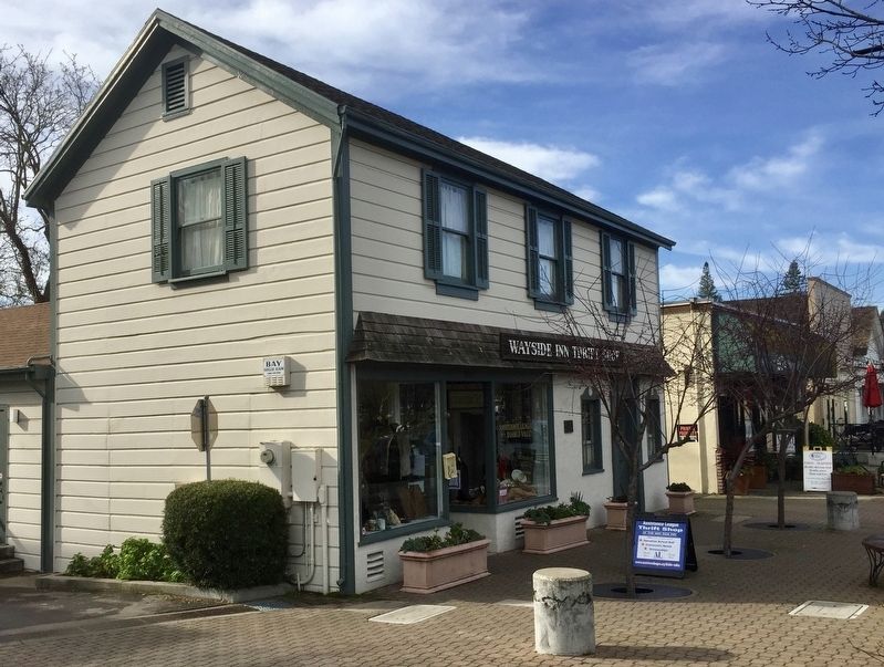
Photographed by Andrew Ruppenstein, January 29, 2020
2. Way Side Inn Marker - wide view
The marker is visible here just to the right of the shop window.
Credits. This page was last revised on January 29, 2020. It was originally submitted on January 29, 2020, by Andrew Ruppenstein of Lamorinda, California. This page has been viewed 313 times since then and 22 times this year. Photos: 1, 2. submitted on January 29, 2020, by Andrew Ruppenstein of Lamorinda, California.
