Poughkeepsie in Dutchess County, New York — The American Northeast (Mid-Atlantic)
Dutchess County
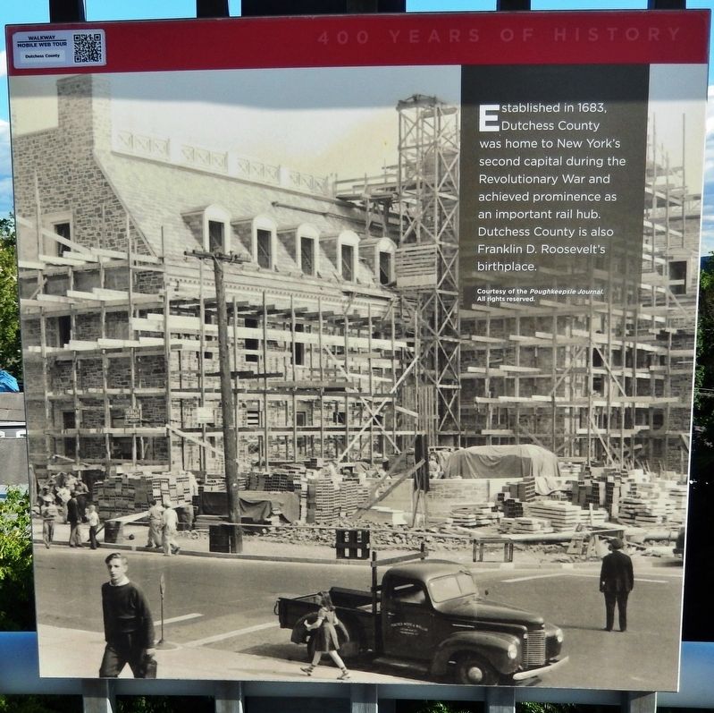
400 Years of History
Background photo courtesy of the Poughkeepsie Journal. All rights reserved.
Topics and series. This historical marker is listed in these topic lists: Colonial Era • Railroads & Streetcars • War, US Revolutionary. In addition, it is included in the Former U.S. Presidents: #32 Franklin D. Roosevelt series list. A significant historical year for this entry is 1683.
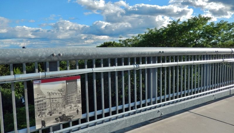
Location. 41° 42.63′ N, 73° 55.971′ W. Marker is in Poughkeepsie, New York, in Dutchess County. Marker can be reached from Parker Avenue (New York State Route 9G) ¼ mile east of Washington Street (New York State Route 9G), on the left when traveling east. Marker is mounted at knee-level on the south railing of the old Poughkeepsie-Highland Railroad Bridge, about 4/10 mile west of the Parker Avenue parking lot for Walkway Over the Hudson State Historic Park. Touch for map. Marker is at or near this postal address: 49 Parker Avenue, Poughkeepsie NY 12601, United States of America. Touch for directions.
Other nearby markers. At least 8 other markers are within walking distance of this marker. Mid-Hudson Bridge (within shouting distance of this marker); Named for Englishman Henry Hudson (about 300 feet away, measured in a direct line); Intercollegiate Rowing Association (about 400 feet away); May 8th, 1974 (about 500 feet away); a different marker also named Mid-Hudson Bridge (about 700 feet away); Catskill Mountains (about 800 feet away); Nearly 3000 Men (approx. 0.2 miles away); Signal Towers (approx. 0.2 miles away). Touch for a list and map of all markers in Poughkeepsie.
More about this marker. Originally built in 1889, today the repurposed Poughkeepsie Highland Railroad Bridge carries a scenic pedestrian walkway over the Hudson River.
Also see . . . A Brief History of Dutchess County. After the burning of Kingston in October 1777, Poughkeepsie served as the state capitol until the conclusion of hostilities. Through June and July 1788, the Dutchess County Courthouse at Poughkeepsie provided the scene for New York’s Ratification Debates on the United States Constitution. (Submitted on February 5, 2020, by Cosmos Mariner of Cape Canaveral, Florida.)
Credits. This page was last revised on February 5, 2020. It was originally submitted on January 31, 2020, by Cosmos Mariner of Cape Canaveral, Florida. This page has been viewed 122 times since then and 12 times this year. Photos: 1, 2. submitted on February 5, 2020, by Cosmos Mariner of Cape Canaveral, Florida.

