Wortham in Freestone County, Texas — The American South (West South Central)
The Wortham Oil Boom
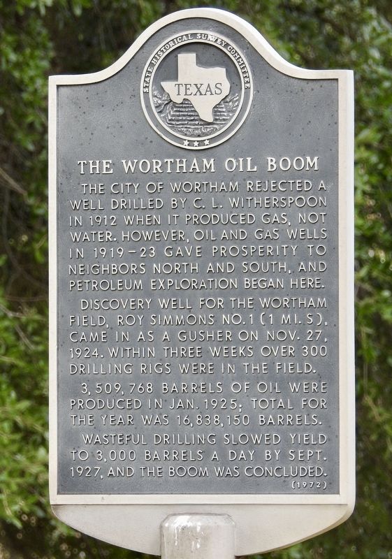
The city of Wortham rejected a well drilled by C. L. Witherspoon in 1912 when it produced gas, not water. However, oil and gas wells in 1919-23 gave prosperity to neighbors north and south, and petroleum exploration began here. Discovery well for the Wortham Field, Roy Simmons No. 1 (1 mi. S), came in as a gusher on Nov. 27, 1924. Within three weeks over 300 drilling rigs were in the field. 3,509,768 barrels of oil were produced in Jan. 1925; total for the year was 16,838,150 barrels. Wasteful drilling slowed yield to 3,000 barrels a day by Sept. 1927, and the boom was concluded. (1972)
Erected 1972 by State Historical Survey Committee. (Marker Number 9915.)
Topics. This historical marker is listed in these topic lists: Industry & Commerce • Natural Resources. A significant historical month for this entry is January 1925.
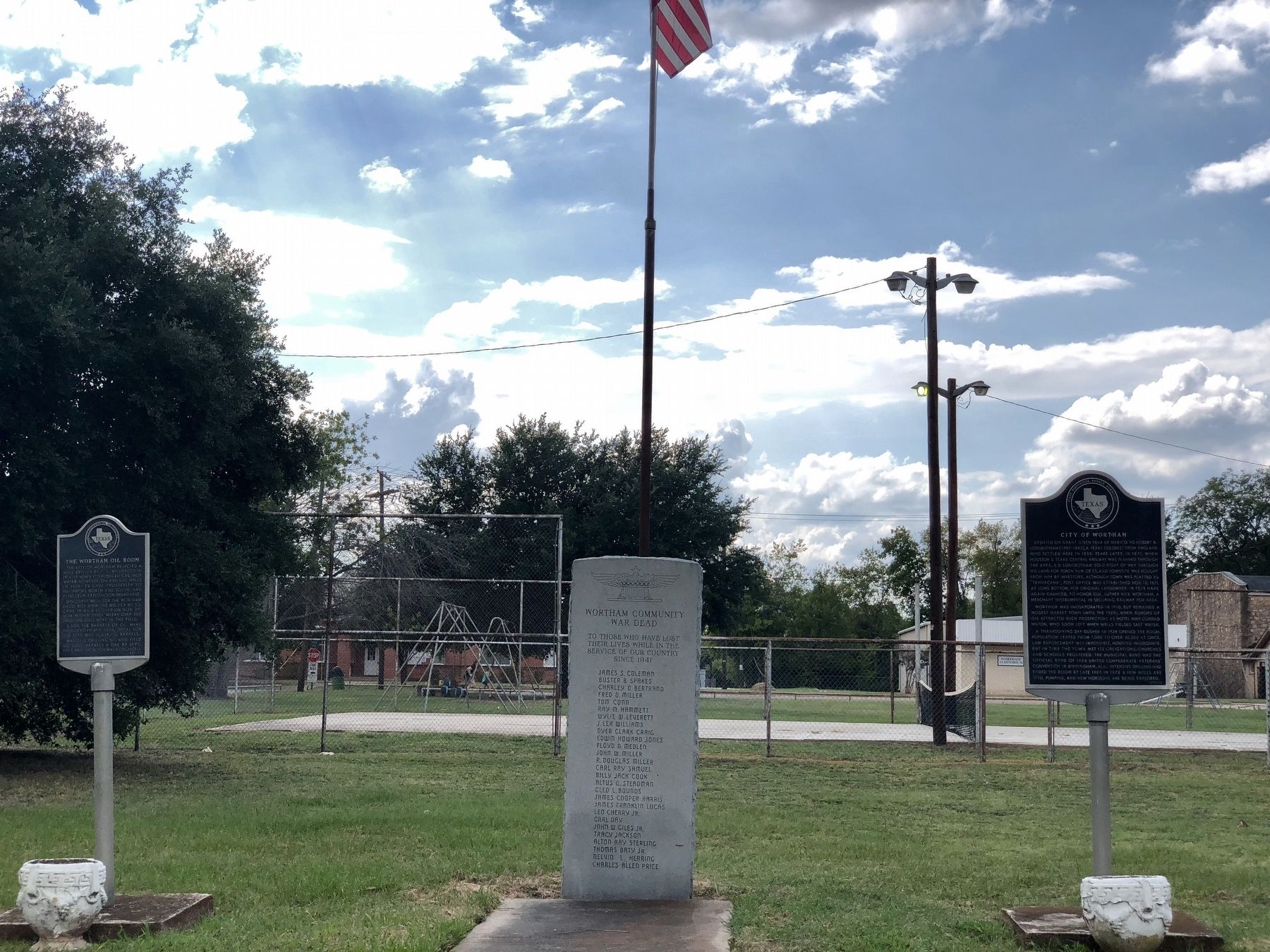
Location. 31° 47.256′ N, 96° 27.851′ W. Marker is in Wortham, Texas, in Freestone County. Marker is on TX-14, on the left when traveling north. Located in Wortham City Park. Touch for map. Marker is at or near this postal address: 108 TX-14, Wortham TX 76693, United States of America. Touch for directions.
Other nearby markers. At least 8 other markers are within 6 miles of this marker, measured as the crow flies. City of Wortham (here, next to this marker); United Methodist Church (within shouting distance of this marker); The Rev. G.W. Bounds (within shouting distance of this marker); Blind Lemon Jefferson (approx. 0.7 miles away); Mrs. Lucy Haggard Longbotham (approx. 0.7 miles away); Robert B. Longbotham (approx. 0.7 miles away); Tehuacana Cemetery (approx. 5.3 miles away); William Rees (approx. 5.7 miles away). Touch for a list and map of all markers in Wortham.
Credits. This page was last revised on November 18, 2020. It was originally submitted on January 31, 2020, by QuesterMark of Fort Worth, Texas. This page has been viewed 220 times since then and 24 times this year. Photos: 1, 2. submitted on January 31, 2020, by QuesterMark of Fort Worth, Texas. • J. Makali Bruton was the editor who published this page.

