Orinda in Contra Costa County, California — The American West (Pacific Coastal)
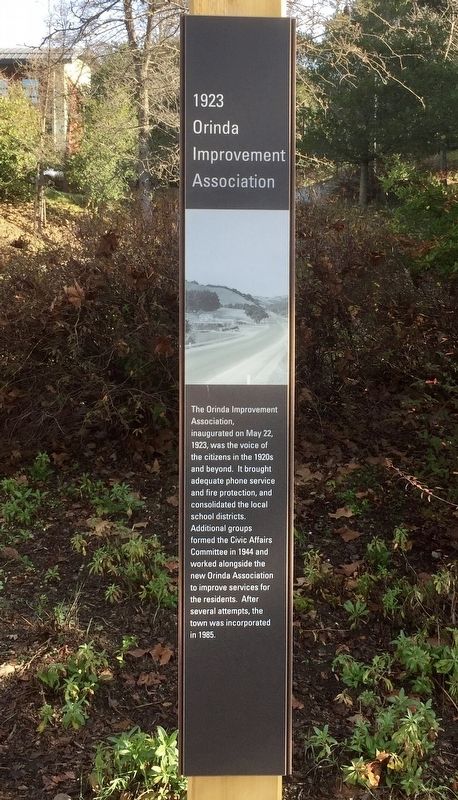
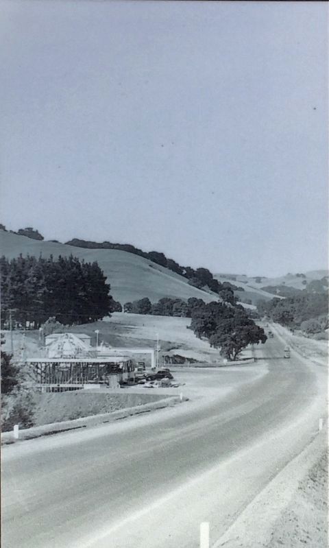
1923 Orinda Improvement Association
Erected 2019.
Topics. This historical marker is listed in this topic list: Charity & Public Work. A significant historical date for this entry is May 22, 1923.
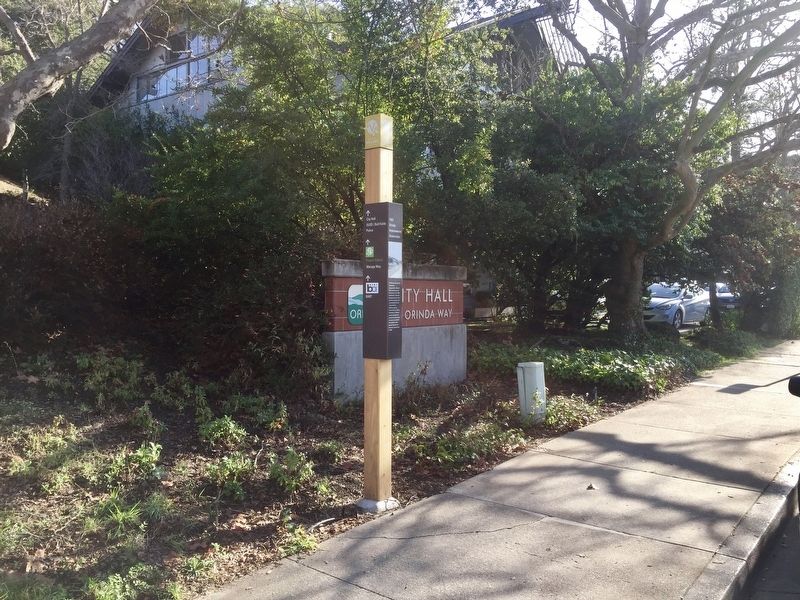
Location. 37° 52.885′ N, 122° 11.193′ W. Marker is in Orinda, California, in Contra Costa County. Marker is on Orinda Way, 0.1 miles north of Santa Maria Way, on the right when traveling north. Touch for map. Marker is in this post office area: Orinda CA 94563, United States of America. Touch for directions.
Other nearby markers. At least 8 other markers are within walking distance of this marker. The Santa Maria Chapel, 1892 (within shouting distance of this marker); 1958 The Orinda Library (about 300 feet away, measured in a direct line); The Conklin Hotel (about 400 feet away); Orinda School (about 700 feet away); The First Downtown (about 800 feet away); 1925 Orinda Union School (approx. 0.2 miles away); Santa Maria Church Bell (approx. 0.2 miles away); Did You Know that Orinda Once Had a Railroad? (approx. 0.2 miles away). Touch for a list and map of all markers in Orinda.
Credits. This page was last revised on January 31, 2020. It was originally submitted on January 31, 2020, by Andrew Ruppenstein of Lamorinda, California. This page has been viewed 140 times since then and 6 times this year. Photos: 1, 2, 3. submitted on January 31, 2020, by Andrew Ruppenstein of Lamorinda, California.


