Near Currytown in Montgomery County, New York — The American Northeast (Mid-Atlantic)
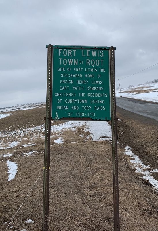
Fort Lewis
Town of Root
Topics. This historical marker is listed in these topic lists: Native Americans • Settlements & Settlers • War, US Revolutionary. A significant historical year for this entry is 1780.
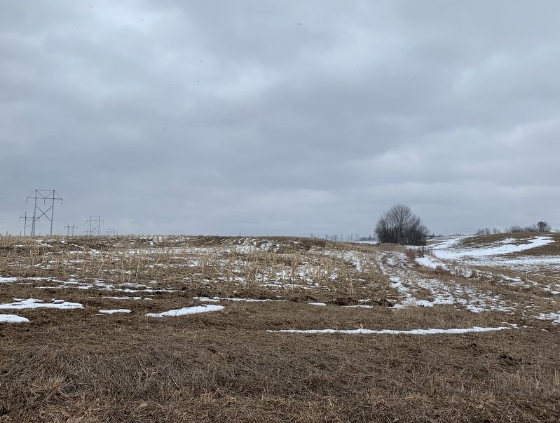
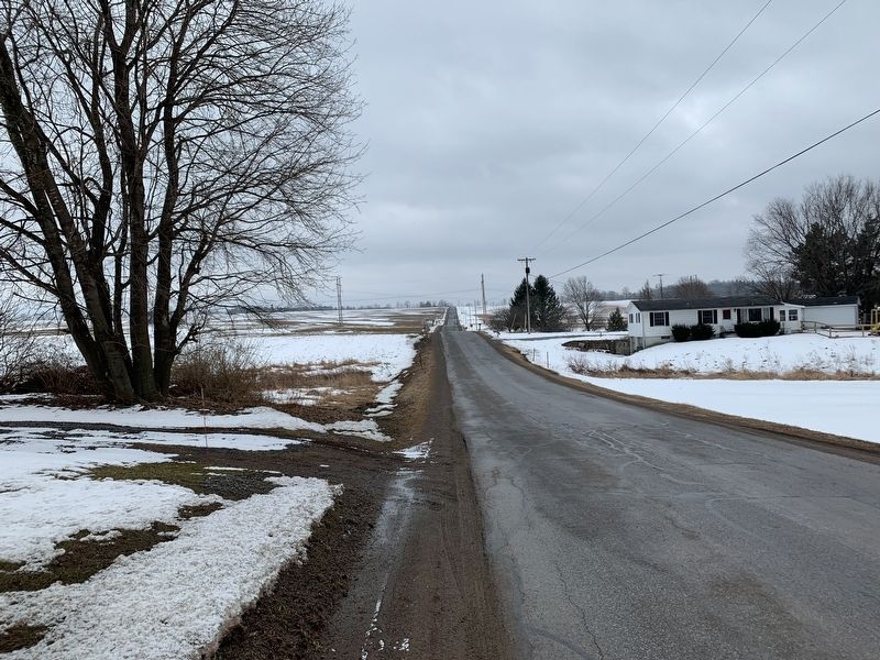
Location. 42° 51.277′ N, 74° 27.999′ W. Marker is near Currytown, New York, in Montgomery County. Marker is on Darrow Road, half a mile south of New York State Route 162, on the left when traveling south. Touch for map. Marker is in this post office area: Sprakers NY 12166, United States of America. Touch for directions.
Other nearby markers. At least 8 other markers are within 4 miles of this marker, measured as the crow flies. Enoch Ambler (approx. 0.2 miles away); This Vicinity Raided (approx. 0.3 miles away); Currytown Reformed Church (approx. 0.4 miles away); Canagere (approx. 2.9 miles away); Site of Early Home of Major Jelles Fonda (approx. 3.3 miles away); This Is Mohawk Country (approx. 3.3 miles away); The Canalway Trail: Sprakers / Competition / Anything & Everything (approx. 3˝ miles away); Keator's Rift (approx. 3.8 miles away).
Credits. This page was last revised on February 6, 2020. It was originally submitted on February 2, 2020, by Steve Stoessel of Niskayuna, New York. This page has been viewed 259 times since then and 74 times this year. Photos: 1, 2, 3. submitted on February 2, 2020, by Steve Stoessel of Niskayuna, New York. • Michael Herrick was the editor who published this page.


