Skólavörđustígur 11
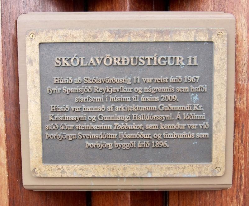
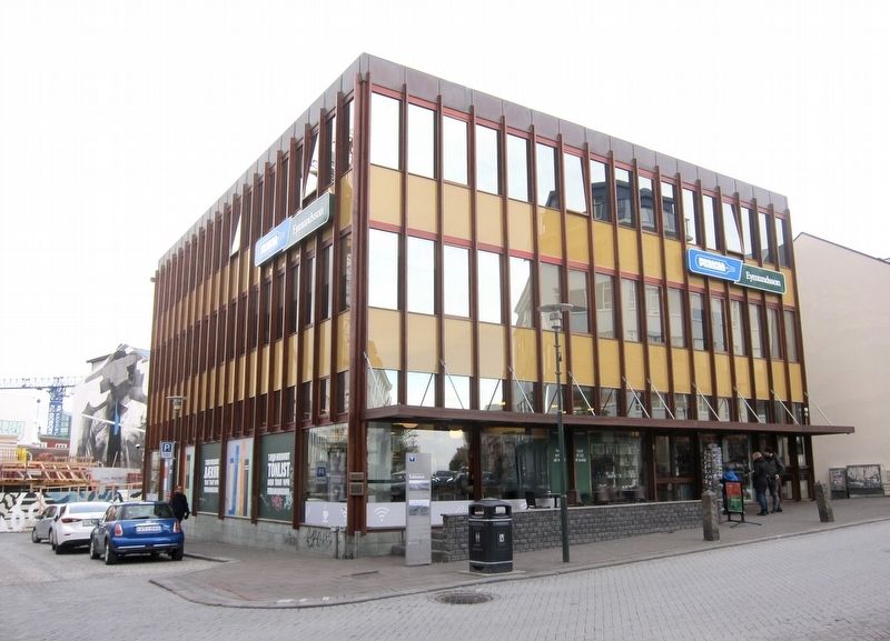
Húsiđ ađ Skólavörđustíg 11 var reist áriđ 1967 fyrir Sparisjóđ Reykjavíkur og nágrennis sem hafđi starfsemi í húsinu til ársins 2009.
Húsiđ var hannađ af arkitektunum Guđmundi Kr. Kristinssyni og Gumlaugi Halldórssyni. Á lóđini stóđ áđur steinbćrinn Tobbukot, sem kenndur var viđ ţorbjörgu Sveinsdóttur ljósmóđur, og timburhús sem ţorbjörg byggđi áriđ 1896.
-
The house was designed by the architects Guđmundur Kr.
Kristinsson and Gumlaug Halldórsson. Earlier on this site there stood a stone farmhouse, Tobbukot, occupied by the midwife Thorbjörg Sveinsdóttir, as well as a wooden house that
Thorbjörg had built in 1896.
Erected by Reitir.
Topics. This historical marker is listed in these topic lists: Industry & Commerce • Women. A significant historical year for this entry is 1967.
Location. 64° 8.714′ N, 21° 55.874′
Other nearby markers. At least 8 other markers are within walking distance of this marker. Tobbukot (here, next to this marker); Skólavörđustígur 13 (within shouting distance of this marker); Laugavegur 15 (about 90 meters away, measured in a direct line); Laugavegur (about 180 meters away); Torfhildur Hólm (about 180 meters away); Bankastrćti 10 (about 180 meters away); Founding of the Reykjavik Water Utility / Uphaf vatnsveitu (about 180 meters away); Ţingholtsstrćti 13 (about 180 meters away). Touch for a list and map of all markers in Reykjavík.
Credits. This page was last revised on February 4, 2020. It was originally submitted on February 4, 2020, by Andrew Ruppenstein of Lamorinda, California. This page has been viewed 193 times since then and 32 times this year. Photos: 1, 2. submitted on February 4, 2020, by Andrew Ruppenstein of Lamorinda, California.

