
Orinda in Contra Costa County, California — The American West (Pacific Coastal)
1923 The Fire House

Photographed by Andrew Ruppenstein, February 4, 2020
1. 1923 The Fire House Marker
Erected 2019.
Topics. This historical marker is listed in this topic list: Notable Buildings. A significant historical year for this entry is 1923.
Location. 37° 53.051′ N, 122° 11.401′ W. Marker is in Orinda, California, in Contra Costa County. It is at the intersection of Orinda Way and Irwin Way, on the right when traveling north on Orinda Way. Touch for map. Marker is in this post office area: Orinda CA 94563, United States of America. Touch for directions.

Regionally, this marker is in California’s San Francisco Bay Area and on the Coast Ranges. It is also on the American Pacific Coast. Globally, it is in North America, on the Ring of Fire, in the Pacific Rim, in
this page online
Other nearby markers. At least 8 other markers are within walking distance of this marker: Community Park (about 300 feet away, measured in a direct line); 1923 Miss Graham's Riding Academy (about 300 feet away); Orinda Village (about 400 feet away); Did You Know that Orinda Once Had a Railroad? (about 500 feet away); Orinda Motors (about 500 feet away); 1925 Orinda Union School (about 600 feet away); Orinda General Store Site (about 600 feet away); Orinda School (about 700 feet away). Touch for a list and map of all markers in Orinda.
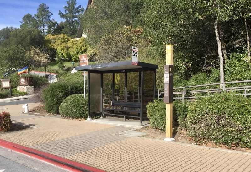
Photographed by Andrew Ruppenstein, February 4, 2020
2. 1923 The Fire House Marker - wide view
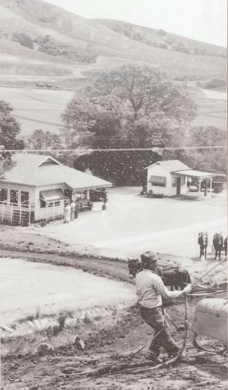
3. Marker inset photo
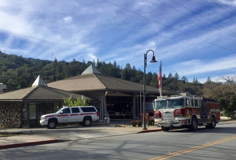
Photographed by Andrew Ruppenstein, February 4, 2020
4. Moraga-Orinda Fire District Fire Station, directly across the street from the marker
Credits. This page was last revised on February 4, 2020. It was originally submitted on February 4, 2020, by Andrew Ruppenstein of Lamorinda, California. This page has been viewed 459 times since then and 21 times this year. Photos: 1, 2, 3, 4. submitted on February 4, 2020, by Andrew Ruppenstein of Lamorinda, California.
