Tower Grove Park in St. Louis, Missouri — The American Midwest (Upper Plains)
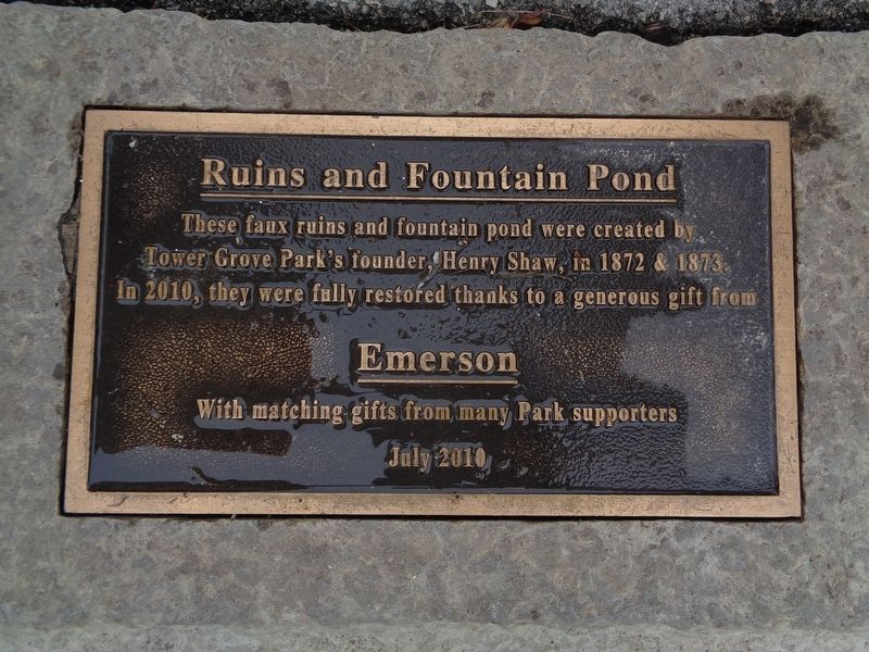
Ruins and Fountain Pond
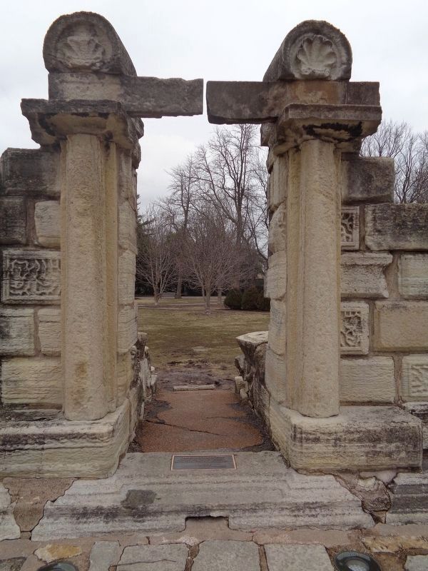
These faux ruins and fountain pond were created by Tower Grove Park's founder, Henry Shaw, in 1872 & 1873. In 2010, they were fully restored thanks to a generous gift from
with matching gifts from many Park supporters
July 2010
Erected 2010.
Topics. This historical marker is listed in these topic lists: Architecture • Arts, Letters, Music • Parks & Recreational Areas. A significant historical year for this entry is 1872.
Location. 38° 36.429′ N, 90° 15.402′ W. Marker is in St. Louis, Missouri. It is in Tower Grove Park. Marker can be reached from Pond Drive, 0.1 miles east of Center Drive, on the right when traveling east. Marker is in front of a pond in Tower Grove Park. Touch for map. Marker is at or near this postal address: 4257 Northeast Drive, Saint Louis MO 63110, United States of America. Touch for directions.
Other nearby markers. At least 8 other markers are within walking distance of this marker. Original 1873 Fountain (within shouting distance of this marker); Constance H. Lennahan (within shouting distance of this marker); The Lily Ponds (within shouting distance of this marker); Alexander von Humboldt (about 600 feet away, measured in a direct line); "Know" Maintenance Garden (approx. ¼ mile away); Stumpery (approx. ¼ mile away); Strassenfest German Garden (approx. ¼ mile away); Honoring a Botanist (approx. ¼ mile away). Touch for a list and map of all markers in St. Louis.
Credits. This page was last revised on January 30, 2023. It was originally submitted on February 1, 2020, by Jason Voigt of Glen Carbon, Illinois. This page has been viewed 283 times since then and 17 times this year. Last updated on February 5, 2020, by Jason Voigt of Glen Carbon, Illinois. Photos: 1, 2. submitted on February 1, 2020, by Jason Voigt of Glen Carbon, Illinois. • Devry Becker Jones was the editor who published this page.

