St. Marys in Camden County, Georgia — The American South (South Atlantic)
International Border Town
St. Marys History Walk
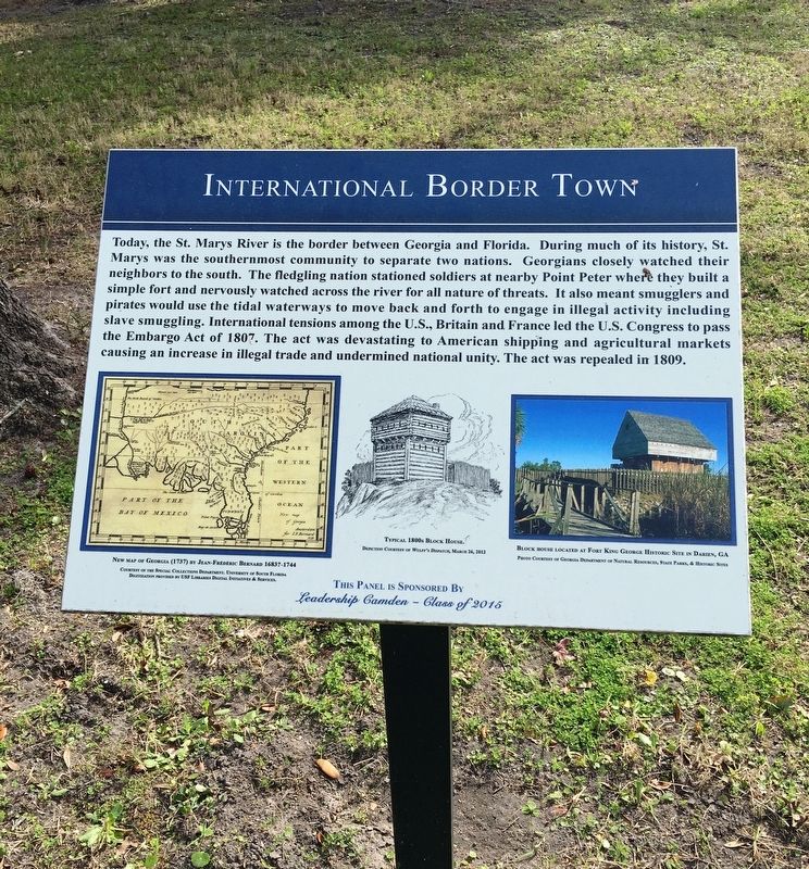
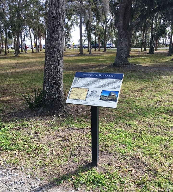
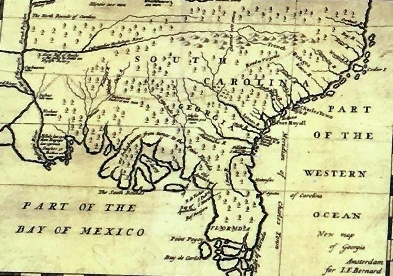
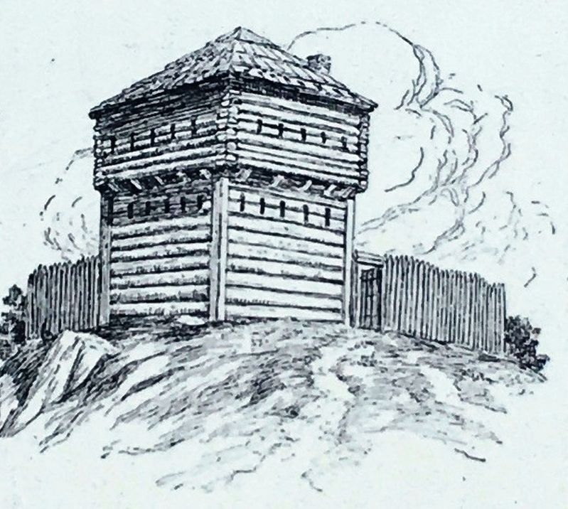
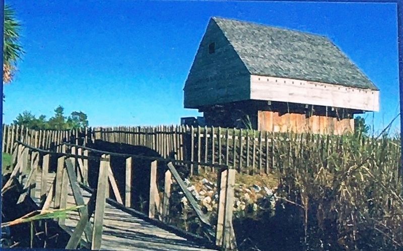
Today, the St. Marys River is the border between Georgia and Florida. During much of its history St. Marys was the southernmost community to separate two nations. Georgians closely watched their neighbors to the south. The fledging nation stationed soldiers at nearby Point Peter where they built a simple fort and nervously watched across the river for all nature of threats. It also meant smugglers and pirates would use the tidal waterways to move back and forth to engage in illegal activity including slave smuggling. International tensions among the U.S., Britain and France led the U.S. Congress to pass the Embargo Act of 1807. The act was devastating to American shipping and agricultural markets causing an increase in illegal trade and undermined national unity. The act was repealed in 1809.
Erected 2016 by Leadership Camden - Class of 2015.
Topics. This historical marker is listed in these topic lists: Forts and Castles • Parks & Recreational Areas. A significant historical year for this entry is 1807.
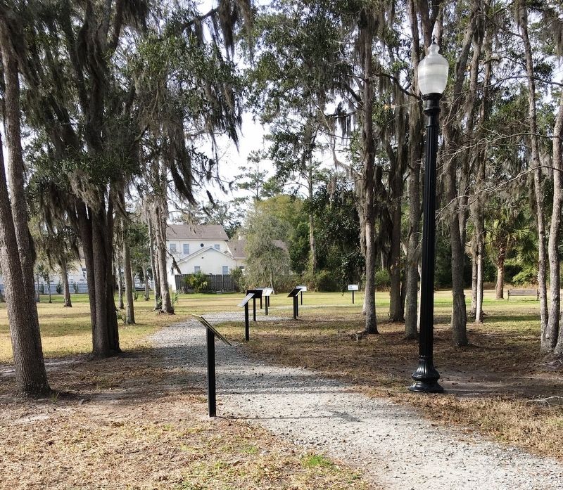
Location. 30° 43.31′ N, 81° 33.234′ W. Marker is in St. Marys, Georgia, in Camden County. Marker can be reached from the intersection of Bartlett Street and St Marys Street West, on the left when traveling north. Marker located within the St. Marys History Walk. Touch for map. Marker is at or near this postal address: 101 Bartlett St, Saint Marys GA 31558, United States of America. Touch for directions.
Other nearby markers. At least 8 other markers are within walking distance of this marker. Tall Ships in the Harbor (a few steps from this marker); The Tragic Acadians (a few steps from this marker); Shipbuilding Launched in St. Marys (a few steps from this marker); Ships Under Sail: (a few steps from this marker); The Washington Pump & Oak (a few steps from this marker); Industry finds St. Marys (a few steps from this marker); Georgia’s Spanish Period (a few steps from this marker); a different marker also named Industry finds St. Marys (within shouting distance of this marker). Touch for a list and map of all markers in St. Marys.
Credits. This page was last revised on October 19, 2020. It was originally submitted on February 6, 2020, by Brandon D Cross of Flagler Beach, Florida. This page has been viewed 193 times since then and 22 times this year. Photos: 1, 2, 3, 4, 5, 6. submitted on February 6, 2020, by Brandon D Cross of Flagler Beach, Florida. • Bernard Fisher was the editor who published this page.
