Coopers Rock State Forest in Monongalia County, West Virginia — The American South (Appalachia)
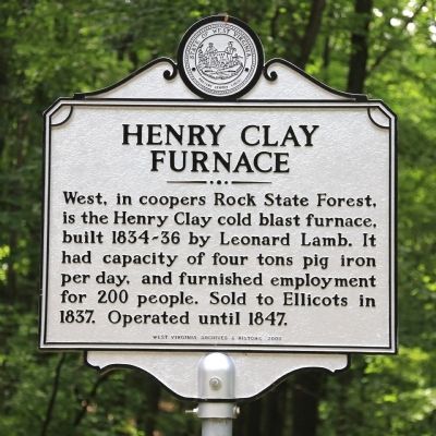
Henry Clay Furnace
Erected 2009 by West Virginia Archives and History.
Topics and series. This historical marker is listed in this topic list: Industry & Commerce. In addition, it is included in the Appalachian Iron Furnaces, and the West Virginia Archives and History series lists. A significant historical year for this entry is 1837.
Location. 39° 39.18′ N, 79° 49.407′ W. Marker is in Coopers Rock State Forest, West Virginia, in Monongalia County. Marker can be reached from County Line Drive (Local Route 73/12) south of Exit 15 (Interstate 68). Touch for map. Marker is at or near this postal address: 61 County Line Drive, Bruceton Mills WV 26525, United States of America. Touch for directions.
Other nearby markers. At least 8 other markers are within 3 miles of this marker, measured as the crow flies. Fueling a Community: The Henry Clay Iron Furnace (approx. 0.4 miles away); Henry Clay Iron Furnace (approx. 0.4 miles away); The CCC: Creating a Lasting Monument to Conservation (approx. 1.2 miles away); Salt Sand (approx. 1.2 miles away); Memorial Fountain (approx. 2 miles away); Ice’s Ferry (approx. 2.2 miles away); Site of the Birthplace of David Adam Ice (approx. 2.2 miles away); Clean Water Comes To Morgantown (approx. 2.7 miles away). Touch for a list and map of all markers in Coopers Rock State Forest.
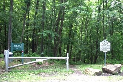
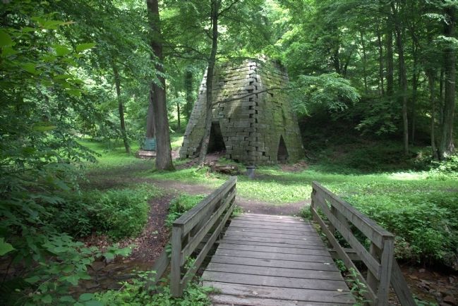
More about this marker. This marker is in Coopers Rock State Forest, in the parking area for the Clay Furnace Hiking Trail, which leads down to the furnace. There is no charge to enter the State Forest. An earlier version of this marker was located on old US 48, a highway between Cumberland and Morgantown that was replaced by Interstate 68 in the 1990s. The text on this marker suggests that it may be unchanged from the older marker that stood on the highway outside of the State Forest entrance.
Related marker. Click here for another marker that is related to this marker.
Credits. This page was last revised on February 8, 2020. It was originally submitted on June 17, 2014, by J. J. Prats of Powell, Ohio. This page has been viewed 548 times since then and 23 times this year. Last updated on February 7, 2020, by Bradley Owen of Morgantown, West Virginia. Photos: 1, 2, 3. submitted on June 17, 2014, by J. J. Prats of Powell, Ohio. • Devry Becker Jones was the editor who published this page.


