Poughkeepsie in Dutchess County, New York — The American Northeast (Mid-Atlantic)
Franklin D. Roosevelt Mid-Hudson Bridge
400 Years of History
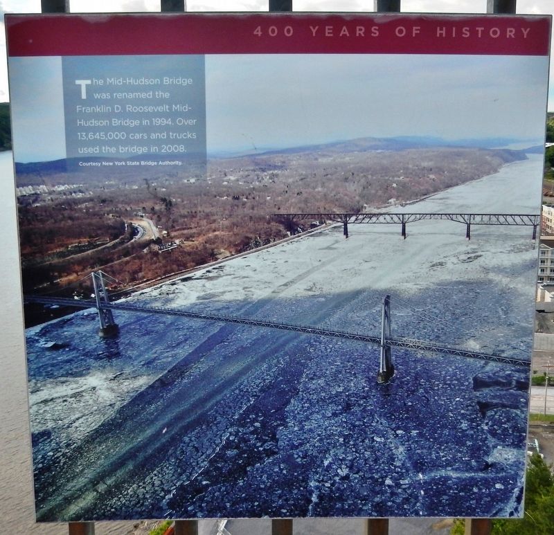
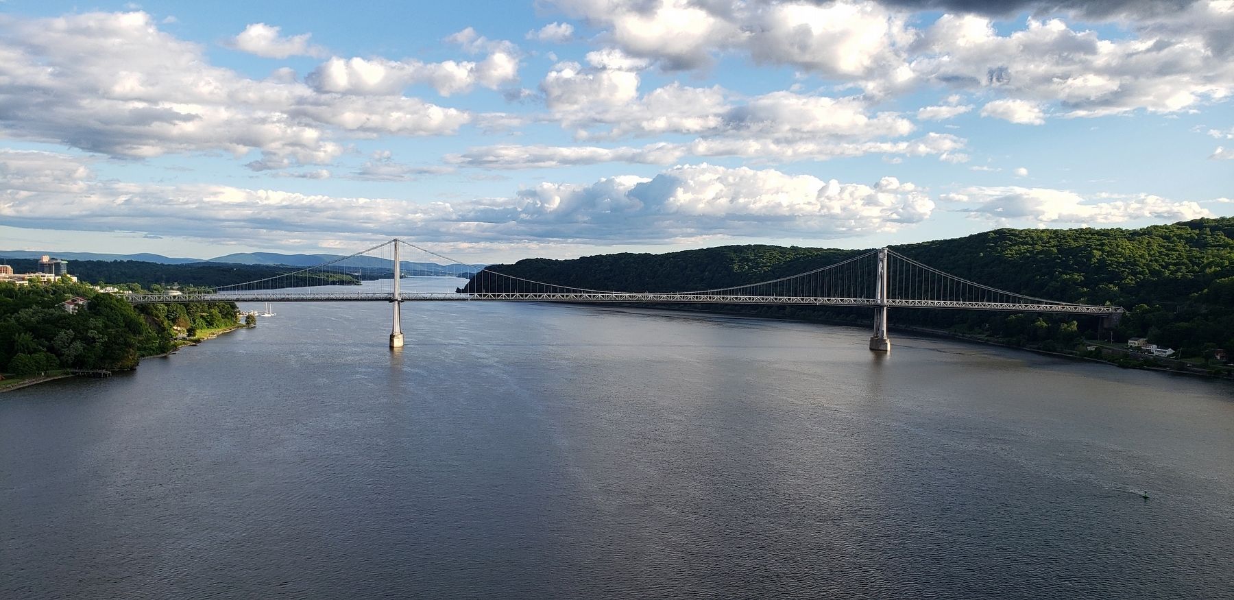
The Mid-Hudson Bridge was renamed the Franklin D. Roosevelt Mid-Hudson Bridge in 1994. Over 13,645,000 cars and trucks used the bridge in 2008.
Background photograph courtesy New York State Bridge Authority.
Topics. This historical marker is listed in this topic list: Bridges & Viaducts. A significant historical year for this entry is 1994.
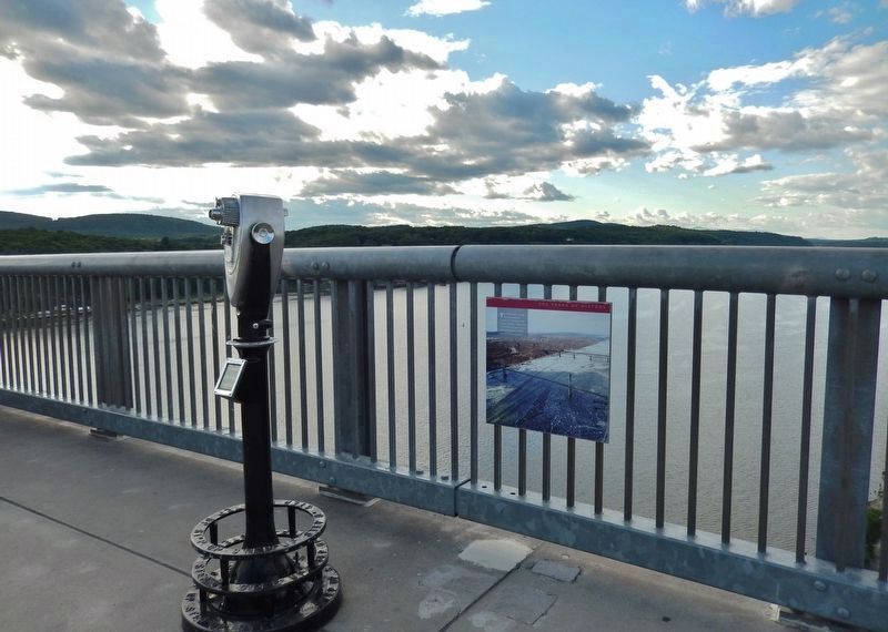
Location. 41° 42.636′ N, 73° 56.4′ W. Marker is in Poughkeepsie, New York, in Dutchess County. Marker can be reached from Parker Avenue (New York State Route 9G) ¼ mile east of Washington Street (New York State Route 9G), on the left when traveling east. Marker is mounted at knee-level on the north railing of the old Poughkeepsie-Highland Railroad Bridge, about 3/4 mile west of the Parker Avenue parking lot for Walkway Over the Hudson State Historic Park. Touch for map. Marker is at or near this postal address: 49 Parker Avenue, Poughkeepsie NY 12601, United States of America. Touch for directions.
Other nearby markers. At least 8 other markers are within walking distance of this marker. The Hudson River Day Line (within shouting distance of this marker); Poughkeepsie's Waterfront (within shouting distance of this marker); Lange Rack (about 300 feet away, measured in a direct line); Poughkeepsie Railroad Bridge Construction (about 600 feet away); Poughkeepsie Waterfront (about 600 feet away); Main Street Ferry Landing (about 600 feet away); Poughkeepsie Railroad Bridge: Eastern Overland Approach (about 700 feet away); The Fall Kill (about 800 feet away). Touch for a list and map of all markers in Poughkeepsie.
More about this marker. Originally built in 1889, today the repurposed Poughkeepsie Highland Railroad Bridge carries a scenic pedestrian walkway over the Hudson River.
Also see . . . The Mid-Hudson Bridge. New York State Bridge Authority website entry (Submitted on November 4, 2021, by Larry Gertner of New York, New York.)
Credits. This page was last revised on November 4, 2021. It was originally submitted on February 8, 2020, by Cosmos Mariner of Cape Canaveral, Florida. This page has been viewed 137 times since then and 9 times this year. Photos: 1, 2, 3. submitted on February 8, 2020, by Cosmos Mariner of Cape Canaveral, Florida.


