Chesapeake City in Cecil County, Maryland — The American Northeast (Mid-Atlantic)
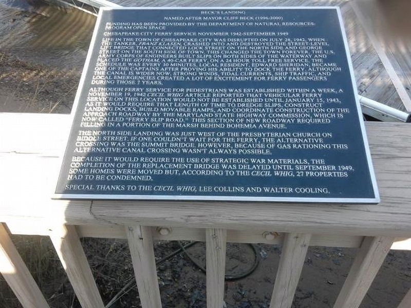
Beck's Landing
Funding has been provided by the Department of Natural Resources - Program Open Space
Chesapeake City Ferry Service November 1942 - September 1949
Life in the town of Chesapeake City was disrupted on July 28, 1942, when the tanker, Franz Klasen, crashed into and destroyed the street-level lift bridge that connected Lock Street on the north side and George Street on the south side of town. This changed the town forever. The U.S. Army Corps of Engineers built slips on both sides of the waterway and placed the Gotham, a 40-car ferry, on a 24 hour toll free service. The schedule was every 30 minutes. Local resident, Edward Sheridan, became one of the captains after proving his ability to dock the ferry. Although the canal is wider now, strong winds, tidal currents, ship traffic and local emergencies created a lot of excitement for ferry passengers during those 7 years.
Although ferry service for pedestrians was established within a week, a November 19, 1942 Cecil Whig article reported that vehicular ferry service on this location would not be established until January 15, 1943, as it would require that length of time to dredge slips, construct landing docks, build movable ramps, and coordinate construction of the approach roadway by the Maryland State Highway Commission, which is now called "Ferry Slip Road." This section of new roadway required filling in a portion of the marsh behind Bohemia Avenue.
The north side landing was just west of the Presbyterian church on Biddle Street. If one couldn't wait for the ferry, the alternative crossing was the Summit Bridge. However, because of gas rationing this alternative canal crossing wasn't always possible.
Because it would require the use of strategic war materials, the completion of the replacement bridge was delayed until September 1949. Some homes were moved but, according to the Cecil Whig, 27 properties had to be condemned.
Special thanks to the Cecil Whig, Lee Collins and Walter Cooling.
Topics. This historical marker is listed in this topic list: Bridges & Viaducts. A significant historical year for this entry is 1942.
Location. 39° 31.58′ N, 75° 48.691′ W. Marker is in Chesapeake City, Maryland, in Cecil County. Marker is on 2nd Street (Maryland Route 286) 0.1 miles Ferry Slip Road, on the right when traveling west. Parallel to and next to the north side of 2nd Street, there are 2 wooden walkways next to each other; this marker is posted on the north railing of the walkway which is further north. Touch for map. Marker is in this post office area: Chesapeake City MD 21915, United States of America. Touch for directions.
Other nearby markers. At least 8 other markers are within walking distance of this marker. Town Hall (about 300 feet away, measured in a direct line); Brady-Rees House (about 300 feet away); Byway Destinations / Chesapeake City (about 300 feet away); Dr. Smithers' House c. 1848 (about 300 feet away); Capt. Colmary-Salmon House (about 300 feet away); Sarah Beaston House (about 400 feet away); Pell Gardens (about 400 feet away); Franklin Hall (about 400 feet away). Touch for a list and map of all markers in Chesapeake City.
Credits. This page was last revised on February 12, 2020. It was originally submitted on February 11, 2020, by Carl Gordon Moore Jr. of North East, Maryland. This page has been viewed 182 times since then and 36 times this year. Photo 1. submitted on February 11, 2020, by Carl Gordon Moore Jr. of North East, Maryland. • Bill Pfingsten was the editor who published this page.
