Colonia Guerrero in Ciudad de México, Mexico — The Valley of Mexico (The Central Highlands)
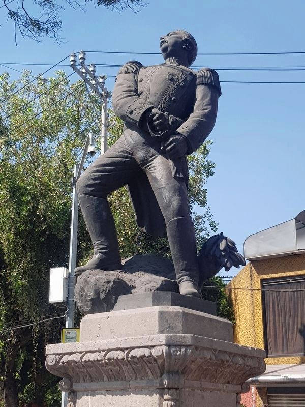
José María Arteaga
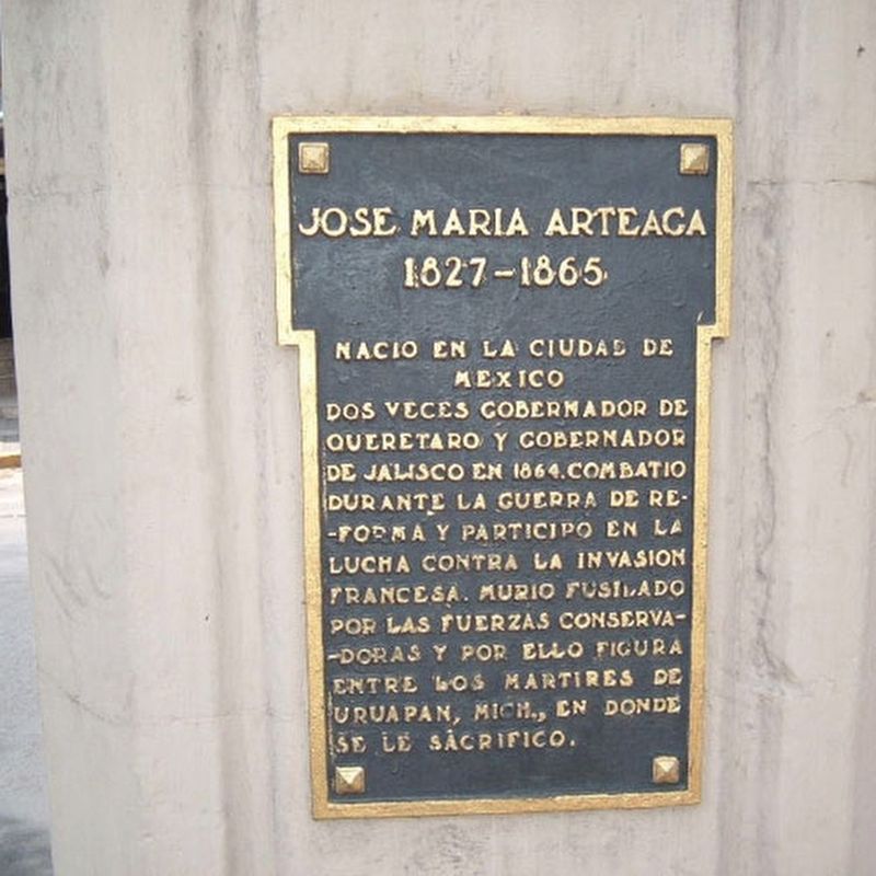
Inscription.
1827 – 1865
Nació en la ciudad de México
Dos veces gobernador de Querétaro y gobernador de Jalisco en 1864. Combatió durante la Guerra de Reforma y participó en la lucha contra la invasión francesa. Murió fusilado por las fuerzas conservadores y por ello figura entre los martires de Uruapan, Mich., en donde se le sacrificó.
José María Arteaga
1827 - 1865
Born in Mexico City, he was twice governor of Querétaro and also governor of Jalisco in 1864. He fought during the War of Reform and participated in the struggle against the French invasion. He was shot by conservative forces and is therefore included among the martyrs of Uruapan, Michoacán, where he was sacrificed.
Topics. This historical marker is listed in these topic lists: Patriots & Patriotism • Wars, Non-US. A significant historical year for this entry is 1827.
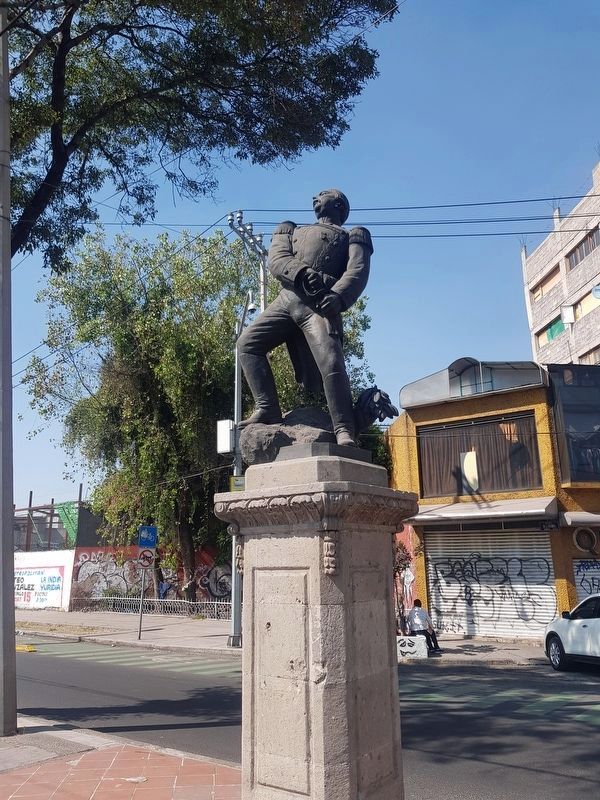
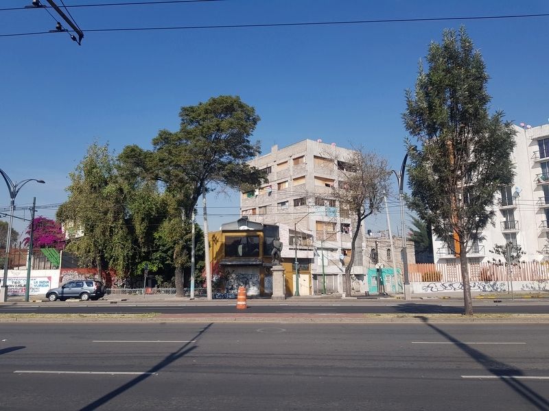
Location. 19° 26.746′ N, 99° 8.259′ W. Marker is in Ciudad de México. It is in Colonia Guerrero. Marker is on Avenida Paseo de la Reforma just south of González Bocanegra , on the left when traveling south. Touch for map. Marker is at or near this postal address: Avenida Paseo de la Reforma 229, Ciudad de México 06300, Mexico. Touch for directions.
Other nearby markers. At least 8 other markers are within walking distance of this marker. Cuitlahuac (approx. 0.4 kilometers away); Samuel Hahnemann (approx. half a kilometer away); José Guadalupe Posada (approx. half a kilometer away); Ehécatl Quetzalcóatl: attracting rain and fertility (approx. half a kilometer away); Friar Bernardino Sahagún (approx. 0.6 kilometers away); Mariachi and the "El Tenampa" Cantina (approx. 0.6 kilometers away); The Palace (approx. 0.6 kilometers away); Tzompantli altar (“flag of heads”) of the south. (approx. 0.6 kilometers away). Touch for a list and map of all markers in Ciudad de México.
Credits. This page was last revised on April 17, 2020. It was originally submitted on February 12, 2020, by J. Makali Bruton of Accra, Ghana. This page has been viewed 134 times since then and 13 times this year. Photos: 1, 2, 3, 4. submitted on February 12, 2020, by J. Makali Bruton of Accra, Ghana.


