Aberdeen in Harford County, Maryland — The American Northeast (Mid-Atlantic)
“The General’s Highway”
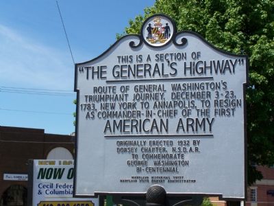
Photographed by William Pfingsten, June 24, 2007
1. “The General’s Highway” Marker
American Army
Originally erected 1932 by Dorsey Chapter N.S.D.A.R. to commemorate George Washington Bi-Centennial.
Erected 1932 by Maryland Historical Trust & Maryland State Highway Administration.
Topics and series. This historical marker is listed in these topic lists: Patriots & Patriotism • War, US Revolutionary. In addition, it is included in the Daughters of the American Revolution (DAR), the Former U.S. Presidents: #01 George Washington, and the Maryland Historical Trust series lists. A significant historical date for this entry is December 3, 1783.
Location. 39° 30.565′ N, 76° 9.81′ W. Marker is in Aberdeen, Maryland, in Harford County. It is at the intersection of Pulaski Highway (U.S. 40) and Bel Air Avenue, on the right when traveling south on Pulaski Highway. This is encountered very slightly before Bel Air Avenue. Touch for map. Marker is in this post office area: Aberdeen MD 21001, United States of America. Touch for directions.

Regionally,
this page online
Other nearby markers. At least 8 other markers are within walking distance of this marker: Aberdeen 9/11 Memorial (about 600 feet away, measured in a direct line); Aberdeen Proving Ground Memorial (about 700 feet away); 2008 Restoration of P.B. & W. Railroad Crossing and Later Pennsylvania Railroad Watchman's Shed (about 700 feet away); Aberdeen Proving Ground (approx. 0.2 miles away); Hall’s Cross Roads (approx. ¼ mile away); Aberdeen Veterans Memorial (approx. ¼ mile away); James B. Baker House (approx. half a mile away); ENIAC (approx. 0.6 miles away). Touch for a list and map of all markers in Aberdeen.
More about this marker. N.S.D.A.R. stands for the National Society, Daughters of the American Revolution.
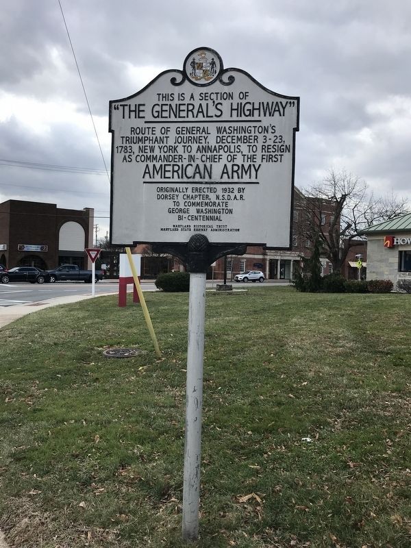
Photographed by Adam Margolis, January 18, 2022
2. This is a Section of “The General’s Highway” Marker
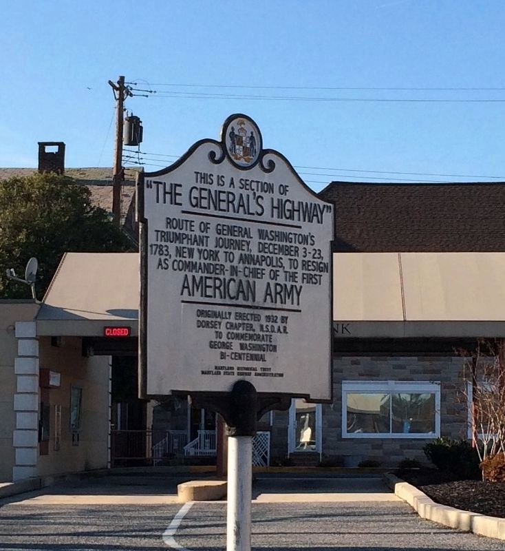
Photographed by Adam Margolis, December 25, 2016
3. This is a Section of “The General’s Highway” Marker
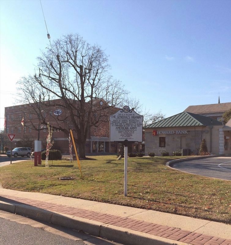
Photographed by Adam Margolis, December 25, 2016
4. This is a Section of “The General’s Highway” Marker
Credits. This page was last revised on December 28, 2024. It was originally submitted on June 24, 2007, by Bill Pfingsten of Bel Air, Maryland. This page has been viewed 2,512 times since then and 63 times this year. Last updated on February 13, 2020, by Carl Gordon Moore Jr. of North East, Maryland. Photos: 1. submitted on June 24, 2007, by Bill Pfingsten of Bel Air, Maryland. 2, 3, 4. submitted on January 18, 2022, by Adam Margolis of Mission Viejo, California.
