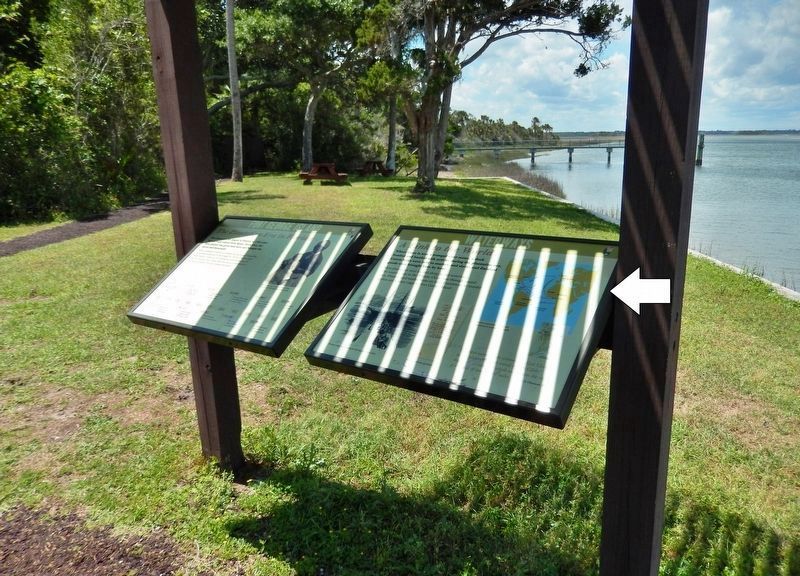
Fort George Island near Jacksonville in Duval County, Florida — The American South (South Atlantic)
Waterways
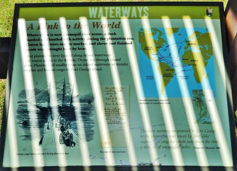
A Link to the World
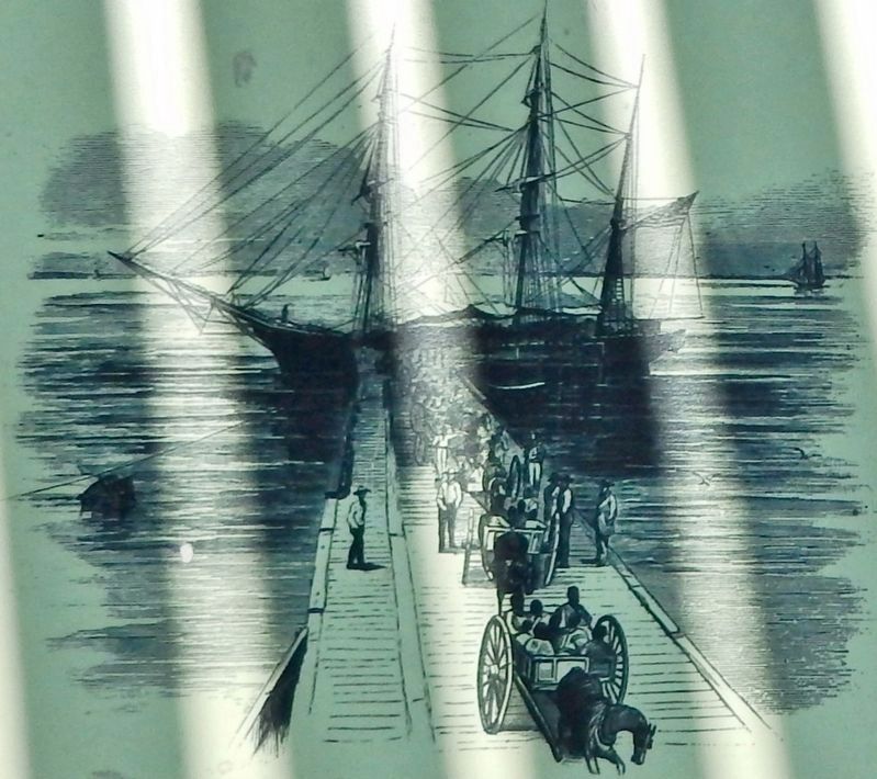
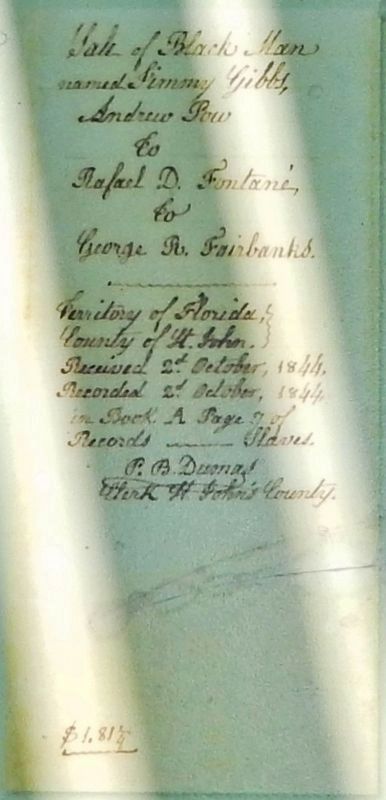
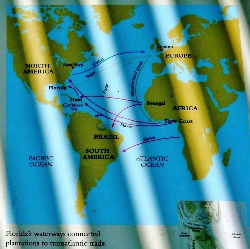
Most plantations were located along inland waterways. The easiest access to the Atlantic Ocean was through coastal ports. Planters used smaller boats on inland waterways to transfer supplies and human cargo to Fort George Island.
The next morning we returned to Fort George in the plantation boat rowed by Mr. Gibbs’ negroes who sang the whole way down the river, a distance of twenty-five miles.
Charles H. Olmstead, 1850
Topics. This historical marker is listed in these topic lists: African Americans • Industry & Commerce • Waterways & Vessels. A significant historical year for this entry is 1850.
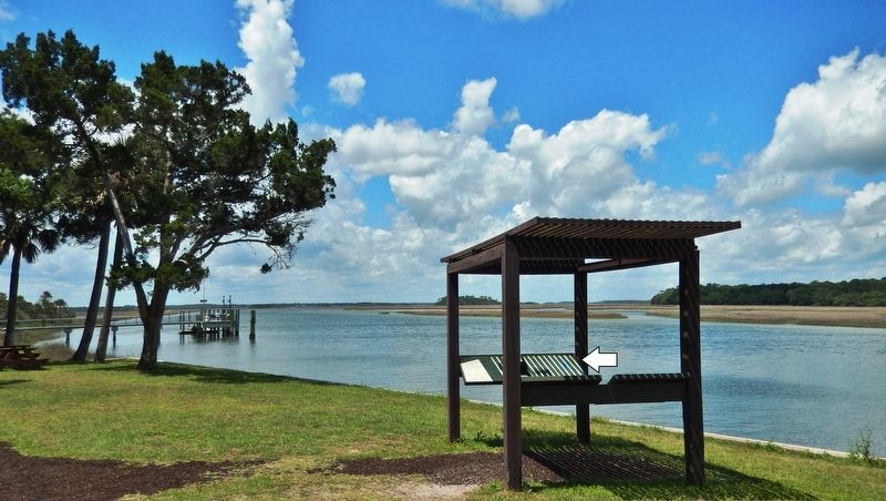
Location. 30° 26.431′ N, 81° 26.295′ W. Marker is near Jacksonville, Florida, in Duval County. It is on Fort George Island. Marker can be reached from Palmetto Avenue, 2.1 miles north of Fort George Road when traveling north. Marker is located at the Kingsley Plantation Historical Site, within the Timucuan Ecological and Historic Preserve. Marker is in an interpretive kiosk at the north edge of the plantation site, overlooking the Fort George River. Access to Kingsley Plantation is north from Florida State Route A1A (Heckscher Drive), onto Fort George Road, and then about 1/2 mile north to the intersection of Fort George Road and Palmetto Avenue. Touch for map. Marker is at or near this postal address: 11676 Palmetto Avenue, Jacksonville FL 32226, United States of America. Touch for directions.
Other nearby markers. At least 8 other markers are within walking distance of this marker. Fort George Island (here, next to this marker); Plantation House (here, next to this marker); Choices (here, next to this marker); Slave Trade / La Traite d'Esclaves (about 300 feet away, measured in a direct line); A Very Comfortable Habitation (about 300 feet away); a different marker also named Slave Trade / La Traite d'Esclaves (about 400 feet away); Looking Back (about 400 feet away); a different marker also named Looking Back (about 400 feet away). Touch for a list and map of all markers in Jacksonville.
Regarding Waterways. Kingsley Plantation is listed on the National Register of Historic Places, #70000182.
Also see . . . Stories of the Enslaved. The enslaved people living on Fort George Island were barred from both reading and writing. It would have been illegal for them to record their stories in diaries or letters. Without written sources recounting their experience's proves difficult. Archaeology, oral histories, accounts authored by Zephaniah Kingsley, official documents and photographic evidence help us tell a few of their stories. (Submitted on February 14, 2020, by Cosmos Mariner of Cape Canaveral, Florida.)
Credits. This page was last revised on February 3, 2023. It was originally submitted on February 14, 2020, by Cosmos Mariner of Cape Canaveral, Florida. This page has been viewed 142 times since then and 9 times this year. Photos: 1, 2, 3, 4, 5, 6. submitted on February 14, 2020, by Cosmos Mariner of Cape Canaveral, Florida.
