Mosca in Alamosa County, Colorado — The American Mountains (Southwest)
Pike and Southwest Commerce
An Inauspicious Beginning
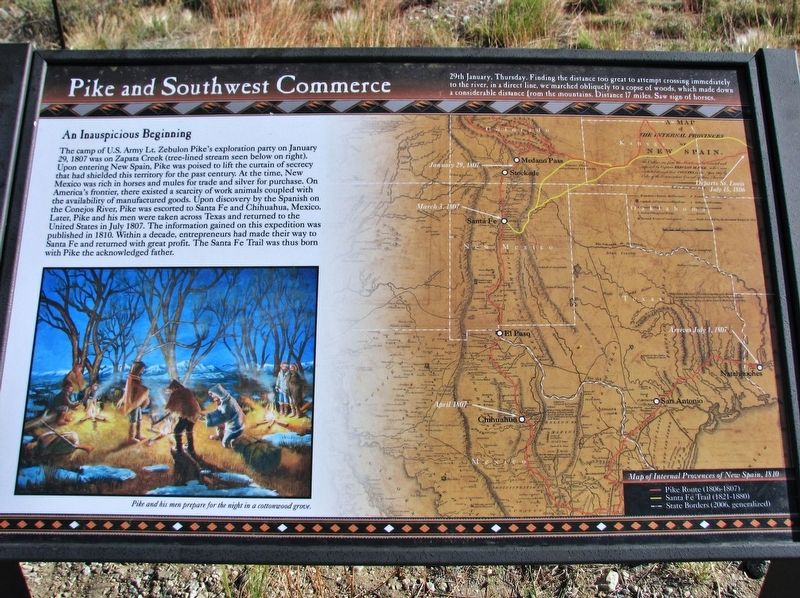
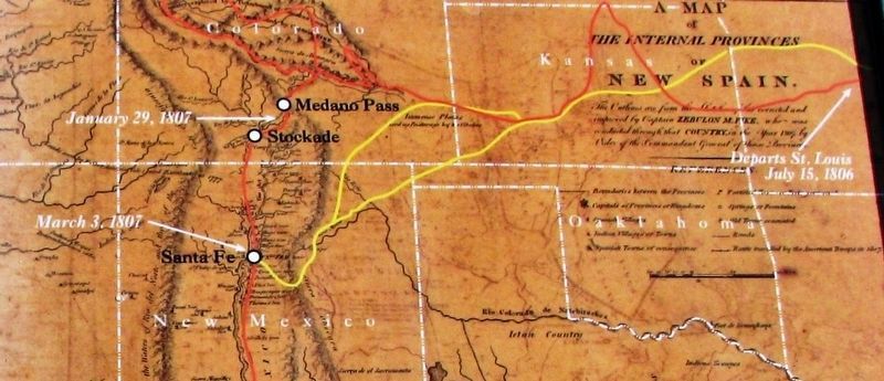
The camp of U.S. Army Lt. Zebulon Pike's exploration party on January 29, 1807 was on Zapata Creek (tree-lined stream seen below on right). Upon entering New Spain, Pike was poised to lift the curtain of secrecy that had shielded this territory for the past century. At the time, New Mexico was rich in horses and mules for trade and silver for purchase. On America's frontier, there existed a scarcity of work animals coupled with the availability of manufactured goods. Upon discovery by the Spanish on the Conejos River, Pike was escorted to Santa Fe and Chihuahua, Mexico. Later, Pike and his men were taken across Texas and returned to the United States in July 1807. The information gained on this expedition was published in 1810. Within a decade, entrepreneurs had made their way to Santa Fe and returned with great profit. The Santa Fe Trail was thus born with Pike the acknowledged father.
Topics. This historical marker is listed in these topic lists: Exploration • Industry & Commerce • Settlements & Settlers. A significant historical date for this entry is January 29, 1807.
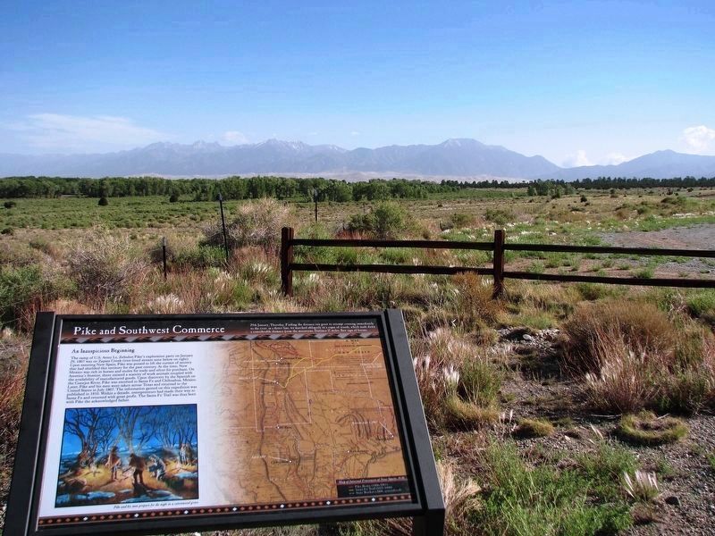
Location. 37° 38.263′ N, 105° 35.364′ W. Marker is in Mosca, Colorado, in Alamosa County. Marker is on State Highway 150, 11.4 miles north of U.S. 160, on the left when traveling north. Marker is located in a pull-out on the west side of the highway. Touch for map. Marker is in this post office area: Mosca CO 81146, United States of America. Touch for directions.
Other nearby markers. At least 8 other markers are within 8 miles of this marker, measured as the crow flies. Evidence of a Changing World (approx. 1.8 miles away); L.B. "Bill" Casselman (approx. 1.8 miles away); Understanding the Great Sand Dunes System: the Sand Sheet (approx. 1.8 miles away); Understanding the Great Sand Dunes System: the Sabkha (approx. 1.8 miles away); Sounds of Silence (approx. 1.8 miles away); "Totally Unique and Unexpected" (approx. 4.7 miles away); A Landmark for People (approx. 5.6 miles away); Zebulon Pike's "sand-hills" (approx. 7.6 miles away). Touch for a list and map of all markers in Mosca.
Also see . . . Zebulon Montgomery Pike (Wikipedia). The Spanish authorities confiscated Pike's journals, which were not recovered by the United States from Mexico until the 1900s. Pike wrote an account from memory of his expeditions, which was published in 1810 as The expeditions of Zebulon Montgomery Pike to Headwaters of the Mississippi River, through Louisiana Territory, and in New Spain, during the Years
1805-6-7. It was popular; was later translated into Dutch, French, and German editions; and became required reading for all American explorers who followed him in the 19th century. (Submitted on February 16, 2020, by Cosmos Mariner of Cape Canaveral, Florida.)
Credits. This page was last revised on February 16, 2020. It was originally submitted on February 14, 2020, by Cosmos Mariner of Cape Canaveral, Florida. This page has been viewed 191 times since then and 14 times this year. Photos: 1, 2, 3. submitted on February 16, 2020, by Cosmos Mariner of Cape Canaveral, Florida.


