Near North East in Cecil County, Maryland — The American Northeast (Mid-Atlantic)
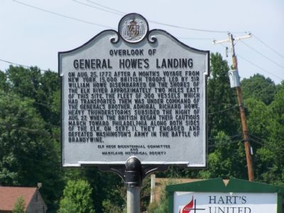
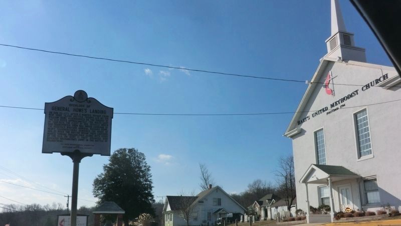
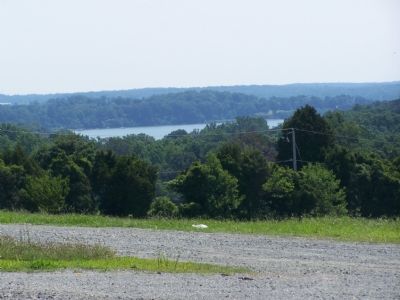
Overlook of General Howe’s Landing
Erected by Elk Neck Bicentennial Committee and Maryland Historical Society.
Topics. This historical marker is listed in these topic lists: Military • War, US Revolutionary • Waterways & Vessels. A significant historical date for this entry is August 25, 1777.
Location. 39° 30.706′ N, 75° 57.164′ W. Marker is near North East, Maryland, in Cecil County. Marker is on Turkey Point Road (Maryland Route 272) 0.1 miles south of Old Elk Neck Road, on the right when traveling south. Touch for map. Marker is at or near this postal address: 3203 Turkey Point Road, North East MD 21901, United States of America. Touch for directions.
Other nearby markers. At least 8 other markers are within 5 miles of this marker, measured as the crow flies. An Earthly Paradise (approx. 2.3 miles away); Bird’s Eye View (approx. 2.3 miles away); Cherry Grove (approx. 3.8 miles away); Site of Charlestown Wharf (approx. 4.2 miles away); Shrewd Decision (approx. 4.2 miles away); Capt. Michael Rudulph (approx. 4.2 miles away); Susquehanna Manor (approx. 4.2 miles away); Lt. Col. Nathaniel Ramsay (approx. 4.4 miles away). Touch for a list and map of all markers in North East.
Credits. This page was last revised on February 15, 2020. It was originally submitted on July 15, 2007, by Bill Pfingsten of Bel Air, Maryland. This page has been viewed 3,028 times since then and 76 times this year. Last updated on February 15, 2020, by Carl Gordon Moore Jr. of North East, Maryland. Photos: 1. submitted on July 15, 2007, by Bill Pfingsten of Bel Air, Maryland. 2. submitted on September 1, 2017, by Don Morfe of Baltimore, Maryland. 3. submitted on July 15, 2007, by Bill Pfingsten of Bel Air, Maryland.


