Near Taghkanic in Columbia County, New York — The American Northeast (Mid-Atlantic)
Gallatin - Taghkanic Town Line
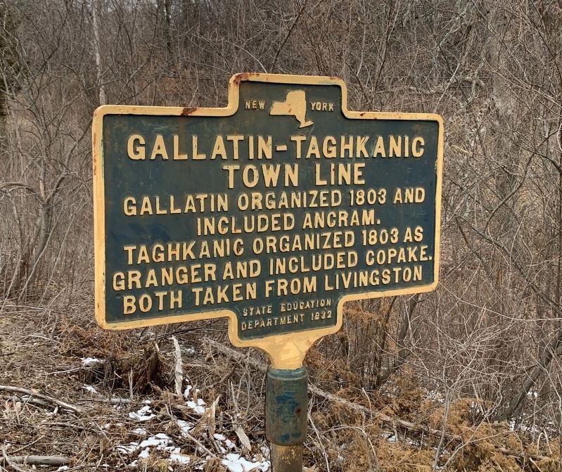
Photographed by Steve Stoessel, February 16, 2020
1. Gallatin - Taghkanic Town Line Marker
Erected 1932 by State Education Department.
Topics. This historical marker is listed in this topic list: Settlements & Settlers. A significant historical year for this entry is 1803.
Location. 42° 5.546′ N, 73° 41.366′ W. Marker is near Taghkanic, New York, in Columbia County. It is at the intersection of New York State Route 82 and Lake Taghkanic Road, on the left when traveling south on New York State Route 82. Touch for map. Marker is in this post office area: Ancram NY 12502, United States of America. Touch for directions.

Regionally, this marker is in Upstate New York and in the Hudson Valley. It is also in the American Northeast and in the Mid-Atlantic. Globally, it is in North America, the Western Hemisphere, the Western World, and the Anglosphere. Historically, it finds itself in what was once New Netherland and also one of the original Thirteen Colonies.
Other nearby markers. At least 8 other markers are within 3 miles of this marker, measured as the crow flies: Stage Inn
this page online
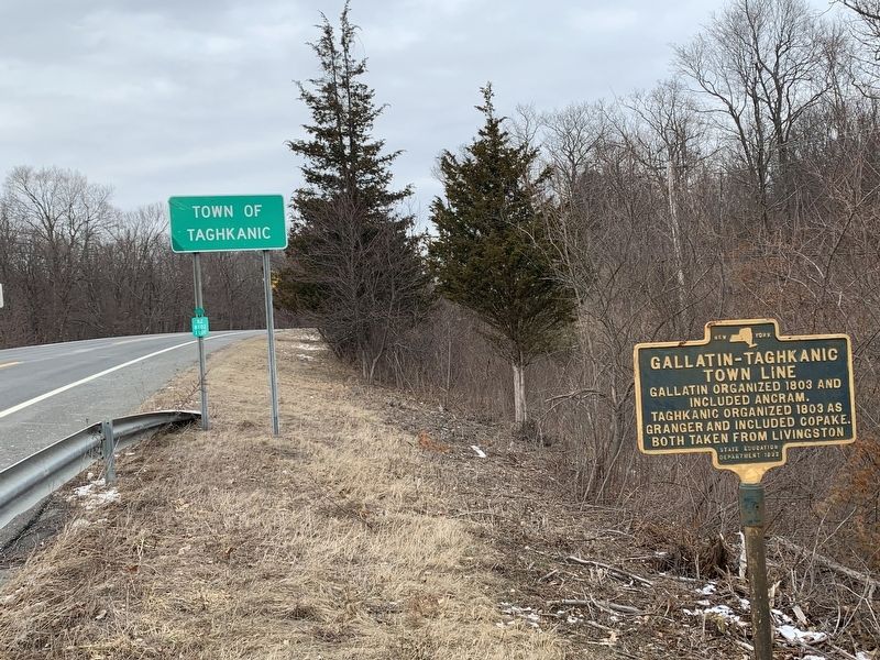
Photographed by Steve Stoessel
2. Gallatin - Taghkanic Town Line Marker
Credits. This page was last revised on October 27, 2021. It was originally submitted on February 16, 2020, by Steve Stoessel of Niskayuna, New York. This page has been viewed 327 times since then and 18 times this year. Photos: 1, 2. submitted on February 16, 2020, by Steve Stoessel of Niskayuna, New York. • Michael Herrick was the editor who published this page.
