Overland in St. Louis County, Missouri — The American Midwest (Upper Plains)
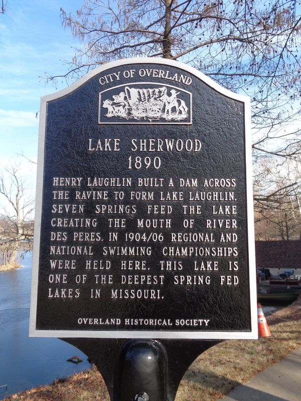
Lake Sherwood
1890
— City of Overland —
Erected by Overland Historical Society.
Topics and series. This historical marker is listed in these topic lists: Sports • Waterways & Vessels. In addition, it is included in the Missouri, Overland Historical Society series list. A significant historical year for this entry is 1890.
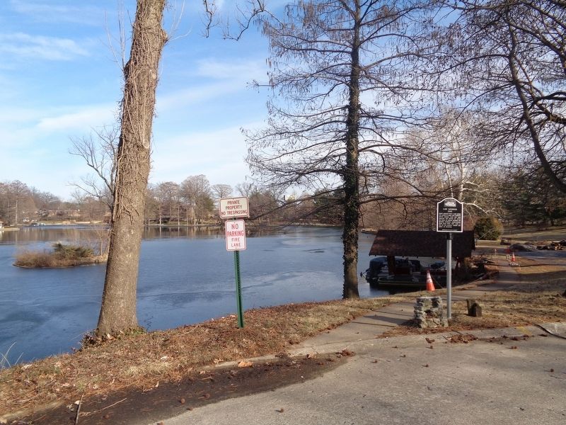
Location. 38° 41.606′ N, 90° 21.147′ W. Marker is in Overland, Missouri, in St. Louis County. Marker is on West Sherwood Drive south of Crossbow Court, on the right when traveling east. Marker is located at the end of West Sherwood Drive, near private residences at the cul de sac. Touch for map. Marker is at or near this postal address: 96 West Sherwood Drive, Saint Louis MO 63114, United States of America. Touch for directions.
Other nearby markers. At least 8 other markers are within walking distance of this marker. Site of Daniel Boone's Cabin (about 700 feet away, measured in a direct line); Randolph Laughlin House (approx. 0.3 miles away); Site of Charles / James Loring House (approx. 0.4 miles away); Site of Grace Van Studiford House (approx. 0.4 miles away); Site of Twelve Mile Inn (approx. 0.6 miles away); The Overland Trail (approx. 0.6 miles away); Site of Caleb Baldwin House (approx. 0.6 miles away); William Heidbrink & Clarence A. Fritz Building (approx. 0.6 miles away). Touch for a list and map of all markers in Overland.
Credits. This page was last revised on November 7, 2020. It was originally submitted on February 17, 2020, by Jason Voigt of Glen Carbon, Illinois. This page has been viewed 1,700 times since then and 372 times this year. Photos: 1, 2. submitted on February 17, 2020, by Jason Voigt of Glen Carbon, Illinois. • Devry Becker Jones was the editor who published this page.

