Overland in St. Louis County, Missouri — The American Midwest (Upper Plains)
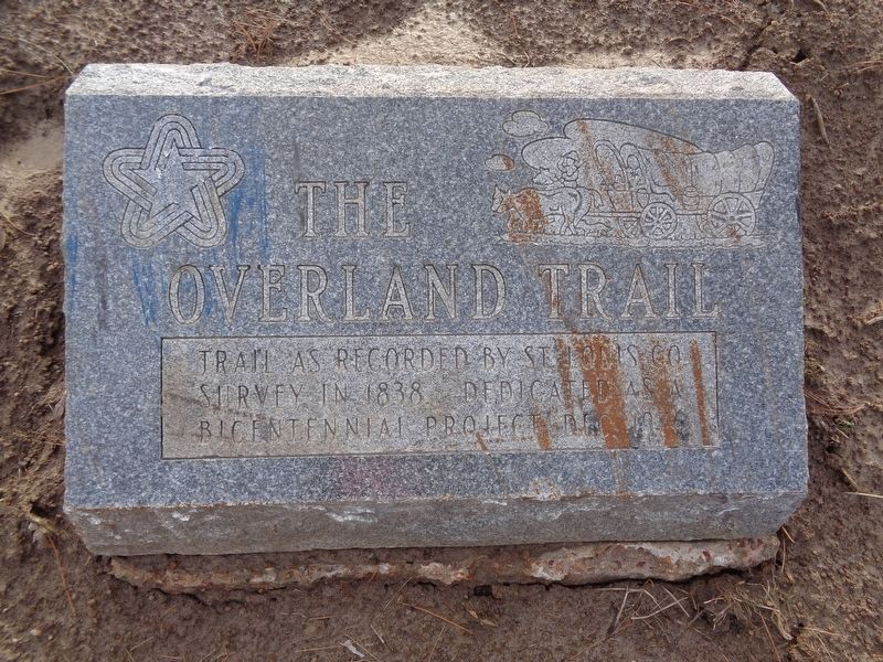
The Overland Trail
Erected 1976.
Topics. This historical marker is listed in this topic list: Roads & Vehicles. A significant historical year for this entry is 1838.
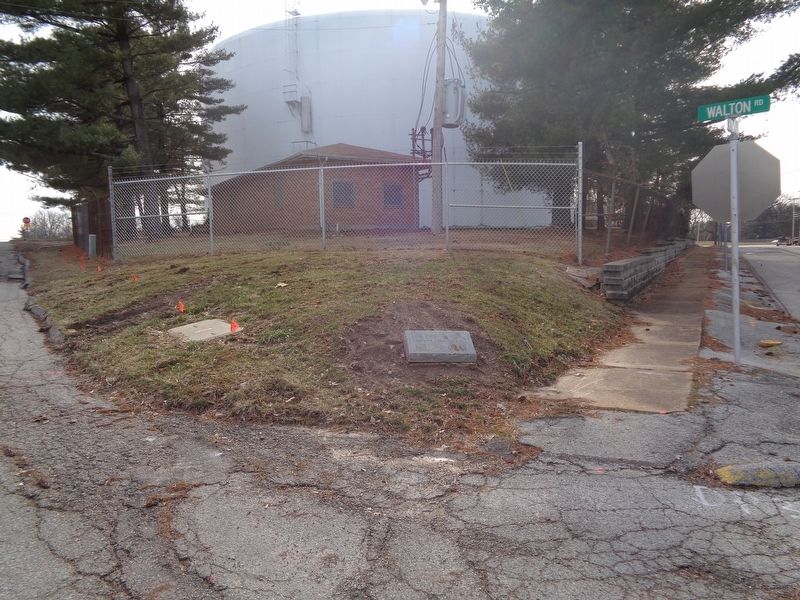
Location. 38° 41.97′ N, 90° 20.751′ W. Marker is in Overland, Missouri, in St. Louis County. Marker is at the intersection of Lackland Road and Walton Road, on the left when traveling west on Lackland Road. Touch for map. Marker is at or near this postal address: 8605 Lackland Road, Saint Louis MO 63114, United States of America. Touch for directions.
Other nearby markers. At least 8 other markers are within walking distance of this marker. Site of Twelve Mile Inn (here, next to this marker); Randolph Laughlin House (approx. 0.4 miles away); Site of Charles / James Loring House (approx. 0.4 miles away); Site of Grace Van Studiford House (approx. half a mile away); Lake Sherwood (approx. 0.6 miles away); Site of Daniel Boone's Cabin (approx. 0.6 miles away); Site of Caleb Baldwin House (approx. 0.7 miles away); William Heidbrink & Clarence A. Fritz Building (approx. ¾ mile away). Touch for a list and map of all markers in Overland.
More about this marker. There is an additional Overland Trail marker, identical to this one, placed beneath the Lackland / Baker Mansion marker in Overland.
Credits. This page was last revised on November 18, 2020. It was originally submitted on February 17, 2020, by Jason Voigt of Glen Carbon, Illinois. This page has been viewed 408 times since then and 49 times this year. Last updated on April 4, 2020, by Jason Voigt of Glen Carbon, Illinois. Photos: 1, 2. submitted on February 17, 2020, by Jason Voigt of Glen Carbon, Illinois. • Devry Becker Jones was the editor who published this page.

